Cheraw in Chesterfield County, South Carolina — The American South (South Atlantic)
Robert Smalls School
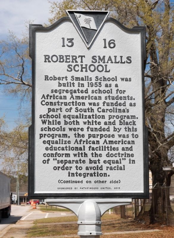
Photographed by J. J. Prats, March 19, 2025
1. Robert Smalls School Marker, Side One
Designed by the firm of Hopkins, Baker & Gill of Florence, S.C., the school’s Colonial Revival aesthetic was heavily influenced by Cheraw, Incorporated, a group of local leaders who worked to ensure that new construction in the area was consistent with Cheraw’s historic character. The architecture of the building sets it apart from other equalization schools, which were usually built in a mid-century modern style.
Erected 2015 by Department of Archives and History. Sponsored by Pathfinders United. (Marker Number 13-16.)
Topics. This historical marker is listed in these topic lists: African Americans • Education. A significant historical year for this entry is 1953.
Location. 34° 42.099′ N, 79° 53.028′ W.
this page online

Regionally, this marker is in the Pee Dee and in the Olde English District. It is also in the American South and specifically in the Deep South. Globally, it is in North America, the Western Hemisphere, the Western World, and the Anglosphere. Historically, it finds itself in what was once the territory of the Mississippian Culture, one of the original Thirteen Colonies, one of the Confederate States of America, and the Antebellum South.
Other nearby markers. At least 8 other markers are within walking distance of this marker: Coulter Memorial Academy Site (about 700 feet away, measured in a direct line); Lafayette’s Tour (approx. 0.3 miles away); The 71st Regiment of Foot (approx. 0.4 miles away); Old St. David's (approx. 0.4 miles away); Francis Asbury's First Visit to S.C. (approx. half a mile away); Pee Dee Union Baptist Church (approx. half
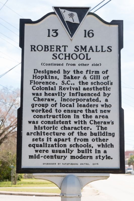
Photographed by J. J. Prats, March 19, 2025
2. Robert Smalls School Marker, Side Two
Another marker is no longer nearby. Grave of British Soldier (was approx. half a mile away but has been replaced with another marker now near it).
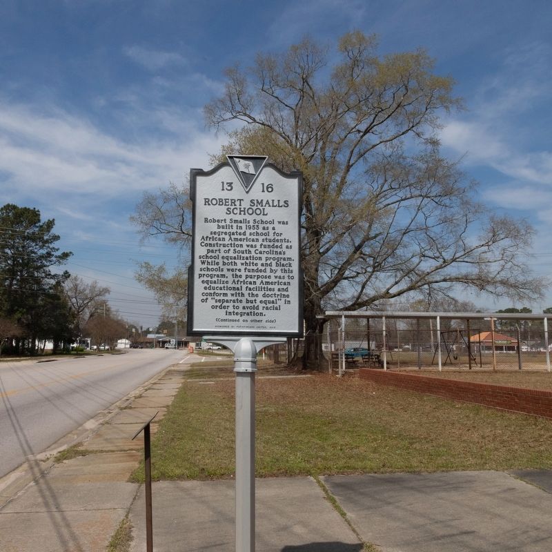
Photographed by J. J. Prats, March 19, 2025
3. Robert Smalls School Marker

Photographed by J. J. Prats, March 19, 2025
4. The Former Robert Smalls School
Credits. This page was last revised on March 23, 2025. It was originally submitted on March 23, 2025, by J. J. Prats of Powell, Ohio. This page has been viewed 203 times since then and 31 times this year. Photos: 1, 2, 3, 4. submitted on March 23, 2025, by J. J. Prats of Powell, Ohio.
