Near Wallace in Marlboro County, South Carolina — The American South (South Atlantic)
Beaver Dam Baptist Church
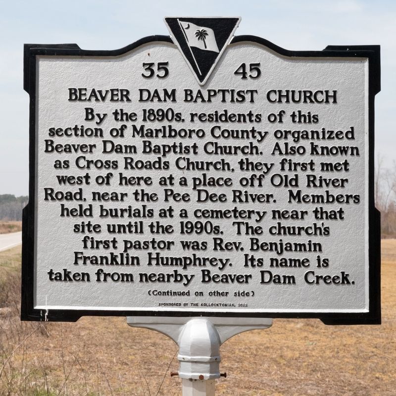
Photographed by J. J. Prats, March 19, 2025
1. Beaver Dam Baptist Church Marker, Side One
For many years, the church supported a public school for African Americans known as Beaver Dam or Irby Colored School. By 1917, the church had moved to a nearby 1½-acre lot off Brickyard Road. The original building at this site was likely replaced by the current church, a wood frame building later veneered with concrete block. The church was damaged by a major tornado in 1984 but survived.
Erected 2022 by Department of Archives and History. Sponsored by Kollocktonian. (Marker Number 35-45.)
Topics. This historical marker is listed in these topic lists: African Americans • Education • Religion & Religious Structures. A significant historical year for this entry is 1917.
Location. 34° 40.997′ N, 79° 48.453′ W.
this page online

Regionally, this marker is in South Carolina’s Pee Dee. It is also in the American South and specifically in the Deep South. Globally, it is in North America, the Western Hemisphere, the Western World, and the Anglosphere. Historically, it finds itself in what was once the territory of the Mississippian Culture, one of the original Thirteen Colonies, one of the Confederate States of America, and the Antebellum South.
Other nearby markers. At least 8 other markers are within 5 miles of this marker, measured as the crow flies: John Lyde Wilson (approx. 3 miles away); John Lowndes McLaurin (approx. 3½ miles away); Pee Dee Union Baptist Church (approx. 4.1 miles away); Cheraw Confederate Memorial (approx. 4.1 miles away); Old St. David's (approx. 4.2 miles away); The 71st Regiment of Foot
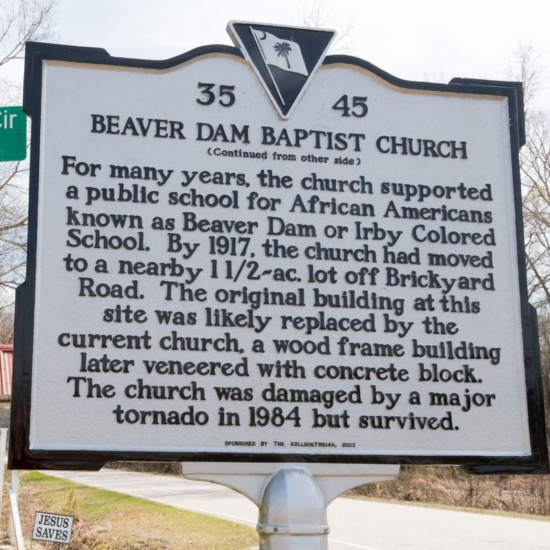
Photographed by J. J. Prats, March 19, 2025
2. Beaver Dam Baptist Church Marker, Side Two
Other markers no longer nearby. Greene's Encampment / Sherman's March (was approx. 4 miles away but has been confirmed missing); Albert M. Shipp (was approx. 4.2 miles away but has been confirmed missing); Grave of British Soldier (was approx. 4.2 miles away but has been replaced with another marker now near it).
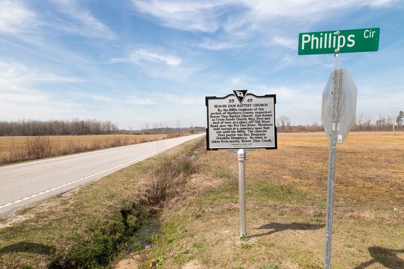
Photographed by J. J. Prats, March 19, 2025
3. Beaver Dam Baptist Church Marker
This view is to the east.
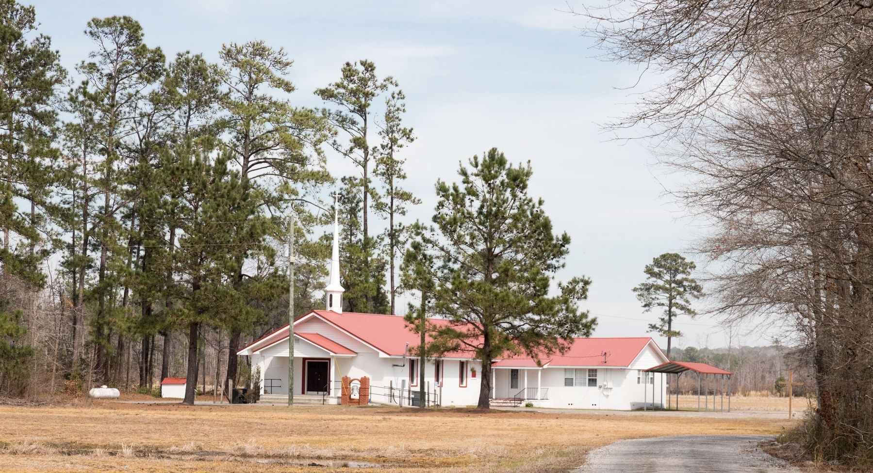
Photographed by J. J. Prats, March 19, 2025
4. Beaver Dam Baptist Church
This view is from the marker.
Credits. This page was last revised on March 23, 2025. It was originally submitted on March 23, 2025, by J. J. Prats of Powell, Ohio. This page has been viewed 229 times since then and 52 times this year. Photos: 1, 2, 3, 4. submitted on March 23, 2025, by J. J. Prats of Powell, Ohio.
