Bennettsville in Marlboro County, South Carolina — The American South (South Atlantic)
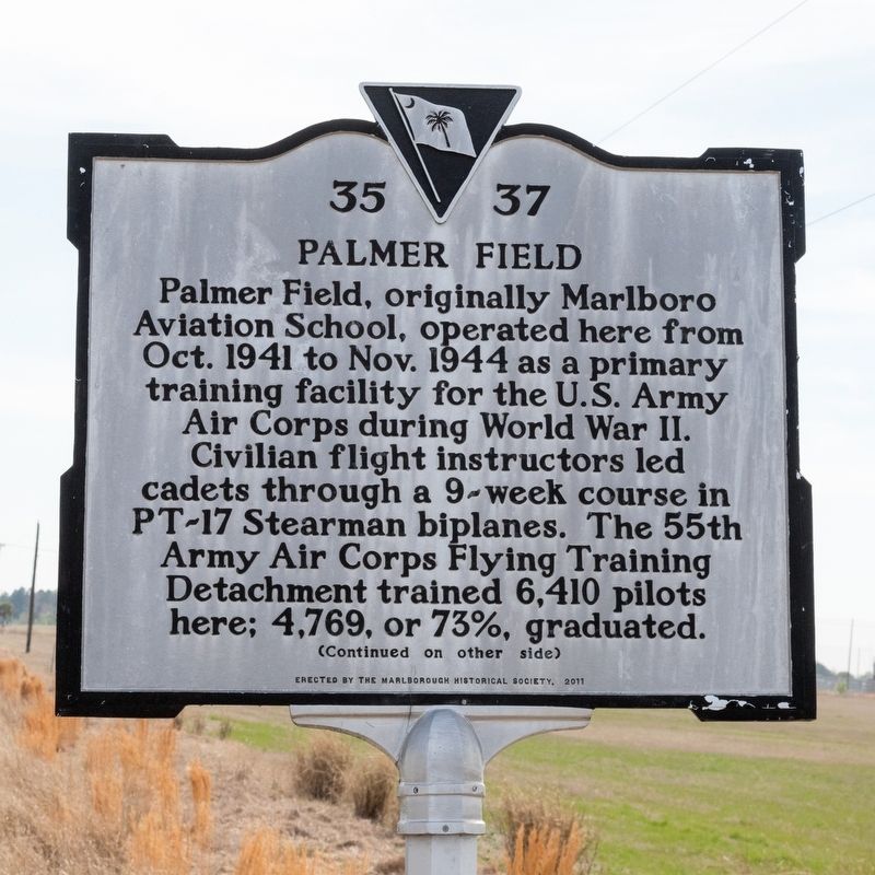
Palmer Field
⎯⎯⎯
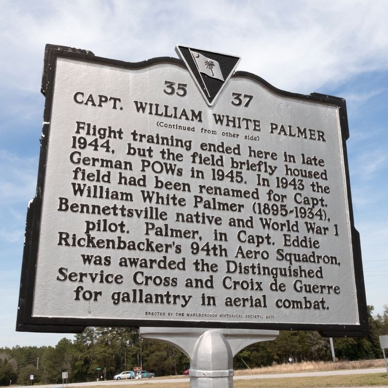
Capt. William White Palmer
Photographed by J. J. Prats, March 19, 2025
1. Palmer Field side of marker
Flight training ended here in late 1944, but the field briefly housed German POWs in 1945. In 1943 the field had been renamed for Capt. William White Palmer (1895-1934), Bennettsville native and World War I pilot. Palmer, in Capt. Eddie Rickenbacker’s 94th Aero Squadron, was awarded the Distinguished Service Cross and Croix de Guerre for gallantry in aerial combat.
Erected 2011 by The Marlborough Historical Society. (Marker Number 35-37.)
Topics. This historical marker is listed in these topic lists: Air & Space • War, World II. A significant historical month for this entry is October 1944.
Location. 34° 39.504′ N, 79° 42.945′ W. Marker is in Bennettsville, South Carolina, in Marlboro County. It is at the intersection of Sea Mountain Highway
this page online

Regionally, this marker is in South Carolina’s Pee Dee. It is also in the American South and specifically in the Deep South. Globally, it is in North America, the Western Hemisphere, the Western World, and the Anglosphere. Historically, it finds itself in what was once the territory of the Mississippian Culture, one of the original Thirteen Colonies, one of the Confederate States of America, and the Antebellum South.
Other nearby markers. At least 8 other markers are within 4 miles of this marker, measured as the crow flies: John Lowndes McLaurin (approx. 2.2 miles away); Old Beauty Spot (approx. 2.9 miles away); East Side School (approx. 3.1 miles away); St. Michael’s Methodist Church (approx. 3.3 miles away); “The Gulf” (approx. 3.3 miles away); Workers Enterprise Bank (approx. 3.3 miles away); Early Cotton Mill (approx. 3.4 miles away); Playhouse Theatre (approx. 3.4 miles away). Touch for a list and map
Photographed by J. J. Prats, March 19, 2025
2. Capt. William White Palmer side of marker
Photographed by J. J. Prats, March 19, 2025
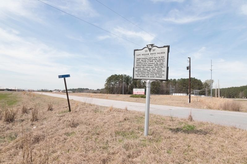
3. Palmer Field / Capt. William White Palmer Marker
Elle Road runs behind marker. State Route 9 is just out of frame on the right.
Photographed by J. J. Prats, March 19, 2025
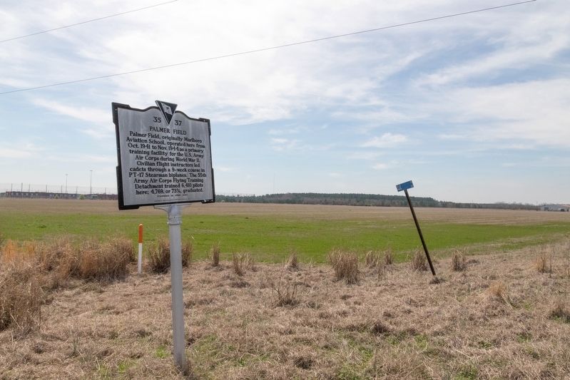
4. The Former Palmer Field and Marker
Credits. This page was last revised on March 23, 2025. It was originally submitted on March 23, 2025, by J. J. Prats of Powell, Ohio. This page has been viewed 503 times since then and 125 times this year. Photos: 1, 2, 3, 4. submitted on March 23, 2025, by J. J. Prats of Powell, Ohio.
