Amsterdam-Noord , North Holland, Netherlands — Northwestern Europe
Gerben Wagenaarbrug
Photographed by Andrew Ruppenstein, March 23, 2025
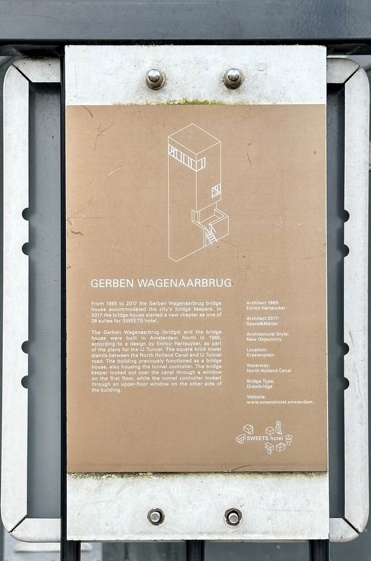
1. Gerben Wagenaarbrug Marker
From 1965 to 2017 the Gerben Wagenaarbrug bridge house accommodated the city's bridge keepers. In 2017 the bridge house started a new chapter as one of 28 suites for SWEETS hotel.
The Gerben Wagenaarbrug (bridge) and the bridge house were built in Amsterdam North in 1965, according to a design by Enrico Hartsuyker, as part of the plans for the IJ Tunnel. The square brick tower stands between the North Holland Canal and IJ Tunnel road. The building previously functioned as a bridge house, also housing the tunnel controller. The bridge keeper looked out over the canal through a window on the first floor, while the tunnel controller looked through an upper-floor window on the other side of the building.
Architect 1965: Enrico Hartsuyker
Architect 2017: Space&Matter
Architectural Style: New Objectivity
Location: Kraaienplein
Waterway: North Holland Canal
Bridge Type: Drawbridge
Website: www.sweetshotel.amsterdam
Erected by SWEETS Hotel.
Topics. This historical marker is listed in these topic lists: Bridges & Viaducts • Industry & Commerce. A significant historical year for this entry is 1965.
Location. 52° 23.2′ N, 4° 54.839′ E. Marker is in Amsterdam, Noord-Holland (North Holland). It is in Amsterdam-Noord. It is on Kraaienplein, on the right when traveling east. Touch for map. Marker is at or near this postal address: Kraaienplein 1, Amsterdam, Noord-Holland 1031 CB, Netherlands. Touch for directions.

Regionally, it is in Europe, the European Union, Atlantic Europe, the Benelux Low Countries, the Schengen Area, Western Europe, and the Western World. Historically, it finds itself in what was once the Holy Roman Empire.
Other nearby markers. At least 8 other markers are within walking distance of this marker: Gerben Wagenaar (here, next to this marker); 1936-1939 No Pasaran
this page online
Also see . . . 1 Hotel / 28 Bridge Houses (Sweets Hotel). (Submitted on March 23, 2025.)
Photographed by Andrew Ruppenstein, March 23, 2025
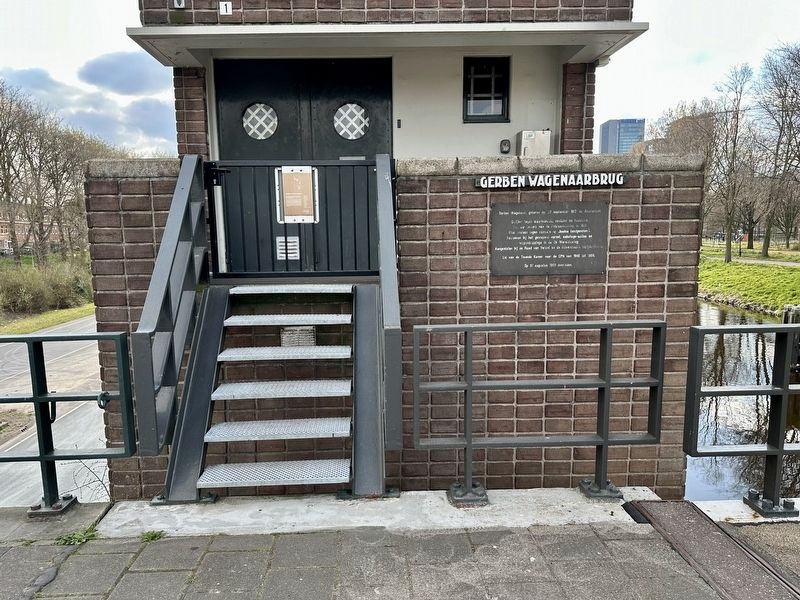
2. Gerben Wagenaarbrug Marker - wide view
Photographed by Andrew Ruppenstein, March 23, 2025
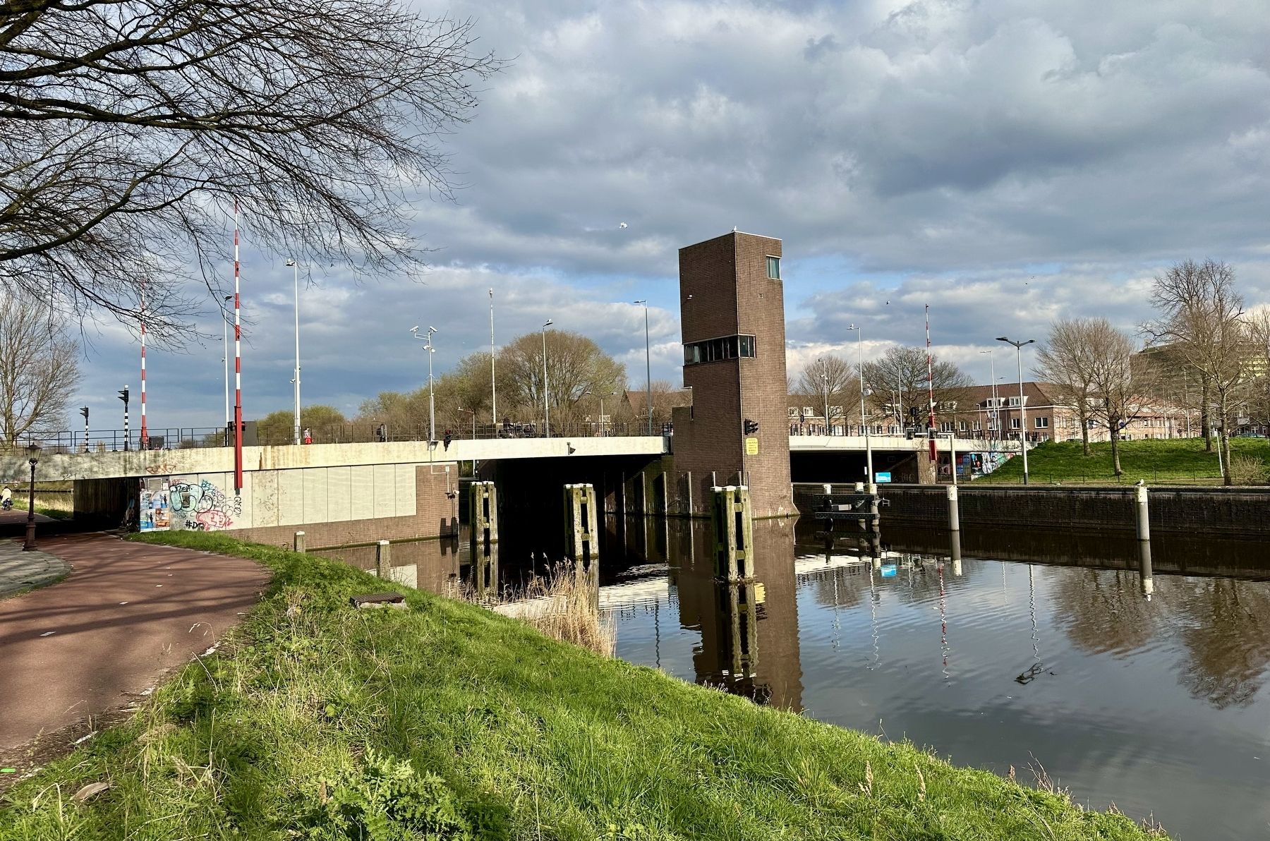
3. Gerben Wagenaarbrug bridge and hotel, as seen from the south
Credits. This page was last revised on March 23, 2025. It was originally submitted on March 23, 2025, by Andrew Ruppenstein of Lamorinda, California. This page has been viewed 111 times since then and 18 times this year. Photos: 1, 2, 3. submitted on March 23, 2025, by Andrew Ruppenstein of Lamorinda, California.
