Greenville in Butler County, Alabama — The American South (East South Central)
Butler Chapel A.M.E. Zion Church
Butler County
Photographed by Mark Hilton, March 23, 2025
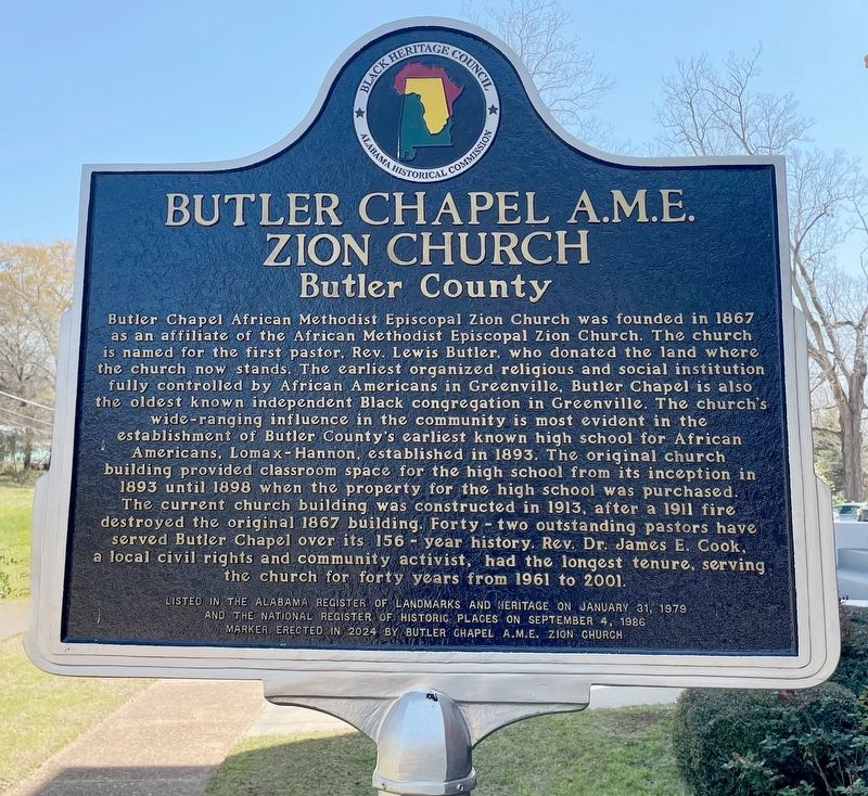
1. Butler Chapel A.M.E. Zion Church Marker
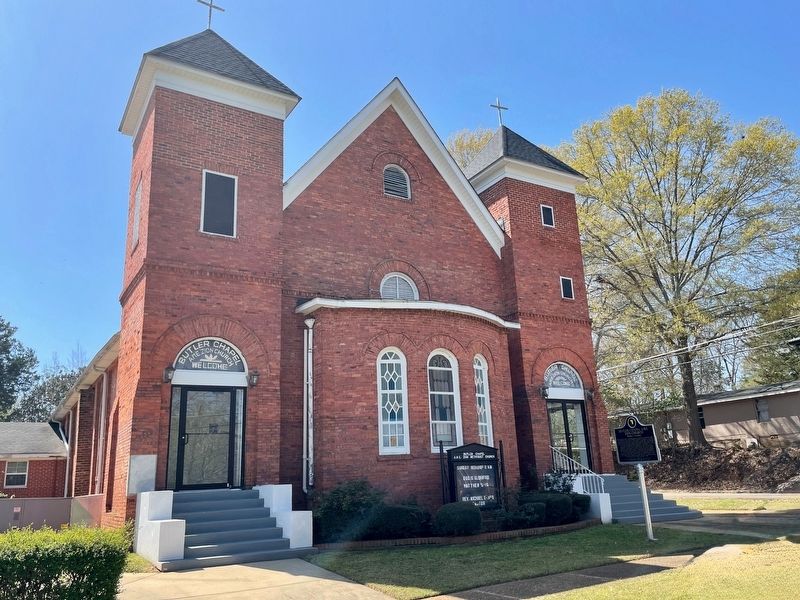
Butler Chapel African Methodist Episcopal Zion Church was founded in 1867 as an affiliate of the African Methodist Episcopal Zion Church. The church is named for the first pastor, Rev. Lewis Butler, who donated the land where the church now stands. The earliest organized religious and social institution fully controlled by African Americans in Greenville, Butler Chapel is also the oldest known independent Black congregation in Greenville. The church's wide-ranging influence in the community is most evident in the establishment of Butler County's earliest known high school for African Americans, Lomax-Hannon, established in 1893. The original church building provided classroom space for the high school from its inception in 1893 until 1898 when the property for the high school was purchased. The current church building was constructed in 1913, after a 1911 fire destroyed the original 1867 building. Forty-two outstanding pastors have served Butler Chapel over its 156 year history. Rev. Dr. James E. Cook, a local civil rights and community activist, had the longest tenure, serving the church for forty years
this page online
Listed in the Alabama Register of Landmarks and Heritage on January 31, 1979 and the National Register of Historic Places on September 4, 1986
Erected 2024 by Butler Chapel A.M.E. Zion Church.
Topics and series. This historical marker is listed in these topic lists: African Americans • Education • Religion & Religious Structures. In addition, it is included in the National Register of Historic Places (NRHP) series list. A significant historical date for this entry is January 31, 1979.
Location. 31° 49.433′ N, 86° 37.504′ W. Marker is in Greenville, Alabama, in Butler County. It is at the intersection of Parmer Street and Oglesby Street, on the right when traveling east on Parmer Street. Touch for map. Marker is at or near this postal address: 347 Oglesby St, Greenville AL 36037, United States of America. Touch for directions.

Regionally, this marker is in the American South, specifically in the Deep South, and in the Black Belt. Globally, it is in North America, a Gulf of Mexico state, the Western Hemisphere, the Western World, and the Anglosphere. Historically, it finds itself in what was once New
Photographed by Mark Hilton, March 23, 2025
2. Butler Chapel A.M.E. Zion Church & Marker
Other nearby markers. At least 8 other markers are within walking distance of this marker: Pioneer Cemetery (approx. 0.3 miles away); Site of Confederate Hospital (approx. 0.3 miles away); In Memory of Captain William Butler (approx. 0.4 miles away); Our Confederate Dead Monument (approx. 0.4 miles away); Butler County World War I Memorial (approx. 0.4 miles away); Greenville City Hall-Site of Public School / Confederate Park (approx. 0.4 miles away); The Camellia City / Greenville (approx. 0.4 miles away); West Commerce Street Historic District / Historic Greenville Depot (approx. 0.4 miles away). Touch for a list and map of all markers in Greenville.
Also see . . . 156-year-old Greenville church receives historical marker. (WSFA.com). (Submitted on March 23, 2025, by Mark Hilton of Montgomery, Alabama.)
Photographed by Mark Hilton, March 23, 2025
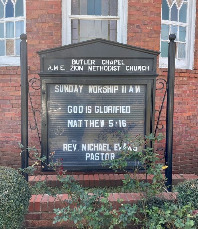
3. Butler Chapel A.M.E. Zion Church
Photographed by Mark Hilton, March 23, 2025
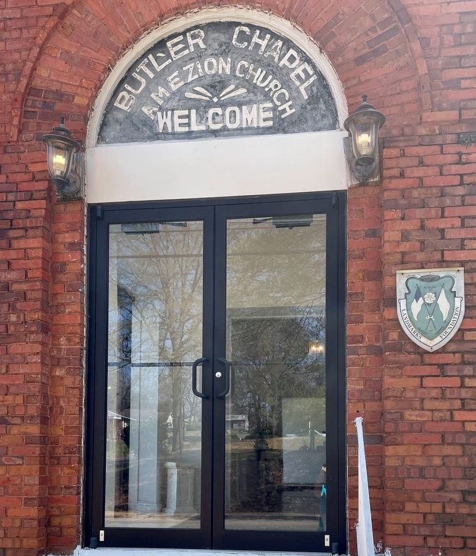
4. Church entrance door & Butler County Historic Landmark sign.
Credits. This page was last revised on March 23, 2025. It was originally submitted on March 23, 2025, by Mark Hilton of Montgomery, Alabama. This page has been viewed 291 times since then and 76 times this year. Photos: 1, 2, 3, 4. submitted on March 23, 2025, by Mark Hilton of Montgomery, Alabama.
