Bennettsville in Marlboro County, South Carolina — The American South (South Atlantic)
East Side School
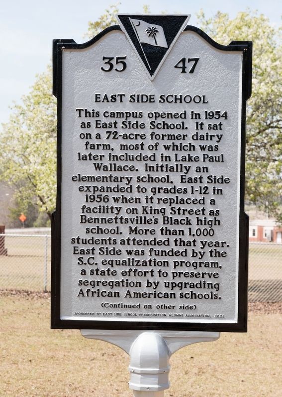
Photographed by J. J. Prats, March 19, 2025
1. East Side School Marker, Side One
In addition to classrooms, the original campus included a gymnasium, auditorium, library, labs, a shop, and a former farmhouse that became the family home of Floyd B. Walker, Sr. and Tomasena Gupple Walker, East Side’s first principal and first librarian. The school was designed by Columbia architects Lyles, Bissett, Carlisle & Wolff. A football field was later added to the northeast. It became a junior high school in 1969 during integration and was later an elementary school.
Erected 2023 by Department of Archives and History. Sponsored by East Side School Preservation Alumni Association. (Marker Number 35-47.)
Topics.
this page online
Location. 34° 37.715′ N, 79° 40.506′ W. Marker is in Bennettsville, South Carolina, in Marlboro County. It is at the intersection of North Cook Street and Country Club Road (County Route S35-220), on the left when traveling north on North Cook Street. Touch for map. Marker is at or near this postal address: 401 N Cook St, Bennettsville SC 29512, United States of America. Touch for directions.

Regionally, this marker is in the Pee Dee. It is also in the American South and specifically in the Deep South. Globally, it is in North America, the Western Hemisphere, the Western World, and the Anglosphere. Historically, it finds itself in what was once the territory of the Mississippian Culture, one of the original Thirteen Colonies, one of the Confederate States of America, and the Antebellum South.
Other nearby markers. At least 8 other markers are within walking distance of this marker: Magnolia (approx. 0.6 miles away); Bennettsville (approx. 0.7 miles away); Bennettsville Methodist Church
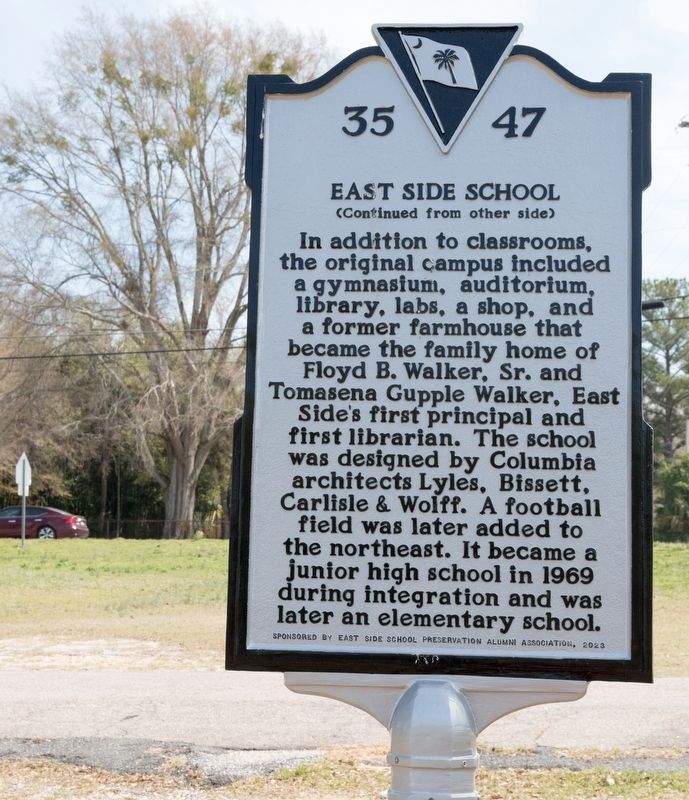
Photographed by J. J. Prats, March 19, 2025
2. East Side School Marker, Side Two
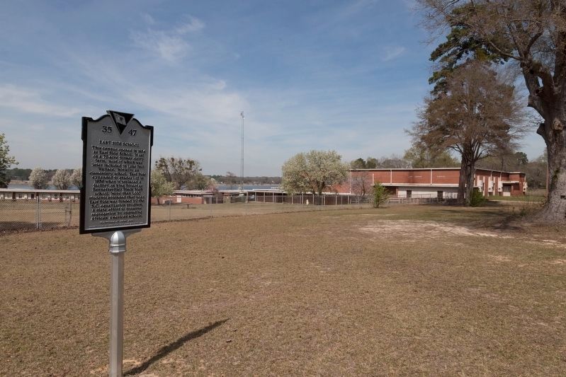
Photographed by J. J. Prats, March 19, 2025
3. East Side School and Marker
Credits. This page was last revised on March 23, 2025. It was originally submitted on March 23, 2025, by J. J. Prats of Powell, Ohio. This page has been viewed 247 times since then and 71 times this year. Photos: 1, 2, 3. submitted on March 23, 2025, by J. J. Prats of Powell, Ohio.
