
Camden in Kershaw County, South Carolina — The American South (South Atlantic)
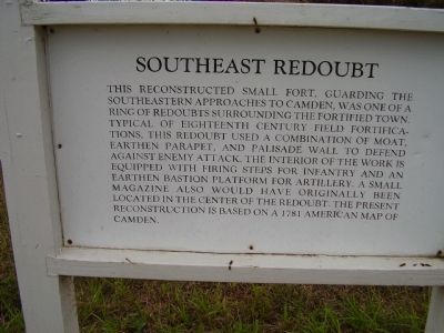
Southeast Redoubt
Photographed by Stanley and Terrie Howard, October 11, 2009
1. Southeast Redoubt Marker
Topics. This historical marker is listed in these topic lists: Forts and Castles • War, US Revolutionary. A significant historical year for this entry is 1781.
Location. 34° 14.057′ N, 80° 36.137′ W. Marker is in Camden, South Carolina, in Kershaw County. It is on State Road (State Highway 28-703). Marker is located in the Historic Camden Revolutionary War Park. Touch for map. Marker is in this post office area: Camden SC 29020, United States of America. Touch for directions.

Regionally, this marker is in the Midlands and in the Olde English District.
this page online
Other nearby markers. At least 8 other markers are within walking distance of this marker: Citizen - Soldiers (within shouting distance of this marker); Prisoners of War (about 300 feet away, measured in a direct line); Kershaw House (about 300 feet away); Joseph Kershaw (1728-1791) (about 400 feet away); The Common (about 400 feet away); British Commanders (about 500 feet away); American Commanders (about 500 feet away); Historic Camden Revolutionary War Site (about 500 feet away). Touch for a list and map of all markers in Camden.
Photographed by Stanley and Terrie Howard, October 11, 2009
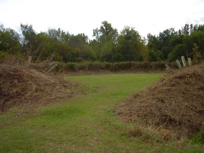
2. Southeast Redoubt Marker
April 21, 2023
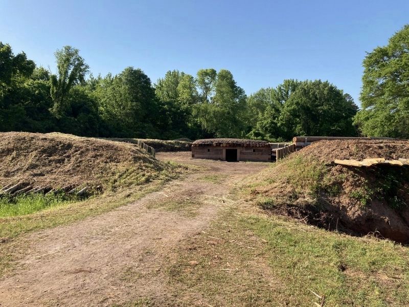
3. Southeast Redoubt
Credits. This page was last revised on March 26, 2025. It was originally submitted on October 17, 2009, by Stanley and Terrie Howard of Greer, South Carolina. This page has been viewed 1,005 times since then and 23 times this year. Last updated on March 26, 2025, by Carl Gordon Moore Jr. of North East, Maryland. Photos: 1, 2. submitted on October 17, 2009, by Stanley and Terrie Howard of Greer, South Carolina. 3. submitted on April 21, 2023. • Bernard Fisher was the editor who published this page.
