Camden in Kershaw County, South Carolina — The American South (South Atlantic)
The First Town Square
Photographed by Yvonne Vaughn, April 16, 2023
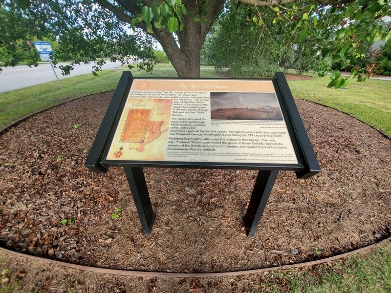
1. The First Town Square Marker
The square was used for many public gatherings. Militia musters, political rallies, and public ceremonies were all held in this space. Perhaps the most well recorded event was President George Washington's visit during his 1791 tour of the South.
President Washington addressed the citizens in this square. The next day, President Washington visited the grave of Baron DeKalb, viewed the remains of the British occupation of Camden, and toured both of Camden's Revolutionary War battlefields.
Erected by City of Camden.
Topics. This historical marker is listed in this topic list: Notable Places.
Location. 34° 14.201′ N, 80° 36.358′ W. Marker is in Camden, South Carolina, in Kershaw County. It is at the intersection of Broad Street
this page online

Regionally, this marker is in the Midlands and in the Olde English District. It is also in the American South and specifically in the Deep South. Globally, it is in North America, the Western Hemisphere, the Western World, and the Anglosphere. Historically, it finds itself in what was once the territory of the Mississippian Culture, one of the original Thirteen Colonies, one of the Confederate States of America, and the Antebellum South.
Other nearby markers. At least 8 other markers are within walking distance of this marker: Colonel Joseph Kershaw's Tomb (about 400 feet away, measured in a direct line); Old Camden Courthouse and Gaol (approx. 0.2 miles away); The Robert Mills Courthouse (approx. 0.2 miles away); The Old Jail and Town Market (approx. 0.2 miles away); Gaol (approx. 0.2 miles away); The Common (approx. 0.2 miles away); Women in the Revolution (approx.
Photographed by Yvonne Vaughn, April 16, 2023
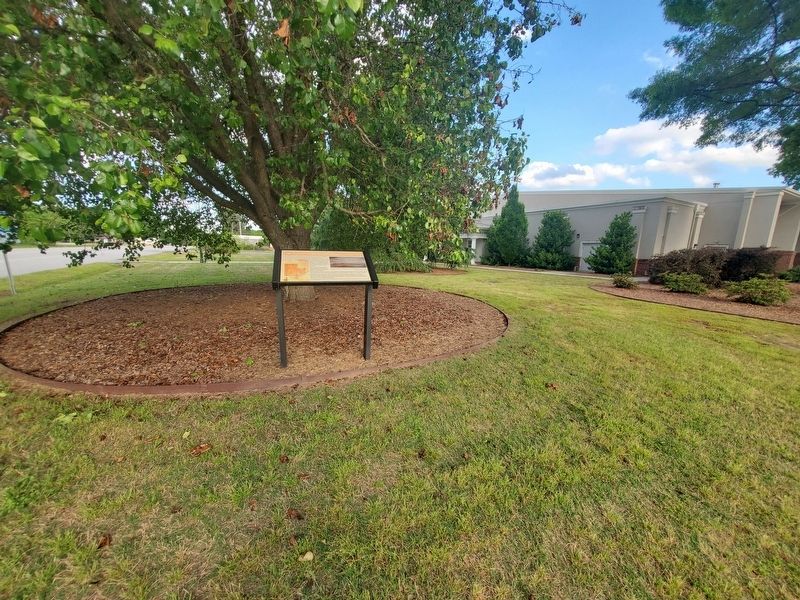
2. The First Town Square Marker
Credits. This page was last revised on March 27, 2025. It was originally submitted on April 17, 2023, by Yvonne Vaughn of Elgin, South Carolina. This page has been viewed 400 times since then and 20 times this year. Last updated on March 26, 2025, by Carl Gordon Moore Jr. of North East, Maryland. Photos: 1, 2. submitted on April 17, 2023, by Yvonne Vaughn of Elgin, South Carolina. • Bernard Fisher was the editor who published this page.
