Henderson in Rusk County, Texas — The American South (West South Central)
Oil Industry

Photographed by James Hulse, March 17, 2025
1. Oil Industry Marker
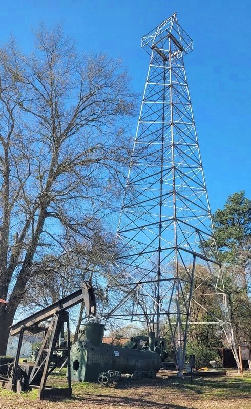
The original derricks of the 1930's were made of wood. Later metal was used. From 1945-1980 derricks and rigs drilled to the Pettit and Travis Peak Formations, 7,000-8,000 ft. deep. 1980-2001 wells were drilled to the Cotton Valley formation at 10,000 ft. and Lime Formation at 12,000 ft. The Railroad Commission of Texas reported that from 1939 to 2001, 41,836 wells have been drilled in District 6, which includes Rusk County.
The oil derrick was donated by Mustang Drilling, Ltd and the pumping jack donated by T.L. Churchman.
Erected by Rusk
this page online
Topics. This historical marker is listed in this topic list: Industry & Commerce. A significant historical date for this entry is October 3, 1930.
Location. 32° 9.529′ N, 94° 47.699′ W. Marker is in Henderson, Texas, in Rusk County. It is at the intersection of North High Street and Waskom St on North High Street. The marker is located on the grounds of the Depot Museum. Touch for map. Marker is at or near this postal address: 514 N High St, Henderson TX 75652, United States of America. Touch for directions.

Regionally, this marker is in the American South, specifically in the Deep South, and in the Piney Woods. Globally, it is in North America, a Gulf of Mexico state, the Western Hemisphere, the Western World, and the Anglosphere. Historically, it finds itself in what was once New Spain, the Republic of Texas, one of the Confederate States of America, and the Antebellum South.
Other nearby markers. At least 8 other markers are within walking distance of this marker: Rusk County Agriculture (here, next to this marker); Arnold Outhouse (a few steps from this marker); Susan Weaver (a few steps from this
Photographed by James Hulse, March 17, 2025
2. Oil Industry Marker and metal derrick

Photographed by James Hulse, March 17, 2025
3. The Oil Industry Marker and steam boiler
Photographed by James Hulse, March 17, 2025
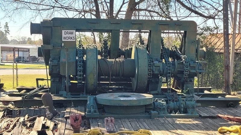
4. Cable system for the Oil Industry
Credits. This page was last revised on March 28, 2025. It was originally submitted on March 27, 2025, by James Hulse of Medina, Texas. This page has been viewed 176 times since then and 21 times this year. Photos: 1, 2, 3. submitted on March 27, 2025, by James Hulse of Medina, Texas. 4. submitted on March 28, 2025, by James Hulse of Medina, Texas.
