
Jacksonville in Cherokee County, Texas — The American South (West South Central)
Central Baptist Church of Jacksonville
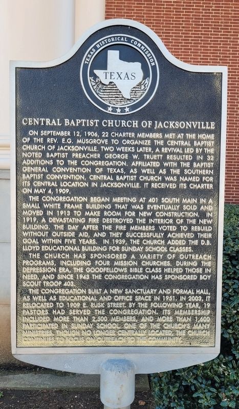
Photographed by James Hulse, March 17, 2025
1. Central Baptist Church of Jacksonville Marker
The congregation began meeting at 401 South Main in a small white frame building that was eventually sold and moved in 1913 to make room for new construction. In 1919, a devastating fire destroyed the interior of the new building, the day after the fire members voted to rebuild without outside aid, and they successfully achieved their goal within five years. In 1939, the church added the D.B. Lloyd Educational Building for Sunday school classes.
The church has sponsored a variety of outreach programs, including four mission churches, during the Depression Era, the Goodfellows Bible Class helped those in need, and since 1943 the congregation has sponsored Boy Scout Troop 403.
The congregation built a new sanctuary and formal hall, as well as educational and office space in 1951. In 2003, it relocated to 1909 E. Rusk Street. By the following year, 19 pastors had served the congregation. Its membership included more than than 2,500 members, and more than 1,600 participated in Sunday school, one of the church's many ministries. Though no longer centrally located, the church continues to focus on outreach to the community.
Erected 2004 by Texas Historical Commission. (Marker Number 13101.)
Topics. This historical marker is listed in this topic list: Religion & Religious Structures. A significant historical date for this entry is May 4, 1909.
Location. 31° 58.126′ N,
this page online

Regionally, this marker is in the American South, specifically in the Deep South, and in the Piney Woods. Globally, it is in North America, a Gulf of Mexico state, the Western Hemisphere, the Western World, and the Anglosphere. Historically, it finds itself in what was once New Spain, the Republic of Texas, one of the Confederate States of America, and the Antebellum South.
Other nearby markers. At least 8 other markers are within 3 miles of this marker, measured as the crow flies: First Baptist Church (approx. 0.8 miles away); John Wesley Love Home (approx. 1.7 miles away); Jacksonville Independent School District (approx. 1.9 miles away); Site of First Free Public School (approx. 1.9 miles away); First United Methodist Church of Jacksonville
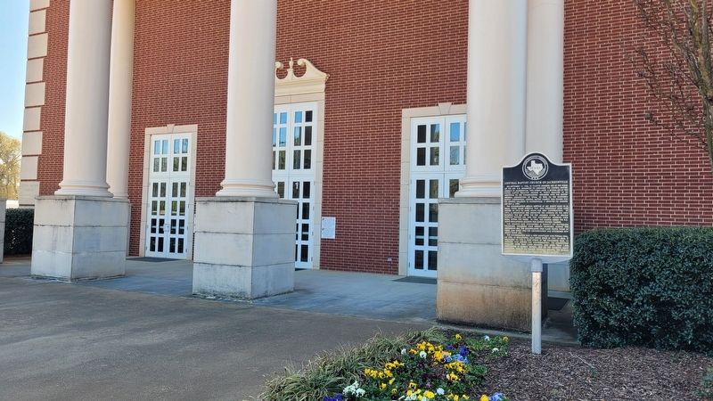
Photographed by James Hulse, March 17, 2025
2. Central Baptist Church of Jacksonville and Marker
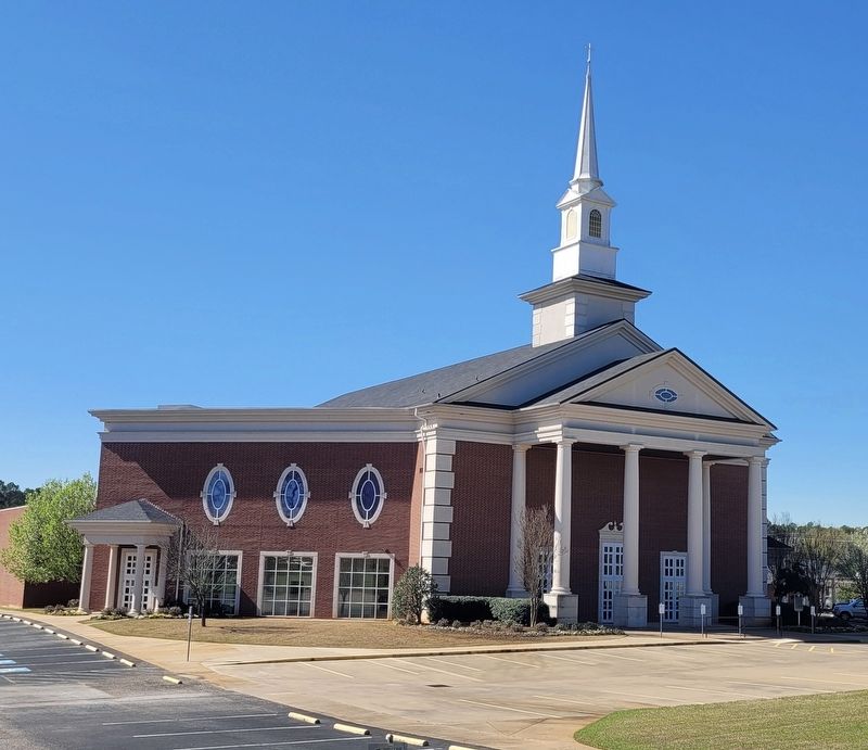
Photographed by James Hulse, March 17, 2025
3. Central Baptist Church of Jacksonville
Credits. This page was last revised on March 30, 2025. It was originally submitted on March 29, 2025, by James Hulse of Medina, Texas. This page has been viewed 152 times since then and 37 times this year. Photos: 1, 2, 3. submitted on March 30, 2025, by James Hulse of Medina, Texas.
