Eucalyptus in El Paso in El Paso County, Texas — The American South (West South Central)
Site of the First Fort Bliss
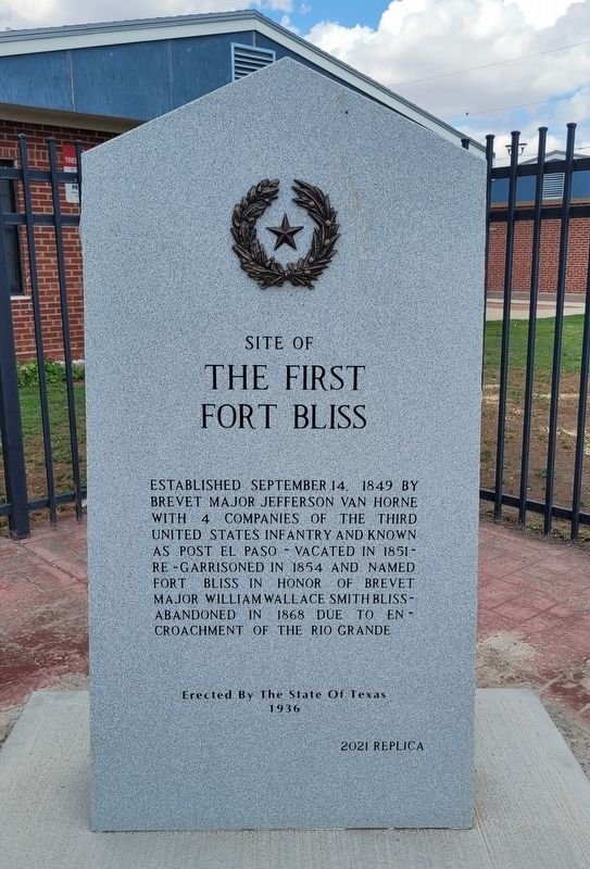
Photographed by James Hulse, July 22, 2024
1. Site of the First Fort Bliss Marker
2021 Replica
Erected 2021 by State of Texas. (Marker Number 4929.)
Topics and series. This historical marker is listed in this topic list: Forts and Castles. In addition, it is included in the Texas 1936 Centennial Markers and Monuments series list. A significant historical date for this entry is September 14, 1849.
Location. 31° 46.127′ N, 106° 27.972′ W. Marker is in El Paso, Texas, in El Paso County. It is in Eucalyptus. It is at the intersection of North Eucalyptus Street and Magoffin Avenue, on the left when traveling south on North Eucalyptus Street. The marker is located at the corner of the intersection. Touch for map. Marker is at or near this postal address: 2000 Magoffin Ave, El Paso TX 79901, United States of America. Touch for directions.

Regionally, this marker is in the Trans-Pecos & Big Bend Region. It is also in the American Borderlands and in the Southwest. Globally, it is in North America, a Gulf of Mexico state, the Western Hemisphere, the Western World, and the Anglosphere. Historically, it finds itself in what was once New Spain, the Republic of Texas, and one of the Confederate States of America.
Other nearby markers. At least 8 other markers are within walking distance of this marker: Magoffinsville and Fort Bliss (1849-1868) (about 700 feet away, measured in a direct line); Douglass High School (about 700 feet away); Guardian Angel Church (approx. 0.6 miles away); Defining A Border (approx. 0.6 miles away); Nuestra Herencia, Our Shared Heritage: (approx. 0.7 miles
this page online
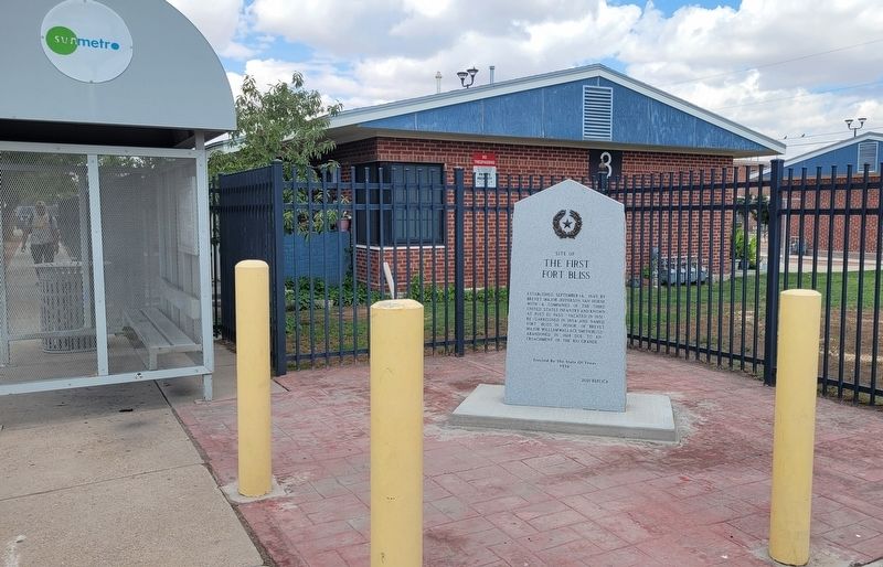
Photographed by James Hulse, July 22, 2024
2. Site of the First Fort Bliss Marker
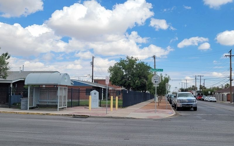
Photographed by James Hulse
3. The view of the Marker along the street
Credits. This page was last revised on March 31, 2025. It was originally submitted on July 25, 2024, by James Hulse of Medina, Texas. This page has been viewed 337 times since then and 50 times this year. Last updated on March 29, 2025, by Jeff Leichsenring of Garland, Texas. Photos: 1, 2, 3. submitted on July 27, 2024, by James Hulse of Medina, Texas.
