Salvisa in Mercer County, Kentucky — The American South (East South Central)
Thomas Cleland
⎯⎯⎯
New Providence Presbyterian Church
Photographed by Mark Parker, March 28, 2025
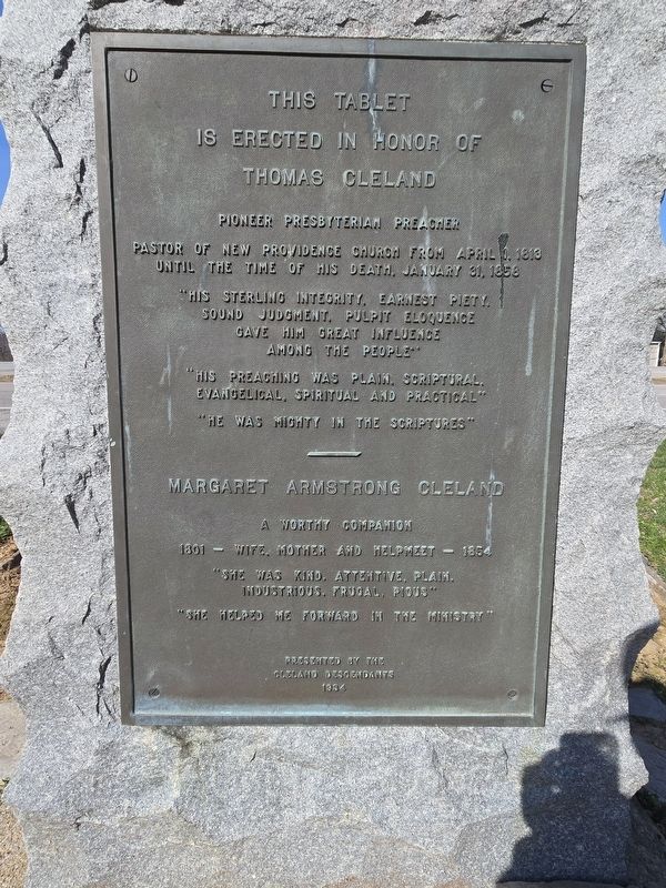
1. Thomas Cleland side of marker
(East side)
This tablet is erected in honor of Thomas Cleland
Pioneer Presbyterian Preacher
Pastor of New Providence Church from April 1, 1813 until the time of his death, January 31, 1858
"His sterling integrity, earnest piety, sound judgment, pulpit eloquence gave him great influence among the people."
"His preaching was plain, scriptural, evangelical, spiritual and practical"
"He was mighty in the scriptures"
Margaret Armstrong Cleland
A worthy companion
1801 - Wife, Mother and helpmeet - 1854
"She was kind, attentive, plain, industrious, frugal, pious"
"She helped me forward in the ministry"
(West side)
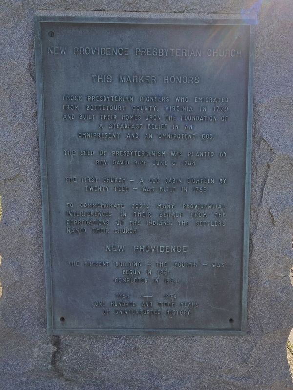
This marker honors
Those Presbyterian pioneers who emigrated trom Bottetourt County, Virginia in 1779 and built their homes upon the foundation of a steadfast belief in an omnipresent and an omnipotent God.
The seed of Presbyterianism was planted by Rev. David Rice June 6, 1784.
th The first church - a log cabin eighteen by twenty feet - was built in 1785.
To commemorate God's many providential interferences in their behalf from the depredations of the Indians, the settlers named
this page online
New Providence
The present building - the fourth - was begun in 1861 completed in 1864
1784-1934
One hundred and fifty years of uninterrupted history
Erected 1934 by Cleland Descendants.
Topics. This historical marker is listed in these topic lists: Religion & Religious Structures • Settlements & Settlers. A significant historical year for this entry is 1784.
Location. 37° 51.892′ N, 84° 51.18′ W. Marker is in Salvisa, Kentucky, in Mercer County. It is at the intersection of Louisville Road (U.S. 127) and Cummins Ferry Road, on the right when traveling north on Louisville Road. Touch for map. Marker is at or near this postal address: 3301 Louisville Rd, Salvisa KY 40372, United States of America. Touch for directions.

Regionally, this marker is in the Bluegrass Region. It is also in the American South and specifically in the Upper South. Globally, it is in North America, the Western Hemisphere, the Western World, and the Anglosphere. Historically, it finds itself in what was once the territory of the Mississippian Culture and also the Antebellum South.
Other nearby markers. At least 8 other
Photographed by Mark Parker, March 28, 2025
2. New Providence Presbyterian Church side of marker
Photographed by Mark Parker, March 28, 2025
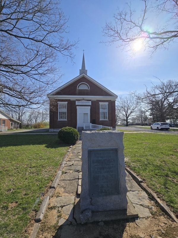
3. Thomas Cleland / New Providence Presbyterian Church looking towards New Providence Presbyterian
Photographed by Mark Parker, March 28, 2025
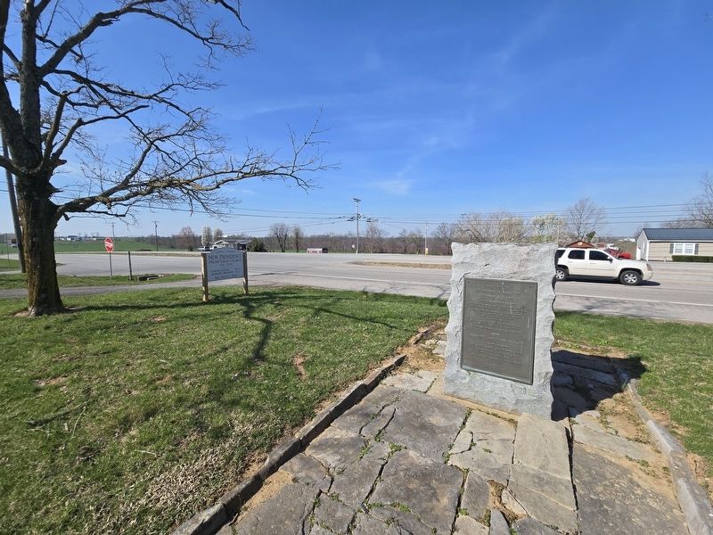
4. Thomas Cleland / New Providence Presbyterian Church Marker overlooking Louisville Rd.
Credits. This page was last revised on April 10, 2025. It was originally submitted on March 29, 2025, by Mark Parker of Hickory, North Carolina. This page has been viewed 154 times since then and 30 times this year. Photos: 1, 2, 3, 4. submitted on March 29, 2025, by Mark Parker of Hickory, North Carolina. • Andrew Ruppenstein was the editor who published this page.
