North White Plains in North Castle in Westchester County, New York — The American Northeast (Mid-Atlantic)
Miller Hill
Photographed by David Feibusch
1. Miller Hill Marker
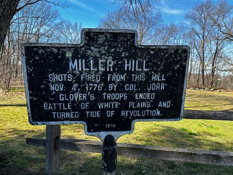
Shots fired from this hill Nov. 4, 1776 by Col. John Glover's troops ended Battle of White Plains and turned tide of revolution.
Erected 1976 by Town of North Castle.
Topics. This memorial is listed in this topic list: War, US Revolutionary. A significant historical date for this entry is November 4, 1776.
Location. 41° 3.418′ N, 73° 46.091′ W. Memorial is in North Castle, New York, in Westchester County. It is in North White Plains. It is at the intersection of Dunlap Way and Smallwood Place, on the left when traveling west on Dunlap Way. Located in Miller Hill Park. Touch for map. Memorial is at or near this postal address: 77 McDougal Dr, White Plains NY 10603, United States of America. Touch for directions.

Regionally, this memorial is in the Hudson Valley and in the New York City Metropolitan Area. It is also in the American Northeast, in the Mid-Atlantic, and on the Eastern Seaboard. Globally, it is in the North Atlantic Region, North America, the Western Hemisphere, the Western World, and the Anglosphere. Historically, it finds itself in what was once New Netherland and also one of the original Thirteen Colonies.
this page online
Other nearby markers. At least 8 other markers are within 2 miles of this marker, measured as the crow flies: Miller Hill Battle Monument (here, next to this marker); Joseph T. Miller (about 800 feet away, measured in a direct line); North Castle World War II Monument (approx. 0.2 miles away); U.S. Soldiers and Sailors Memorial (approx. 0.7 miles away); American Red Cross in Westchester County (approx. 1.1 miles away); Nita M. Lowey Community Green (approx. 1.1 miles away); Center of Washington’s Army (approx. 1.1 miles away); Cuba Free (approx. 1.4 miles away). Touch for a list and map of all markers in North Castle.
Additional commentary.
1. Battle of White Plains
The last shots during the Battle of White Plains (October 28 to November 6, 1776) were fired by Col. John Glover's Patriot troops from atop Miller Hill ending the British advance and changing the course of the American Revolution. Gen. George Washington's troops set up earthwork fortifications atop Miller Hill and Mt. Misery which served as a lookout defensive post.
— Submitted March 31, 2025, by David Feibusch of White Plains, New York.

Photographed by David Feibusch
2. Miller Hill Marker
Credits. This page was last revised on July 14, 2025. It was originally submitted on May 16, 2024, by David Feibusch of White Plains, New York. This page has been viewed 1,460 times since then and 165 times this year. Last updated on March 30, 2025, by Sharon Tomback of North Castle, New York. Photos: 1. submitted on May 16, 2024, by David Feibusch of White Plains, New York. 2. submitted on April 2, 2025, by David Feibusch of White Plains, New York. • Devry Becker Jones was the editor who published this page.
Editor’s want-list for this marker. A wide view photo of the marker and its surroundings. • Can you help?
