
Little River in Horry County, South Carolina — The American South (South Atlantic)
Village of Little River
Photographed by J. J. Prats
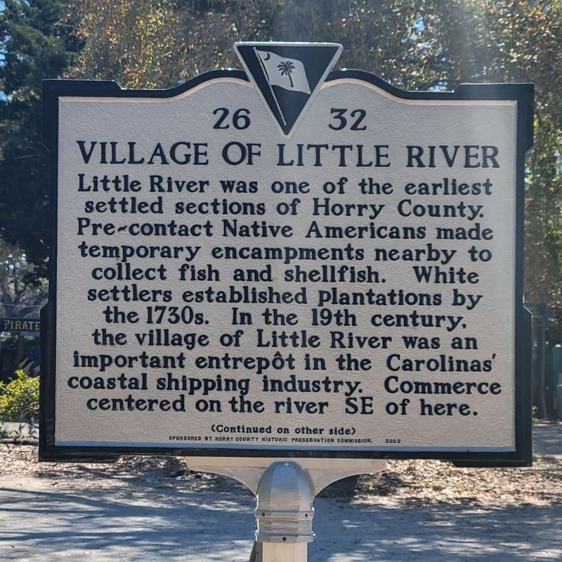
1. Village of Little River Marker, side one
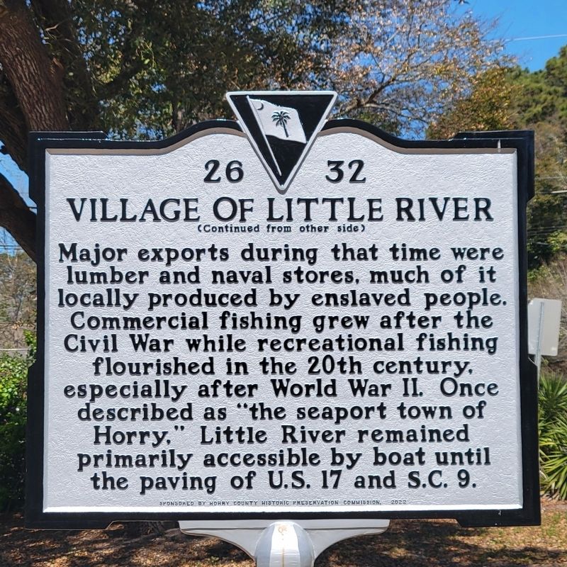
Major exports during that time were lumber and naval stores, much of it locally produced by enslaved people. Commercial fishing grew after the Civil War while recreational fishing flourished in the 20th century, especially after World War II. Once described as “the seaport town of Horry,” Little River remained primarily accessible by boat until the paving of U.S. 17 and S.C. 9.
Erected 2022 by Department of Archives and History. Sponsored by Horry County Historic Commission. (Marker Number 26-32.)
Topics. This historical marker is listed in this topic list: Settlements & Settlers.
Location. 33° 52.321′ N, 78° 36.647′ W. Marker is in Little River, South Carolina,
this page online

Regionally, this marker is on South Carolina’s Grand Strand and in the Pee Dee. It is also in the American South, specifically in the Deep South, and on the Eastern Seaboard. Globally, it is in the North Atlantic Region, North America, the Western Hemisphere, the Western World, and the Anglosphere. Historically, it finds itself in what was once the territory of the Mississippian Culture, one of the original Thirteen Colonies, one of the Confederate States of America, and the Antebellum South.
Other nearby markers. At least 8 other markers are within 4 miles of this marker, measured as the crow flies: Rev. George Whitefield (approx. 0.4 miles away); Rebecca Randall Bryan (approx. 0.4 miles away); Boundary House (approx. 1.6 miles away); South Carolina / North Carolina (approx. 1.9 miles away in North Carolina); First Post Road
Photographed by J. J. Prats
2. Village of Little River Marker, side two
Photographed by J. J. Prats, March 27, 2025
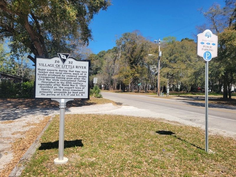
3. Village of Little River Marker
Credits. This page was last revised on March 31, 2025. It was originally submitted on March 30, 2025, by J. J. Prats of Powell, Ohio. This page has been viewed 350 times since then and 69 times this year. Photos: 1, 2, 3. submitted on March 30, 2025, by J. J. Prats of Powell, Ohio.
