Bisbee in Cochise County, Arizona — The American Mountains (Southwest)
Bisbee: Queen of the Copper Camps
Photographed by Ian Lefkowitz, September 2, 2022
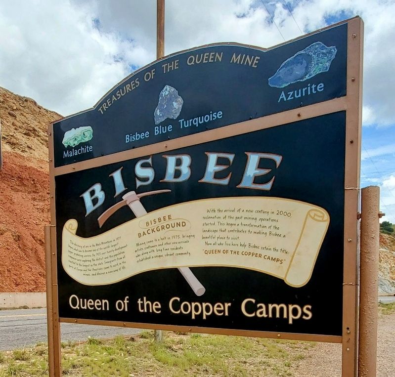
1. Bisbee: Queen of the Copper Camps Marker
Treasures of the Queen Mine
Malachite • Bisbee Blue Turquoise • Azurite
Bisbee Background
The discovery of ore in the Mule Mountains in 1877 began what was to become one of the world's largest copper producing centers. By 1905 over twenty development companies were exploring the district and the population swelled to the largest in the state. Immigrants from all parts of Europe and the Americas came to work in the mines and discover a new way of life.
Mining came to a halt in 1975, bringing artists, craftsmen and other new arrivals who along with long time residents established a unique vibrant community.
With the arrival of a new century in 2000, reclamation of the past mining operations started. This began a transformation of the landscape that contributes to making Bisbee a beautiful place to visit.
Now all who live here help Bisbee retain the title: "Queen of the Copper Camps."
Topics. This historical marker is listed in this topic list: Industry & Commerce. A significant historical year for this entry is 1877.
Location. 31° 26.166′ N, 109° 54.022′ W. Marker is in Bisbee, Arizona, in Cochise County. It is on State
this page online

Regionally, this marker is in the Sky Islands and in Southeastern Arizona. It is also in the American Borderlands and in the Southwest. Globally, it is in North America, the Western Hemisphere, the Western World, and the Anglosphere. Historically, it finds itself in what was once New Spain and also the Gadsden Purchase.
Other nearby markers. At least 8 other markers are within walking distance of this marker: The Lavender Pit (within shouting distance of this marker); Bisbee World War II Memorial (within shouting distance of this marker); How the Pit was Made (within shouting distance of this marker); Why dig the Pit? (within shouting distance of this marker); Viewing the Pit (within shouting distance of this marker); City of Bisbee Warrior Memorial (approx. ¾ mile away); The Importance of Copper Mining (approx. 0.8 miles away); Bisbee City Fire Hall (approx. 0.8 miles away). Touch for a list and map of all markers in Bisbee.
Photographed by Ian Lefkowitz, September 2, 2022
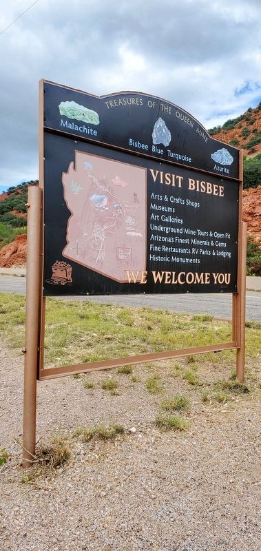
2. Bisbee: Queen of the Copper Camps Marker
The reverse side of the historic marker is a welcome sign with a map of Bisbee.

Photographed by Ian Lefkowitz, September 2, 2022
3. Bisbee: Queen of the Copper Camps Marker
The marker is opposite the highway along the Lavender Pit scenic turnout, set against the ruddy backdrop of the Mule Mountains.
Photographed by Ian Lefkowitz, September 2, 2022
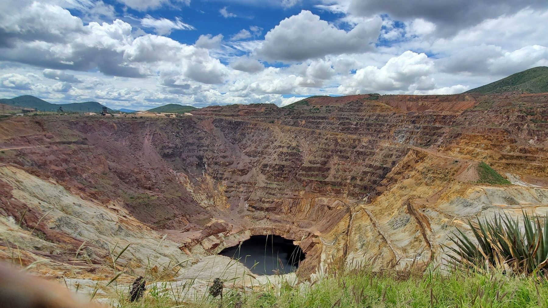
4. The Lavender Pit
Bisbee's abandoned open-pit mine is viewable from the scenic overlook that this historic marker indicates.
Credits. This page was last revised on May 19, 2025. It was originally submitted on March 30, 2025, by Ian Lefkowitz of New York, New York. This page has been viewed 216 times since then and 27 times this year. Photos: 1, 2, 3, 4. submitted on March 30, 2025, by Ian Lefkowitz of New York, New York. • Andrew Ruppenstein was the editor who published this page.
