Camden in Kershaw County, South Carolina — The American South (South Atlantic)
The British Evacuation
Photographed by Stanley and Terrie Howard, October 11, 2009
1. The British Evacuation Marker
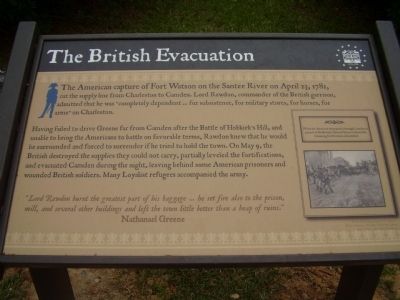
The American capture of Fort Watson on the Santee River on April 23, 1781, cut the supply line from Charleston to Camden. Lord Rawdon, commander of the British garrison, admitted that he was"completely dependent ... for subsistence, for military stores, for horses, for arms" on Charleston.
Having failed to drive Greene far from Camden after the Battle of Hobkirk's Hill, and unable to bring the Americans to battle on favorable terms, Rawdon knew that he would be surrounded and forced to surrender if he tried to hold the town. On May 9, the British destroyed the supplies they could not carry, partially leveled the fortifications, and evacuated Camden during the night, leaving behind some American prisoners and wounded British soldiers. Many Loyalist refugees accompanied the army.
"Lord Rawdon burnt the greatest part of his baggage... he set fire also to the prison, mill, and several other buildings and left the town little better than a heap of ruins."
Nathanael Greene
Topics. This historical marker is listed in this topic list: War, US Revolutionary. A significant historical date for this entry is April 23, 1781.
Location. 34° 14.01′ N, 80° 36.289′ W.
this page online

Regionally, this marker is in the Midlands and in the Olde English District. It is also in the American South and specifically in the Deep South. Globally, it is in North America, the Western Hemisphere, the Western World, and the Anglosphere. Historically, it finds itself in what was once the territory of the Mississippian Culture, one of the original Thirteen Colonies, one of the Confederate States of America, and the Antebellum South.
Other nearby markers. At least 8 other markers are within walking distance of this marker: Craven House (within shouting distance of this marker); Women in the Revolution (within shouting distance of this marker); Native Allies (within shouting distance of this marker); War in the Backcountry (within shouting distance of this marker); Bonds Conway (about 300 feet away, measured in a direct line); John McCaa House
Photographed by Bill Coughlin, November 5, 2017
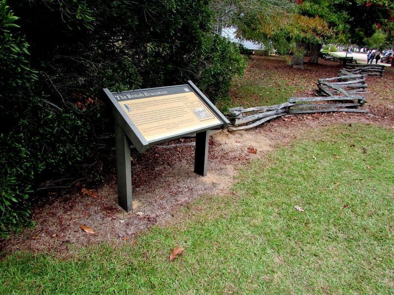
2. The British Evacuation Marker
Photographed by Bill Coughlin, November 5, 2017
3. Marker at Historic Camden
Credits. This page was last revised on March 31, 2025. It was originally submitted on October 17, 2009, by Stanley and Terrie Howard of Greer, South Carolina. This page has been viewed 1,075 times since then and 31 times this year. Last updated on March 31, 2025, by Carl Gordon Moore Jr. of North East, Maryland. Photos: 1. submitted on October 17, 2009, by Stanley and Terrie Howard of Greer, South Carolina. 2, 3. submitted on November 7, 2017, by Bill Coughlin of Woodland Park, New Jersey. • Devry Becker Jones was the editor who published this page.
