Near Whitney in Hill County, Texas — The American South (West South Central)
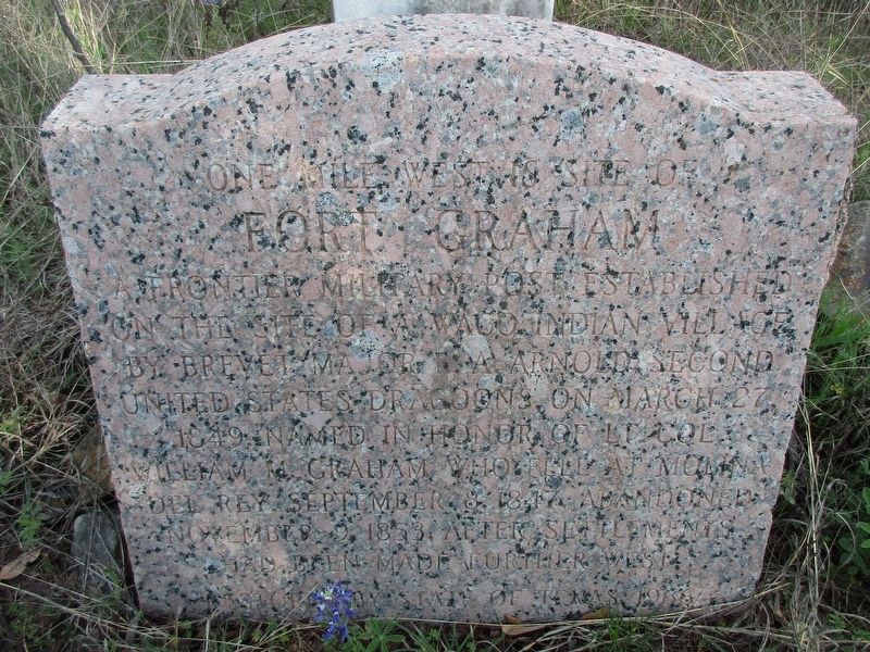
Fort Graham
One mile west is site of
Photographed by Jeff Leichsenring, March 31, 2025
1. Fort Graham Marker
Erected 1936 by State of Texas. (Marker Number 1984.)
Topics and series. This historical marker is listed in this topic list: Forts and Castles. In addition, it is included in the Texas 1936 Centennial Markers and Monuments series list. A significant historical date for this entry is March 27, 1849.
Location. 32° 0.177′ N, 97° 23.405′ W. Marker is near Whitney, Texas, in Hill County. It can be reached from the intersection of Cedar Hill Road and Tobacco Road. Touch for map. Marker is in this post office area: Whitney TX 76692, United States of America. Touch for directions.

Regionally, this marker is in the Prairies & Lakes Region. Globally, it is in North America, a Gulf of Mexico state, the Western Hemisphere, the Western World, and the Anglosphere. Historically, it finds itself in what was once
this page online
Other nearby markers. At least 8 other markers are within 6 miles of this marker, measured as the crow flies: Fort Graham Cemetery (approx. 2.7 miles away); Huron (approx. 3.1 miles away); Steiner Baptist Church (approx. 4.2 miles away); King Memorial United Methodist Church (approx. 5.2 miles away); Pleasant Hill Missionary Baptist Church (approx. 5.3 miles away); Bethlehem Cemetery (approx. 5.3 miles away); Boesch House (approx. 5.3 miles away); Whitney (approx. 5.4 miles away). Touch for a list and map of all markers in Whitney.
Photographed by Jeff Leichsenring, March 31, 2025
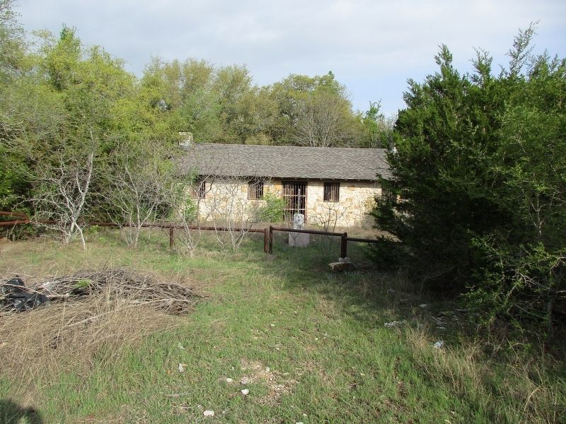
2. Fort Graham Marker

Photographed by Jeff Leichsenring, March 31, 2025
3. Fort Graham Marker
Credits. This page was last revised on April 1, 2025. It was originally submitted on April 1, 2025, by Jeff Leichsenring of Garland, Texas. This page has been viewed 491 times since then and 144 times this year. Photos: 1, 2, 3. submitted on April 1, 2025, by Jeff Leichsenring of Garland, Texas. • James Hulse was the editor who published this page.
