Franklin Township in Scio in Harrison County, Ohio — The American Midwest (Great Lakes)
Tappan
| — | Tappan-Moravian Trail Scenic Byway Tappan | — |

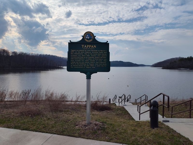
Photographed by Craig Doda, March 29, 2025
1. Tappan Marker
Erected 1998 by Scenic Byway Task Force.
Topics. This historical marker is listed in these topic lists: African Americans • Settlements & Settlers. A significant historical date for this entry is March 4, 1837.
Location. 40° 20.404′ N, 81° 11.856′ W. Marker is in Scio, Ohio, in Harrison County. It is in Franklin Township. It is on Cadiz-Dennison Road (U.S. 250) 0.1 miles north of North Bay Road, on the right when traveling south. Touch for map. Marker is at or near this postal address: 33305 Cadiz-Dennison Rd, Scio OH 43988, United States of America. Touch for directions.

Regionally, this marker is in the American Midwest,
this page online
Other nearby markers. At least 8 other markers are within 3 miles of this marker, measured as the crow flies: A different marker also named Tappan (approx. 1.1 miles away); The Seven Ranges (approx. 1.6 miles away); Tappan Dam (approx. 1.9 miles away); Mary L. Jobe Akeley / Harry F. Hazlett (approx. 2.2 miles away); Moravian House (approx. 2.3 miles away); Hazel's House (approx. 2.3 miles away); The Moravian Trail (approx. 2.3 miles away); Deersville (approx. 2.3 miles away).
Photographed by Craig Doda, March 29, 2025
2. Tappan Marker
Credits. This page was last revised on April 14, 2025. It was originally submitted on April 1, 2025, by Craig Doda of Napoleon, Ohio. This page has been viewed 138 times since then and 33 times this year. Photos: 1, 2. submitted on April 1, 2025, by Craig Doda of Napoleon, Ohio. • Devry Becker Jones was the editor who published this page.
