New Manchester in Hancock County, West Virginia — The American South (Appalachia)
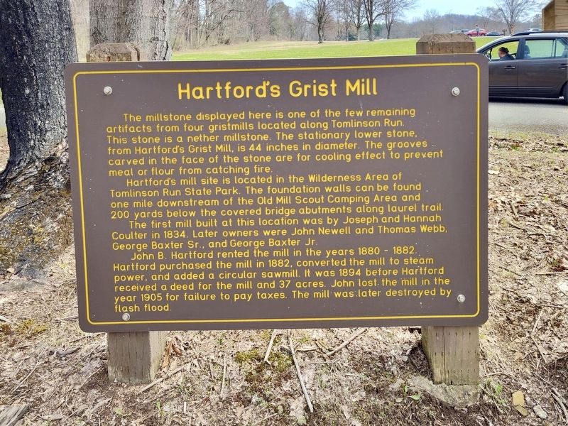
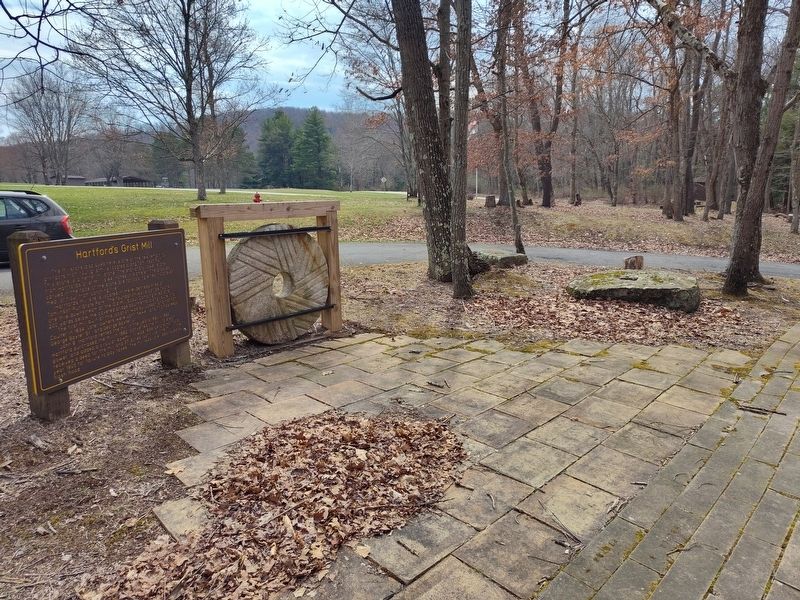
Hartford's Grist Mill
Photographed by Craig Doda, March 29, 2025
1. Hartford's Grist Mill Marker
Hartford's mill site is located in the Wilderness Area of Tomlinson Run State Park. The foundation walls can be found one mile downstream of the Old Mill Scout Camping Area and 200 yards below the covered bridge abutments along laurel trail.
The first mill built at this location was by Joseph and Hannah Coulter in 1834. Later owners were John Newell and Thomas Webb, George Baxter Sr., and George Baxter Jr.
John B. Hartford rented the mill in the years 1880-1882. Hartford purchased the mill in 1882, converted the mill to steam power, and added a circular sawmill. It was 1894 before Hartford received a deed for the mill and 37 acres. John lost the mill in the year 1905 for failure to pay taxes. The mill was later destroyed by flash flood.
Topics. This historical marker is
this page online
Location. 40° 32.464′ N, 80° 34.484′ W. Marker is in New Manchester, West Virginia, in Hancock County. It is at the intersection of Lawnview Drive and Pawanee Road, on the right when traveling north on Lawnview Drive. The marker is in Tomlinson Run State Park. Touch for map. Marker is at or near this postal address: 311 Lawnview Drive, New Cumberland WV 26047, United States of America. Touch for directions.

Regionally, this marker is in the Northern Panhandle and in the High Valley. It is also in the American South, specifically in the Upper South, in the Ohio River Valley, and in Appalachia. Globally, it is in North America, the Western Hemisphere, the Western World, and the Anglosphere. Historically, it finds itself in what was once the territory of the Mississippian Culture.
Other nearby markers. At least 8 other markers are within 4 miles of this marker, measured as the crow flies: Hartford's Mill (a few steps from this marker); Bicentennial Park (approx. 0.6 miles away); New Manchester Veterans Memorial (approx. 0.6 miles
Photographed by Craig Doda, March 29, 2025
2. Hartford's Grist Mill Marker
Credits. This page was last revised on April 10, 2025. It was originally submitted on April 2, 2025, by Craig Doda of Napoleon, Ohio. This page has been viewed 147 times since then and 35 times this year. Photos: 1, 2. submitted on April 2, 2025, by Craig Doda of Napoleon, Ohio. • Andrew Ruppenstein was the editor who published this page.
