The Bailey Bridge
⎯⎯⎯
Le Pont Bailey
Canadian Military Engineers Memorial
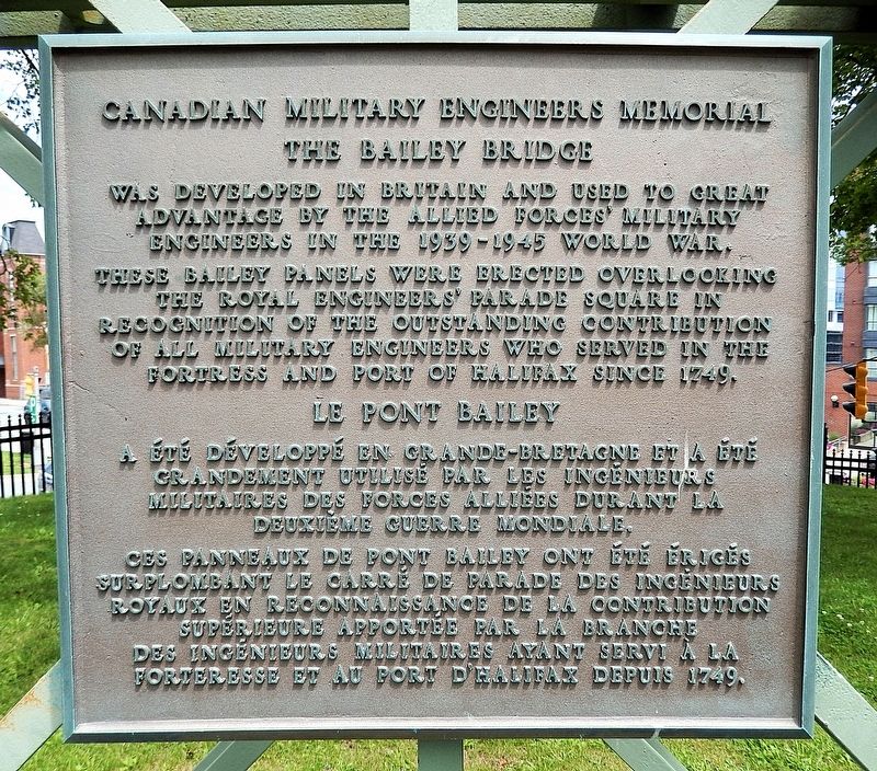

The Bailey Bridge was developed in Britain and used to great advantage by the Allied forces’ military engineers in the 1939-1945 World War.
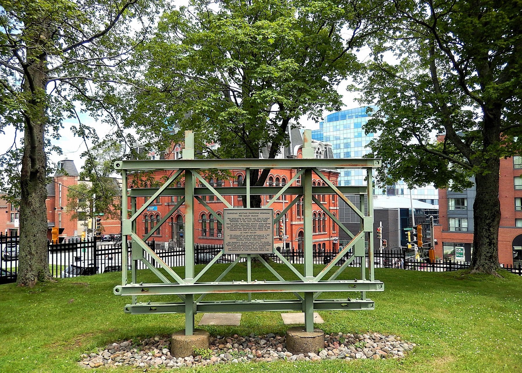
These Bailey panels were erected overlooking the Royal Engineers’ Parade Square in recognition of the outstanding contribution of all military engineers who served in the Fortress and Port of Halifax since 1749.
Le pont Bailey a été développé en Grande-Bretagne et a été grandement utilisé par les ingénieurs militaires des forces alliées durant la Deuxième Guerre mondiale.
Ces panneaux de pont Bailey ont été érigés surplombant le carré de parade des ingénieurs royaux en reconnaissance de la contribution supérieure apportée par la branche des ingénieurs militaires ayant servi à la forteresse et au port d'Halifax depuis 1749.
Topics. This historical marker is listed in these topic lists: Architecture • Bridges & Viaducts • Patriots & Patriotism • War, World II. A significant historical year for this entry is 1939.
Location. 44° 38.721′ N, 63° 34.584′ W. Marker is in Halifax, Nova Scotia, in Halifax Region. It is in Downtown Halifax. It can
this page online

Regionally, this marker is in the Maritimes and in Atlantic Canada. Globally, it is in the North Atlantic Region, North America, the Western Hemisphere, the Western World, and the Anglosphere. Historically, it finds itself in what was once a British colony, the Viceroyalty of New France, and Acadia.
Other nearby markers. At least 8 other markers are within walking distance of this marker: The Presbyterian Church of Saint David (about 180 meters away, measured in a direct line); Philippe Aubert de Gaspé (fils) (about 210 meters away); The Halifax Court House / Le Palais de Justice D'Halifax (approx. 0.3 kilometers away); Edmund Burke (approx. 0.3 kilometers away); St. Paul’s Church / Église St. Pauls (approx. 0.3 kilometers away); William Alexander Henry (approx. 0.3 kilometers away); Pierre Maillard
Also see . . .
1. Two Bailey Bridge Panels.
Excerpt: Two Bailey Bridge panels mounted on either side of a pair of I- beams, are located in the corner of Royal Artillery Park, closest to the site of the former Royal Engineers Square, downtown Halifax. Unveiled on 24 September 1995, they memorialize the Royal Engineer contribution to the founding of Halifax and the 250-year continuous presence of Military Engineers in that city.(Submitted on April 3, 2025, by Cosmos Mariner of Cape Canaveral, Florida.)
2. Bailey bridge (Wikipedia).
Excerpt: A Bailey bridge is a type of portable, pre-fabricated, truss bridge. It was developed in 1940–1941 by the British for military use during the Second World War and saw extensive use by British, Canadian and American military engineering units. A Bailey bridge has the advantages of requiring no special tools or heavy equipment to assemble. The wood and steel bridge elements were small and light enough to be carried in trucks and lifted into place by hand, without the use of a crane. These bridges were strong enough to carry tanks. Bailey bridges continue to be used extensively in civil engineering construction projects and to provide temporary crossings for pedestrian and vehicle traffic.(Submitted on April 3, 2025, by Cosmos Mariner of Cape Canaveral, Florida.)The Bailey provided a solution to the problem of German and Italian armies destroying bridges as they retreated. By the end of the war, the US Fifth Army and British 8th Army had built over 3,000 Bailey bridges in Sicily and Italy alone, totaling over 55 miles of bridge, at an average length of 100 feet. A Bailey Bridge constructed over the River Rhine at Rees, Germany, in 1945 by the Royal Canadian Engineers was named "Blackfriars Bridge", and, at 1814 ft including the ramps at each end, was then the longest Bailey bridge ever constructed. In all, over 600 firms were involved in the making of over 200 miles of bridges composing of 500,000 tons, or 700,000 panels of bridging during the war. At least 2,500 Bailey bridges were built in Italy, and another 2,000 elsewhere.
Credits. This page was last revised on October 22, 2025. It was originally submitted on April 3, 2025, by Cosmos Mariner of Cape Canaveral, Florida. This page has been viewed 151 times since then and 20 times this year. Photos: 1, 2. submitted on April 3, 2025, by Cosmos Mariner of Cape Canaveral, Florida.
