
Lower Doon in Kitchener in Waterloo Region, Ontario — Central Canada (North America)
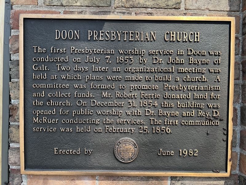
Doon Presbyterian Church
Photographed by Tim Boyd, April 4, 2025
1. Don Presbyterian Church Marker
Erected 1982 by Waterloo Historical Society.
Topics. This historical marker is listed in these topic lists: Religion & Religious Structures • Settlements & Settlers. A significant historical date for this entry is July 7, 1853.
Location. 43° 23.716′ N, 80° 25.033′ W. Marker is in Kitchener, Ontario, in Waterloo Region. It is in Lower Doon. It is on Chalmers Street near Roos Street, on the right when traveling west. Touch for map. Marker is at or near this postal address: 35 Roos Street, Kitchener ON N2P N2P, Canada. Touch for directions.

Regionally, this marker is in the Huron-Perth-Waterloo-Wellington Area and in Southwestern
this page online
Other nearby markers. At least 8 other markers are within 2 kilometers of this marker, measured as the crow flies: Doon School of Fine Arts 1948-1966 (within shouting distance of this marker); Homer Ransford Watson (about 120 meters away, measured in a direct line); Waterloo Pioneer Memorial Tower (approx. 0.6 kilometers away); Waterloo Pioneers / Pionniers de Waterloo (approx. 0.6 kilometers away); Pioneer Tower West (approx. 0.6 kilometers away); Huron Road Crossroads at Bechtel’s Ford (approx. 1.4 kilometers away); Huron Road Bridge (approx. 1.6 kilometers away); The Huron Road (approx. 1.8 kilometers away). Touch for a list and map of all markers in Kitchener.
Also see . . . Kitchener church is older than Canada itself (Kitchener-Waterloo Record). (Submitted on April 4, 2025, by Tim Boyd of Hamilton, Ontario.)
Photographed by Tim Boyd, April 4, 2025
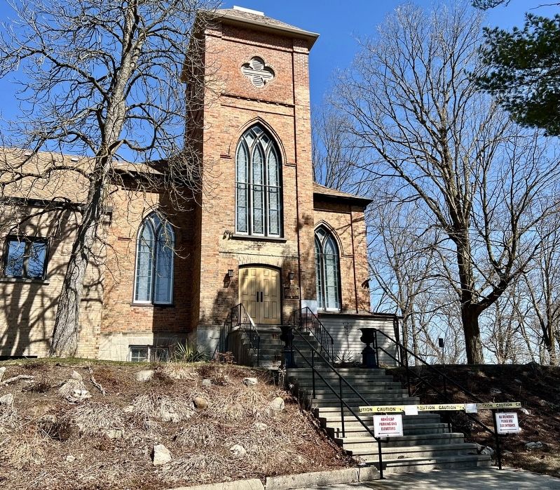
2. Don Presbyterian Church Marker
On the right of the doorway
Photographed by Tim Boyd, April 4, 2025
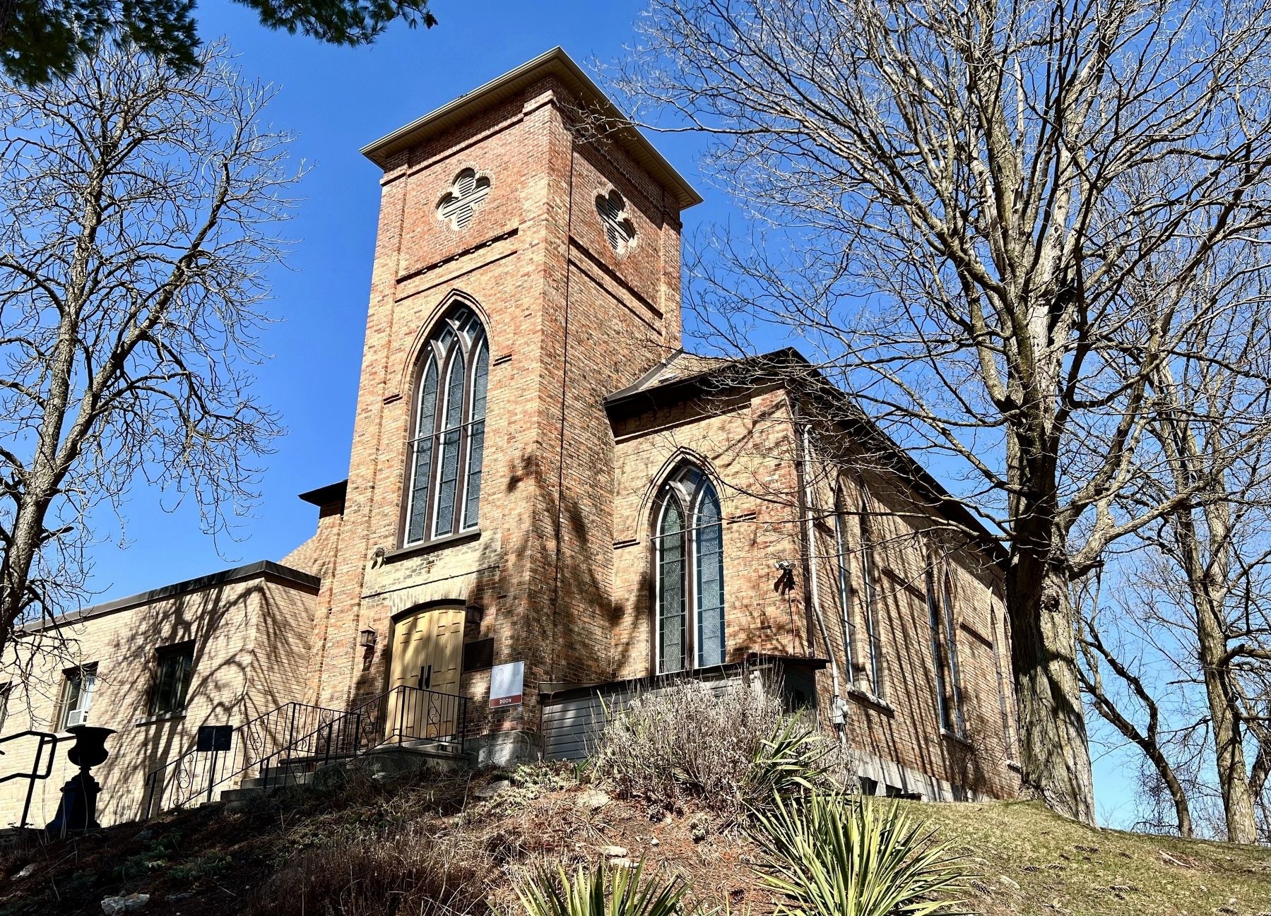
3. Doon Presbyterian Church
Credits. This page was last revised on April 5, 2025. It was originally submitted on April 4, 2025, by Tim Boyd of Hamilton, Ontario. This page has been viewed 118 times since then and 19 times this year. Photos: 1, 2, 3. submitted on April 4, 2025, by Tim Boyd of Hamilton, Ontario. • Andrew Ruppenstein was the editor who published this page.
