Harlingen in Cameron County, Texas — The American South (West South Central)
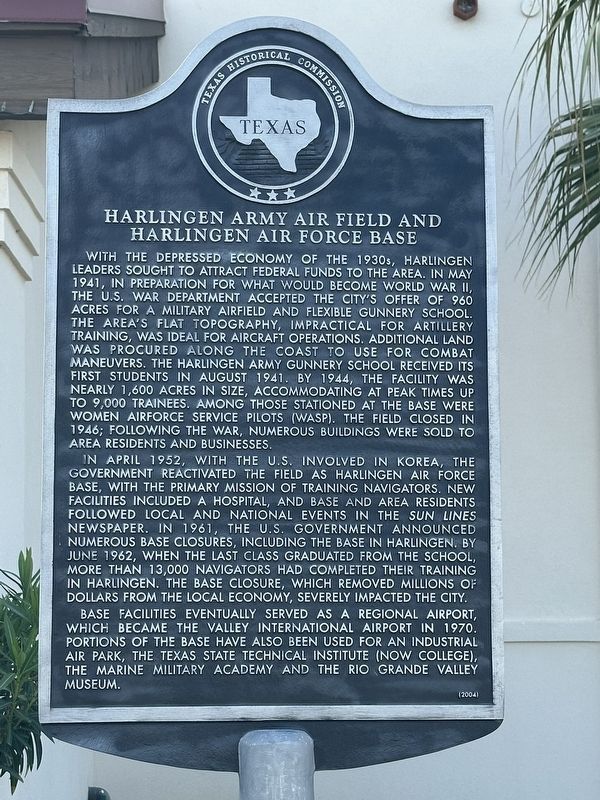
Harlingen Army Airfield and Harlingen Air Force Base
Photographed by Brian Anderson, March 24, 2025
1. Harlingen Army Airfield and Harlingen Air Force Base Marker
In April 1952, with the U.S. involved in Korea, the government reactivated the field as Harlingen Air Force Base, with the primary mission of training navigators. New facilities included a hospital, and base and area residents followed local and national events in the Sun Lines newspaper. In 1961, the U.S. government
this page online
Base facilities eventually served as a regional airport, which became the Valley International Airport in 1970. Portions of the base have also been used for an industrial air park, the Texas State Technical Institute (now College), the Marine Military Academy and the Rio Grande Valley Museum.
Erected 2004 by Texas Historical Commission. (Marker Number 12951.)
Topics. This historical marker is listed in these topic lists: Air & Space • War, World II. A significant historical month for this entry is May 1941.
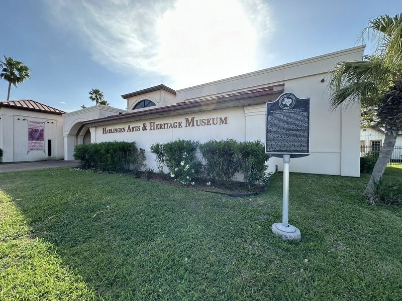
Location. 26° 13.016′ N, 97° 40.03′ W. Marker is in Harlingen, Texas, in Cameron County. It is at the intersection of Boxwood Street and Raintree Street, on the right when traveling south on Boxwood Street. Touch for map. Marker is at or near this postal address: 2425 Boxwood Street, Harlingen TX 78550, United States of America.
Photographed by Brian Anderson, March 24, 2025
2. Harlingen Army Airfield and Harlingen Air Force Base Marker

Regionally, this marker is in South Texas. It is also in the American Borderlands, in the South, and on the Gulf Coast. Globally, it is in North America, a Gulf of Mexico state, the Western Hemisphere, the Western World, and the Anglosphere. Historically, it finds itself in what was once New Spain, the Republic of Texas, and one of the Confederate States of America.
Other nearby markers. At least 8 other markers are within 3 miles of this marker, measured as the crow flies: Iraqi D-20 152mm Howitzer (approx. 0.4 miles away); Original Sam Houston School (approx. 2.2 miles away); First United Methodist Church of Harlingen (approx. 2.4 miles away); Howard E. and Mary Butt House (approx. 2.4 miles away); Lozano Plaza (approx. 2½ miles away); Planters State Bank (approx. 2½ miles away); City of Harlingen (approx. 2.6 miles away); Historic Harlingen (approx. 2.6 miles away). Touch for a list and map of all markers in Harlingen.
Also see . . . Harlingen Air Force Base - The Handbook of Texas Online. Texas State Historical Association (TSHA) (Submitted on April 5, 2025, by Brian Anderson of New Albany, Ohio.)
Credits. This page was last revised on April 5, 2025. It was originally submitted on April 5, 2025, by Brian Anderson of New Albany, Ohio. This page has been viewed 704 times since then and 201 times this year. Photos: 1, 2. submitted on April 5, 2025, by Brian Anderson of New Albany, Ohio.
