Pennsauken Township in Camden County, New Jersey — The American Northeast (Mid-Atlantic)
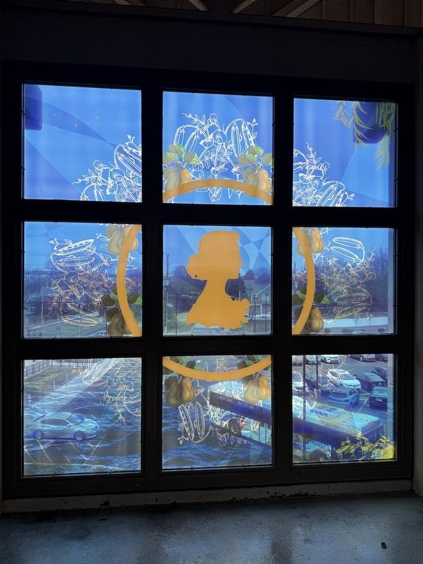
Where the Pennsauken Waters Flow
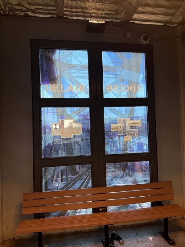
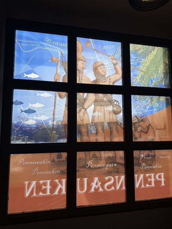
Digitally Printed Glass
| — | J. Kenneth Leap 2013 | — |
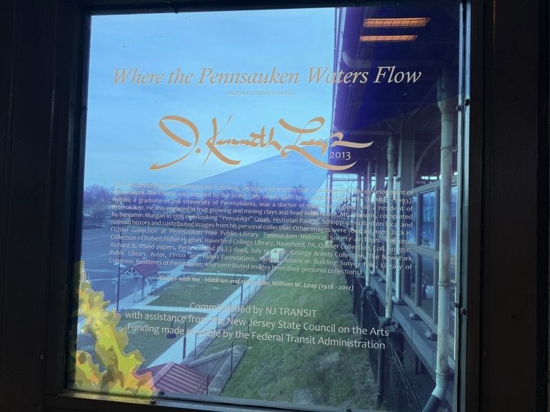
The artist gratefully acknowledges the following persons and entities that contributed to the development of this artwork. The theme was inspired by the poem "My Jersey Girl" by J. Dunbar Hylton Ph.D. (1837-1893). Hylton, a graduate of the University of Pennsylvania, was a doctor of medicine, a poet and a resident of Pennsauken. He also engaged in fruit growing and mining clays and lived in his house, Mt. Pleasant, completed by Benjamin Morgan in 1775 overlooking "Pensaukin" Creek. Historian Paul W. Schopp consulted on local and railroad history and contributed images from his personal collection. Other images were sourced from: Jack H. Fichter Collection at Pennsauken Free Public Library. Pennsauken Historical Society Archives. Personal Collection of Robert Fisher-Hughes. Haverford College Library, Haerford, PA, Quaker Collection, Coll. no. 950, Richard R. Wood papers, Petty's Island (N.J.) deed, July, 12, 1678. George Arents Collection, the New York Public Library, Astor, Lenox and Tilden Foundations. Historic American Building Survey files, Library of Congress. Residents of Pennsauken who contributed images from their
this page online
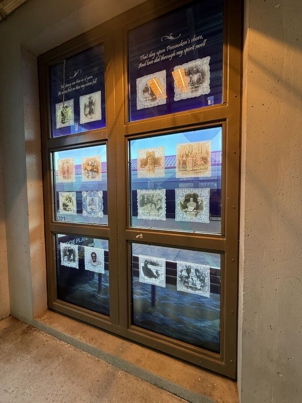
As when first on thee my vision fell
That day upon Pensauken's shore
And love did through my spirit swell
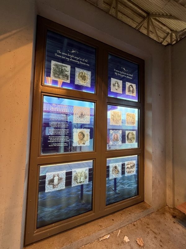
The same bright angel as of old,
From out my dreaming fancies rise.
It seems my fancies can behold
My Jersey girl no otherwise!
My Jersey Girl
My Jersey girl, my Jersey girl,
All bright and beautiful was she,
With ruby lips and teeth of pearl
And cheeks more fair than roses be.
I met her 'neath the willow tree,
Where the Pensauken waters flow,
I smiled at her, she blushed at me,
In ways that bashful lovers know;
I took her by her snowy hand
And plainly told her of my love,
And swiftly made her understand
I prized her all on earth above:
She smiled and hit her blushing face
'Neath branches of the willow tree,
But showed enough for me to trace
Her eyes all loving gazed at me.
Oh, sweet Pensauken's waters flow;
Lovely on his banks the roses bloom;
All stately there the lilies grow;
Violets give forth their sweet perfume.
- J. Dunbar Hylton M.D. 1884
Doctor, Poet, Pennsauken resident
To all persons whom these presents shall Come we Wesakesouscutte, Pensakenen, Colehickaim and Ojerekqua owners of the greatest Island lying before Shaksemasen in the river Dewlaware for sixhundred gliders to us paid by Elizabeth Kinsey we doe herby Sell convey assure Confirm and make over to the said Elizabeth Kinsey and her heirs all the said Island be the quantity what it is reserving only to u[s] liberty of hunting, fishing and gitting takah[o] upon the same, promising as far as we can to save her hoggs from killing and her hay from burning, for which care she is to give us every year sixteen Muches of rum and sixteen muches of powder - and we doe by these present weighing - warrant the said Island to her and hers forever against us and against all p'sons. In conformation we subscribe oure hands an[d] seals the 12 of July 1678.
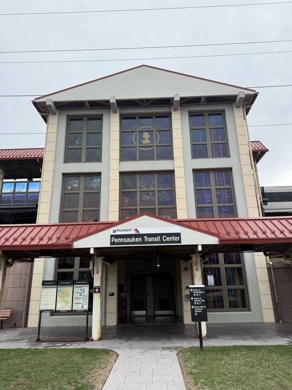
Erected 2012 by NJ Transit with assistance from the New Jersey State Council on the Arts; funding made possible by the Federal Transit Administration.
Topics. This historical marker is listed in these topic lists: Arts, Letters, Music • Railroads & Streetcars. A significant historical date for this entry is July 12, 1678.
Location. 39° 58.675′ N, 75° 3.716′ W. Marker is in Pennsauken Township, New Jersey, in Camden County. It can be reached from the intersection of Derousse

Regionally, this marker is in South Jersey and in Greater Philadelphia. It is also in the American Northeast, in the Mid-Atlantic, and on the Eastern Seaboard. Globally, it is in the North Atlantic Region, North America, the Western Hemisphere, the Western World, and the Anglosphere. Historically, it finds itself in what was once New Netherland and also one of the original Thirteen Colonies.
Other nearby markers. At least 8 other markers are within 2 miles of this marker, measured as the crow flies: Advancements in Electrified Railroads (approx. 1.4 miles away); Look Listen and Live (approx. 1½ miles away); Joseph Micholas (approx. 1½ miles away in Pennsylvania); World War I Memorial (approx. 1.6 miles away in Pennsylvania); Veterans Memorial (approx. 1.6 miles away in Pennsylvania); Corporal Michael J. Crescenz (approx. 1.8 miles
Credits. This page was last revised on April 6, 2025. It was originally submitted on April 5, 2025, by Devry Becker Jones of Washington, District of Columbia. This page has been viewed 141 times since then and 29 times this year. Photos: 1, 2, 3. submitted on April 5, 2025, by Devry Becker Jones of Washington, District of Columbia. 4, 5, 6, 7. submitted on April 6, 2025, by Devry Becker Jones of Washington, District of Columbia.
