Westmount in Kitchener in Waterloo Region, Ontario — Central Canada (North America)
Westmount
Photographed by Tim Boyd, April 4, 2025
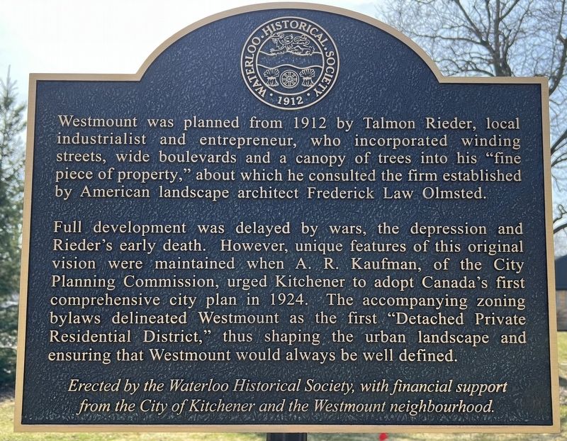
1. Westmount Marker
Westmount was planned from 1912 by Talmon Rieder, local industrialist and entrepreneur, who incorporated winding streets, wide boulevards and a canopy of trees into his "fine piece of property," about which he consulted the firm established by American landscape architect Frederick Law Olmsted.
Full development was delayed by wars, the depression and Rieder's early death. However, unique features of this original vision were maintained when A. R. Kaufman, of the City Planning Commission, urged Kitchener to adopt Canada's first comprehensive city plan in 1924. The accompanying zoning bylaws delineated Westmount as the first "Detached Private Residential District," thus shaping the urban landscape and ensuring that Westmount would always be well defined.
Erected by Waterloo Historical Society.
Topics. This historical marker is listed in this topic list: Notable Buildings. A significant historical year for this entry is 1912.
Location. 43° 27.208′ N, 80° 31.371′ W. Marker is in Kitchener, Ontario, in Waterloo Region. It is in Westmount. It is at the intersection of Dunbar Road and Union Boulevard, on the left when traveling
this page online

Regionally, this marker is in the Huron-Perth-Waterloo-Wellington Area and in Southwestern Ontario. It is also in Central Canada. Globally, it is in North America, the Western Hemisphere, the Western World, and the Anglosphere. Historically, it finds itself in what was once a British colony, the Viceroyalty of New France, the Haudenosaunee (Iroquois) Confederacy, and Rupert’s Land.
Other nearby markers. At least 8 other markers are within 3 kilometers of this marker, measured as the crow flies: Peter H. Roos (approx. 0.4 kilometers away); Mutual Life Head Office / Siège Social de la Mutuelle du Canada, Compagnie d'Assurance Sur la Vie (approx. 0.8 kilometers away); Kuntz/ Carling/ Labatt Breweries (approx. 0.9 kilometers away); Dominion Life Assurance Company (approx. 1.3 kilometers away); Log Schoolhouse (approx. 1.6 kilometers away); Abraham Erb (approx. 1.6 kilometers away); The One Hundredth Anniversary of the Incorporation of Waterloo as a Village (approx. 1.6 kilometers
Photographed by Tim Boyd, April 4, 2025
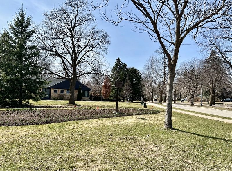
2. Westmount Marker
Also see . . . Westmount neighbourhood was Kitchener industrialist’s dream (Guelph Mercury article from 2011).
Rieder began buying farmland for the future neighbourhood in 1912 and with two partners formed the Westmount Improvement Co. He also sought the advice of Frederick Law Olmsted, the famed U.S. landscape architect who designed New York’s Central Park and the Mount Royal area of Montreal — and the Langdon Hall gardens in Blair, now part of Cambridge.(Submitted on April 6, 2025, by Tim Boyd of Hamilton, Ontario.)
Credits. This page was last revised on August 23, 2026. It was originally submitted on April 6, 2025, by Tim Boyd of Hamilton, Ontario. This page has been viewed 231 times since then and 54 times this year. Photos: 1, 2. submitted on April 6, 2025, by Tim Boyd of Hamilton, Ontario. • Andrew Ruppenstein was the editor who published this page.
