Santa Clara in Santa Clara County, California — The American West (Pacific Coastal)
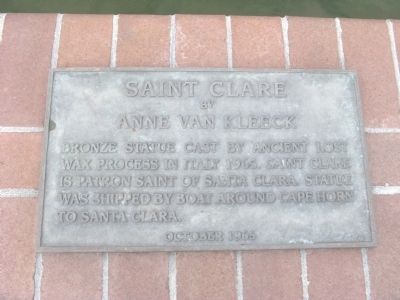
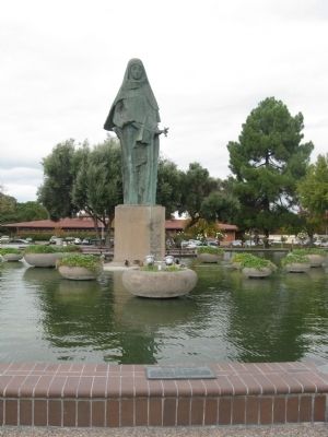
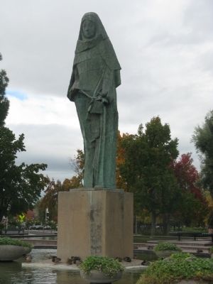
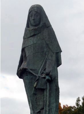
Saint Clare
by Anne Van Kleeck
Erected 1965.
Topics. This historical marker is listed in these topic lists: Arts, Letters, Music • Churches & Religion • Women. A significant historical year for this entry is 1965.
Location. 37° 21.167′ N, 121° 57.261′ W. Marker is in Santa Clara, California, in Santa Clara County. Marker is on El Camino Real, on the right when traveling north. Marker is located at the Civic Center Park. Touch for map. Marker is at or near this postal address: 1515 El Camino Real, Santa Clara CA 95050, United States of America. Touch for directions.
Other nearby markers. At least 8 other markers are within walking distance of this marker. Santa Clara Campaign Treaty Site (within shouting distance of this marker); De Anza Expedition 1775 – 1776 (within shouting distance of this marker); Armistice Oak Tree Site (within shouting distance of this marker); The Battle of Santa Clara (within shouting distance of this marker); Morgan House (approx. 0.2 miles away); John Fatjo House (approx. 0.2 miles away); Austen D. Warburton (approx. ¼ mile away); Headen-Inman House (approx. ¼ mile away). Touch for a list and map of all markers in Santa Clara.
Additional keywords. Saints
Credits. This page was last revised on October 23, 2019. It was originally submitted on January 29, 2010, by Syd Whittle of Mesa, Arizona. This page has been viewed 1,101 times since then and 16 times this year. Photos: 1, 2, 3, 4. submitted on January 29, 2010, by Syd Whittle of Mesa, Arizona.


