Bridgeport East in Kitchener in Waterloo Region, Ontario — Central Canada (North America)
Free Church and Cemetery
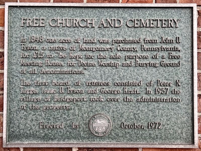
Photographed by Tim Boyd, April 4, 2025
1. Free Church and Cemetery Marker
The first board of trustees consisted of Peter N. Tagge, Isaac U. Tyson and George Kraft. In 1957 the village of Bridgeport, took over the administration of the property.
Erected 1972 by Waterloo Historical Society.
Topics. This historical marker is listed in these topic lists: Religion & Religious Structures • Settlements & Settlers. A significant historical year for this entry is 1848.
Location. 43° 28.948′ N, 80° 28.383′ W. Marker is in Kitchener, Ontario, in Waterloo Region. It is in Bridgeport East. It is on Bloomingdale Road North half a kilometer south of Bridge Street East, on the right when traveling north. Touch for map. Marker is at or near this postal address: 76 Bloomingdale Road N, Kitchener ON N2K 1A5, Canada. Touch for directions.

Regionally, this marker is in the Huron-Perth-Waterloo-Wellington Area and in Southwestern Ontario. It is also in Central Canada.
this page online
Other nearby markers. At least 8 other markers are within 5 kilometers of this marker, measured as the crow flies: William Lyon Mackenzie King (approx. 2.1 kilometers away); Woodside (approx. 2.1 kilometers away); Kitchener-Waterloo Municipal Airport (approx. 3.2 kilometers away); World Trade Center (approx. 3.3 kilometers away); William Lyon Mackenzie King, 1874-1950 (approx. 3.4 kilometers away); Waterloo County Registry Office (approx. 3.6 kilometers away); Waterloo County (approx. 3.6 kilometers away); St. Mary Our Lady of the Seven Sorrows Roman Catholic Parish (approx. 3.6 kilometers away). Touch for a list and map of all markers in Kitchener.
Also see . . . Bridgeport Free Church (Historicplaces.ca).
The Bridgeport Free Church is associated with all Christian denominations in Bridgeport and is believed to be the second oldest church in the Regional Municipality(Submitted on April 8, 2025, by Tim Boyd of Hamilton, Ontario.)of Waterloo. The land was sold to the trustees by John U. Tyson in 1848 for the purpose of establishing a Free Meeting House as a place of worship and burial ground for all denominations. Tyson, an early settler in the area, emigrated from Pennsylvania in 1833 and gave Bridgeport its name after having laid out the village on the east side of the Grand River.Photographed by Tim Boyd, April 4, 20252. Free Church and Cemetery Marker
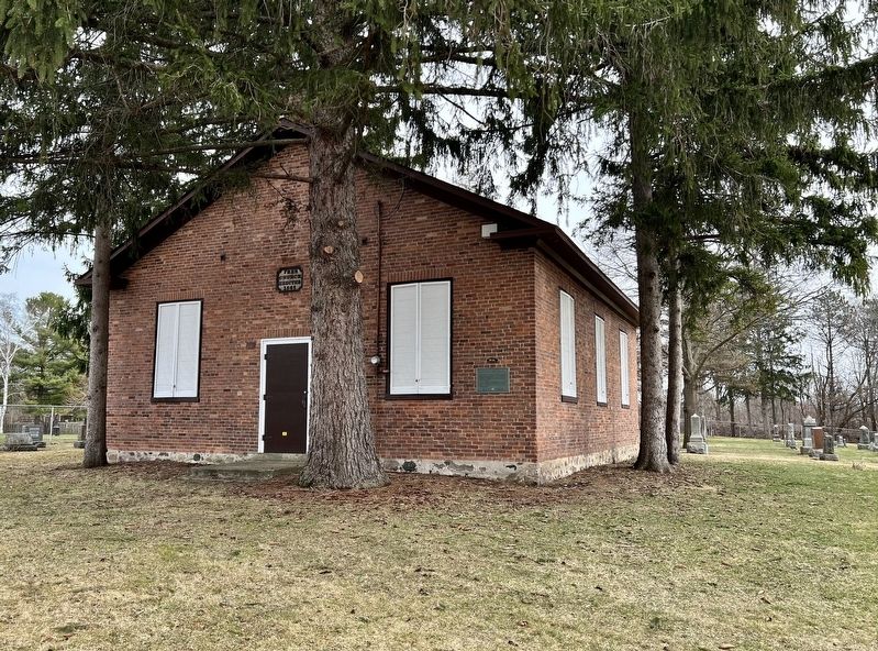
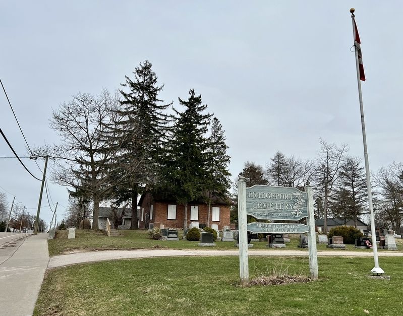
Photographed by Tim Boyd, April 4, 2025
3. Bridgeport Cemetery and free Church
Credits. This page was last revised on April 8, 2025. It was originally submitted on April 8, 2025, by Tim Boyd of Hamilton, Ontario. This page has been viewed 77 times since then and 15 times this year. Photos: 1, 2, 3. submitted on April 8, 2025, by Tim Boyd of Hamilton, Ontario. • Andrew Ruppenstein was the editor who published this page.
