Tekamah in Burt County, Nebraska — The American Midwest (Upper Plains)
Tekamah
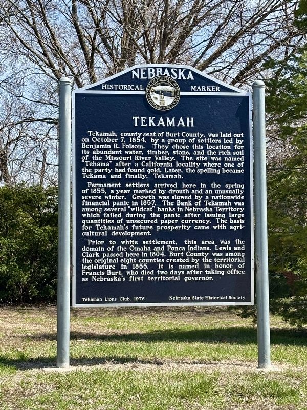
Photographed by Kris Morgan and James Schwartz, April 5, 2025
1. Tekamah Marker
Tekamah, county seat of Burt County, was laid out on October 7, 1854, by a group of settlers led by Benjamin R. Folsom. They chose this location for its abundant water, timber, stone, and the rich soil of the Missouri River Valley. The site was named "Tehama" after a California locality where one of the party had found gold. Later, the spelling became Tekama and finally, Tekamah.
Permanent settlers arrived here in the spring of 1855, a year marked by drouth and an unusually severe winter. Growth was slowed by a nationwide financial panic in 1857. The Bank of Tekamah was among several "wildcat" banks in Nebraska Territory which failed during the panic after issuing large quantities of unsecured paper currency. The basis for Tekamah's future prosperity came with agricultural development.
Prior to white settlement, this area was the domain of the Omaha and Ponca Indians. Lewis and Clark passed here in 1804. Burt County was among the original eight counties created by the territorial legislature in 1855. It is named in honor of Francis Burt, who died two days after taking office as Nebraska's first
this page online
Erected 1976 by Tekamah Lions Club, Nebraska State Historical Society. (Marker Number 198.)
Topics and series. This historical marker is listed in this topic list: Settlements & Settlers. In addition, it is included in the Nebraska State Historical Society series list. A significant historical date for this entry is October 7, 1854.
Location. 41° 46.575′ N, 96° 13.258′ W. Marker is in Tekamah, Nebraska, in Burt County. It is at the intersection of South 13th Street and K Street, on the right when traveling north on South 13th Street. Touch for map. Marker is at or near this postal address: 239 S 13th Street, Tekamah NE 68061, United States of America. Touch for directions.

Regionally, this marker is in Eastern Nebraska. It is also in the American Midwest, in the Lewis & Clark Corridor, in the Corn Belt, and on the prairies. Globally, it is in North America, the Western Hemisphere, the Western World, and the Anglosphere. Historically, it finds itself in what was once the Louisiana Purchase.
Other nearby markers. At least 2 other markers are within 14 miles of this marker, measured as the crow flies: Historical Facts of Burt County (approx. 0.2 miles away); Cuming City Cemetery and Nature Preserve (approx. 13.2 miles away).
Credits. This page was last revised on April 18, 2025. It was originally submitted on April 8, 2025, by Kris Morgan and James Schwartz of Omaha, Nebraska. This page has been viewed 182 times since then and 53 times this year. Photo 1. submitted on April 8, 2025, by Kris Morgan and James Schwartz of Omaha, Nebraska. • Andrew Ruppenstein was the editor who published this page.
