Cold Spring in Putnam County, New York — The American Northeast (Mid-Atlantic)
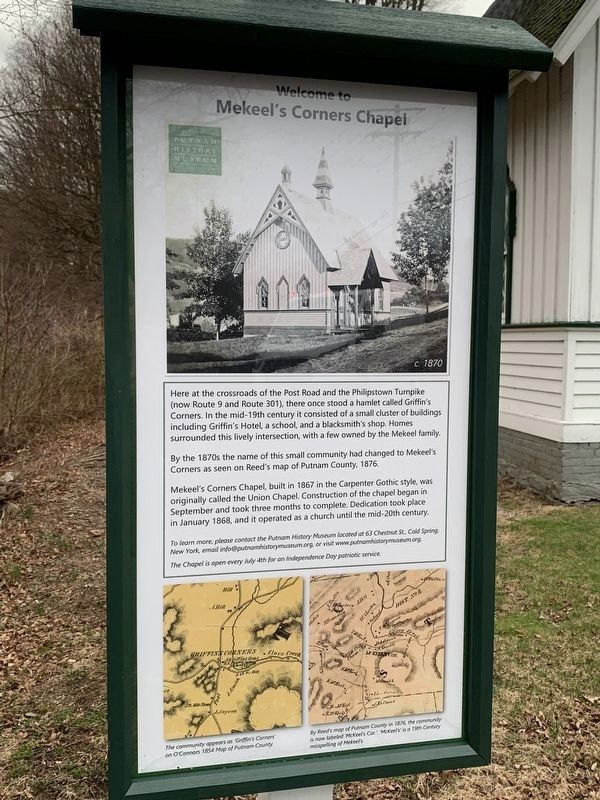
Welcome to Mekeel’s Corners Chapel
c. 1870
Photographed by Amy Cobb-mills, April 6, 2025
1. Mekeel’s Corners Chapel Marker
Here at the crossroads of the Post Road and the Philipstown Turnpike (now Route 9 and Route 301), there once stood a hamlet called Griffin's Corners. In the mid-19th century it consisted of a small cluster of buildings including Griffin's Hotel, a school, and a blacksmith's shop. Homes surrounded this lively intersection, with a few owned by the Mekeel family.
By the 1870s the name of this small community had changed to Mekeel's Corners as seen on Reed's map of Putnam County, 1876.
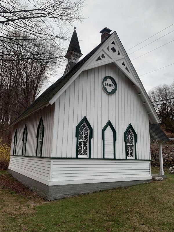
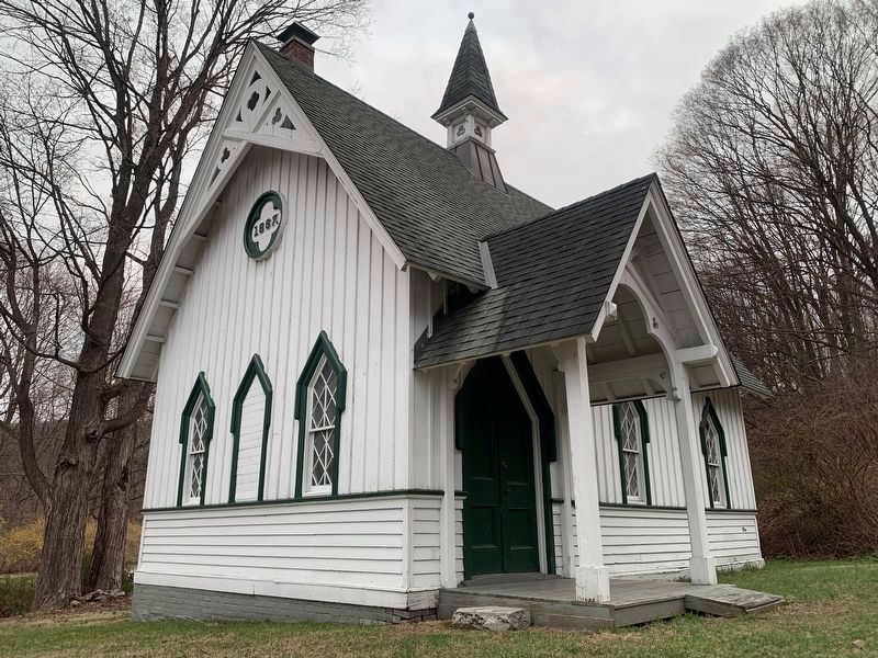
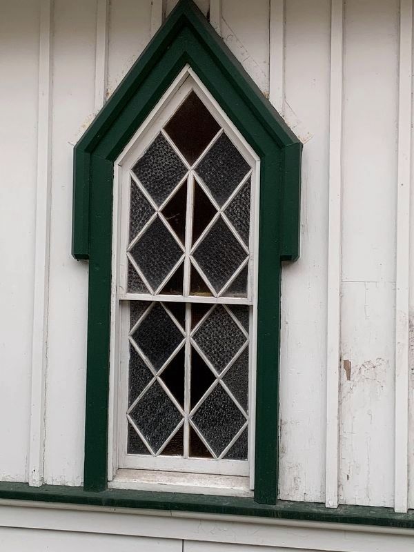
Mekeel's Corners Chapel, built in 1867 in the Carpenter Gothic style, was originally called the Union Chapel. Construction of the chapel began in 1 September and took three months to complete. Dedication took place in January 1868, and it operated as a church until the mid-20th century.
Erected 1870 by Putnam History Museum.
Topics. This historical marker is listed in these topic lists: Architecture • Religion & Religious Structures. A significant historical year for this entry is 1870.
Location. 41° 26.227′ N, 73° 54.969′ W. Marker is in Cold Spring, New York, in Putnam County. It can be reached from the intersection
this page online

Regionally, this marker is in Upstate New York, specifically in the Hudson Valley, and in the New York City Metropolitan Area. It is also in the American Northeast, in the Mid-Atlantic, and on the Eastern Seaboard. Globally, it is in the North Atlantic Region, North America, the Western Hemisphere, the Western World, and the Anglosphere. Historically, it finds itself in what was once New Netherland and also one of the original Thirteen Colonies.
Other nearby markers. At least 8 other markers are within 3 miles of this marker, measured as the crow flies: Connecticut Line (approx. 1.4 miles away); North Highlands (approx. 1.7 miles away); Nelsonville (approx. 1.9 miles away); Corporal James Harvey Hustis (approx. 2 miles away); Boring Mill Overlook (approx. 2.1 miles away); Foundry Brook (approx. 2.1 miles away); a different marker also named Boring Mill Overlook (approx. 2.1 miles away); Jewel of the Hudson (approx. 2.2
Photographed by Amy Cobb-mills, April 6, 2025
2. Mekeel’s Corners Chapel
Photographed by Amy Cobb-mills, April 6, 2025
3. Mekeel’s Corners Chapel
Photographed by Amy Cobb-mills, April 6, 2025
4. Mekeel’s Corner Chapel
Credits. This page was last revised on July 15, 2025. It was originally submitted on April 9, 2025, by Amy Cobb-mills of Saugerties, New York. This page has been viewed 370 times since then and 109 times this year. Photos: 1, 2, 3, 4. submitted on April 9, 2025, by Amy Cobb-mills of Saugerties, New York. • Andrew Ruppenstein was the editor who published this page.
Editor’s want-list for this marker. A wide shot of the marker in context • Can you help?
