
Houston Heights in Harris County, Texas — The American South (West South Central)
Dr. Penn B. and Annie A. Thornton House
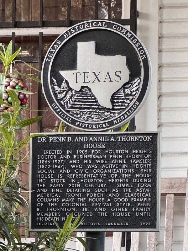
Photographed by Alex Brogan, April 8, 2025
1. Dr. Penn B. and Annie A. Thornton House Marker
Erected 1998 by Texas Historical Commission. (Marker Number 11972.)
Topics. This historical marker is listed in this topic list: Landmarks.
Location. 29° 48′ N, 95° 24.153′ W. Marker is in Houston, Texas, in Harris County. It is in Houston Heights. It is on West 16th Street, on the right when traveling west. Touch for map. Marker is at or near this postal address: 327 West 16th Street, Houston TX 77008, United States of America. Touch for directions.

Regionally, this marker is in the American South and
this page online
Other nearby markers. At least 8 other markers are within walking distance of this marker: Cooley School (about 400 feet away, measured in a direct line); Reagan Masonic Lodge No. 1037 A.F. & A.M. (approx. 0.3 miles away); Dr. B.F. and Ethel Reed Coop House (approx. 0.3 miles away); St. Andrew's Episcopal Church (approx. 0.3 miles away); Heights Church of Christ (approx. 0.3 miles away); Daniel Denton Cooley (approx. 0.3 miles away); David Barker House (approx. 0.3 miles away); Houston Heights Odd Fellows Lodge No. 225 Hall (approx. 0.4 miles away). Touch for a list and map of all markers in Houston.
More about this marker. The marker is located behind a fence and may be difficult to view due to plant growth.
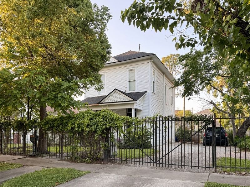
Photographed by Alex Brogan, April 8, 2025
2. Dr. Penn B. and Annie A. Thornton House
Credits. This page was last revised on April 10, 2025. It was originally submitted on April 9, 2025, by Alex Brogan of Houston, Texas. This page has been viewed 171 times since then and 35 times this year. Photos: 1, 2. submitted on April 9, 2025, by Alex Brogan of Houston, Texas. • James Hulse was the editor who published this page.
