Green Township near Perrysville in Ashland County, Ohio — The American Midwest (Great Lakes)
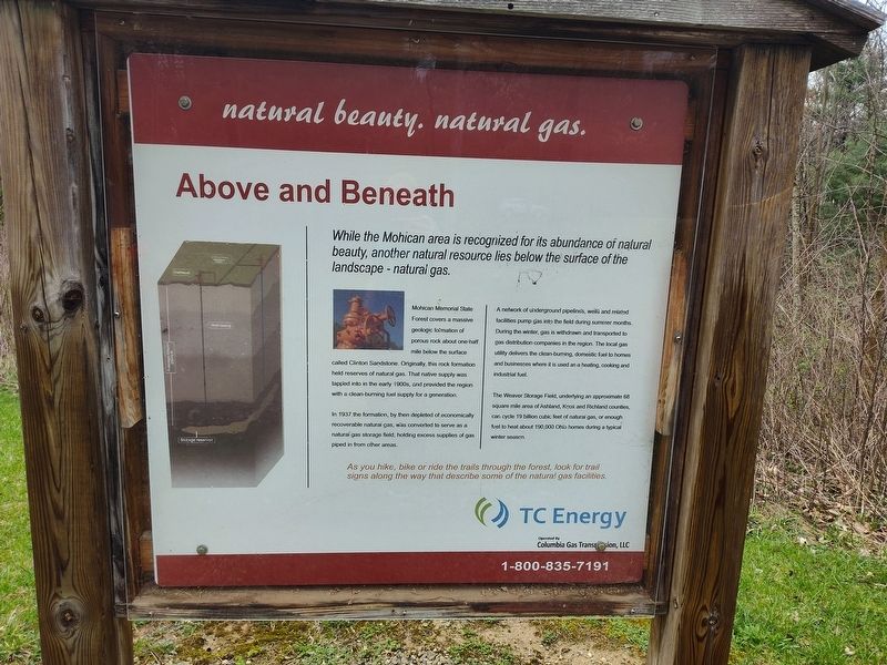
Above and Beneath
natural beauty. natural gas.
Photographed by Craig Doda, April 5, 2025
1. Above and Beneath Marker
While the Mohican area is recognized for its abundance of natural beauty, another natural resource lies below the surface of the landscape - natural gas.
Mohican Memorial State Forest covers a massive geologic formation of porous rock about one half mile below the surface called Clinton Sandstone. Originally, this rock formation held reserves of natural gas. That native supply was tapped into in the early 1900s, and provided the region with a clean-burning fuel supply for a generation.
In 1937 the formation, by then depleted of economically recoverable natural gas, was converted to serve as a natural gas storage field, holding excess supplies of gas piped in from other areas.
A network of underground pipeline's, wells and related facilities pump gas into the field during summer months. During the winter, gas is withdrawn and transported to gas distribution companies in the region. The local gas utility delivers the clean-burning, domestic fuel to homes and businesses where it is used as a heating, cooking and industrial fuel.
The Weaver Storage Field, underlying an approximate 68 square mile area of Ashland, Knox
this page online
As you hike, bike or ride the trails through the forest, look for trail signs along the way that describe some of the natural gas facilities.
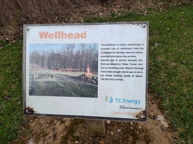
Wellhead
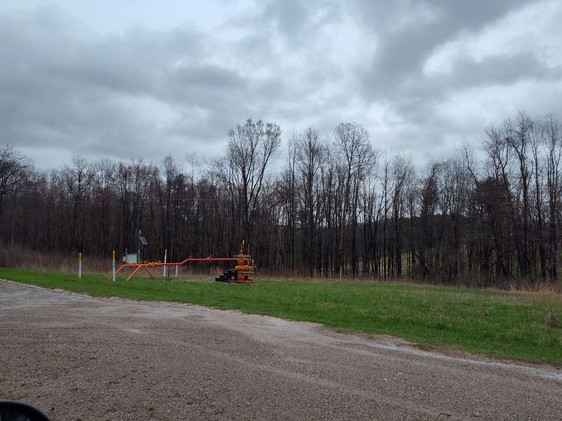
The wellhead is where natural gas is pumped into or withdrawn from the underground storage reservoir about one-half mile below the surface. Natural gas is stored beneath the Mohican-Memorial State Forest and the surrounding area. Weaver Storage Field holds enough natural gas to serve the winter heating needs of about 190,000 Ohio homes.
Erected by TC Energy Operated By Columbia Gas Transion, LLC.
Topics. This historical marker is listed in this topic list: Natural Resources. A significant historical year for this entry is 1937.
Location. 40° 36.009′ N, 82° 18.731′ W. Marker is near Perrysville, Ohio, in Ashland County. It is in Green Township. It is at the intersection of O D N R Mohican Road 51 and Park Road, on the right when traveling north on O D N R Mohican Road 51. Touch for map. Marker is at or near this postal address: 983
Photographed by Craig Doda, April 5, 2025
2. Above and Beneath Marker

Regionally, this marker is in Amish Country. It is also in the American Midwest. Globally, it is in North America, the Western Hemisphere, the Western World, and the Anglosphere. Historically, it finds itself in what was once the Haudenosaunee (Iroquois) Confederacy, the territory of the Mississippian Culture, and the Northwest Territory.
Other nearby markers. At least 8 other markers are within walking distance of this marker: Ohio Memorial Shrine (approx. 0.4 miles away); Mohican Fire Tower (approx. half a mile away); a different marker also named Mohican Fire Tower (approx. half a mile away); Ohio Department of Natural Resources 75th Anniversary (approx. half a mile away); Discover (approx. 0.9 miles away); Mohican Covered Bridge (approx. 0.9 miles away); The All-Importaint Hemlock (approx. 0.9 miles away); a different marker also named Discover (approx. 0.9 miles away). Touch for a list and map of all markers in Perrysville.
Photographed by Craig Doda, April 5, 2025
3. Above and Beneath Marker
Photographed by Craig Doda, April 5, 2025
4. Above and Beneath Marker
Credits. This page was last revised on May 6, 2025. It was originally submitted on April 10, 2025, by Craig Doda of Napoleon, Ohio. This page has been viewed 125 times since then and 18 times this year. Photos: 1, 2, 3, 4. submitted on April 10, 2025, by Craig Doda of Napoleon, Ohio. • Devry Becker Jones was the editor who published this page.
