Near Huger in Berkeley County, South Carolina — The American South (South Atlantic)
New Hope Methodist Church

Photographed by J. J. Prats, March 25, 2025
1. New Hope Methodist Church Marker, Side One
The congregation of New Hope Methodist Church dates to 1837. At that time the congregation consisted of both white members and enslaved African American members from surrounding plantations. After the Civil War the African American members purchased the church building and reorganized as an A.M.E. congregation. A new church, a frame building, was completed in 1910.
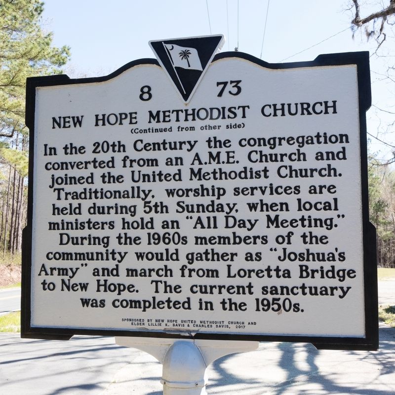
In the 20th Century the congregation converted from an A.M.E. Church and joined the United Methodist Church. Traditionally, worship services are held during 5th Sunday, when local ministers hold an “All Day Meeting.” During the 1960s members of the community would gather as “Joshua’s Army” and march from Loretta Bridge to New Hope. The current sanctuary was completed in the 1950s.
Erected 2017 by Department of Archives and History. Sponsored by New Hope United Methodist Church and Elder Lillie K. Davis & Charles Davis. (Marker Number 8-73.)
Topics and series. This historical marker is listed in these topic lists: African Americans • Religion & Religious Structures. In addition, it is included in the African Methodist Episcopal (AME) Church
this page online
Location. 33° 5.346′ N, 79° 49.02′ W. Marker is near Huger, South Carolina, in Berkeley County. It is on Cainhoy Road 0.9 miles west of South Carolina Route 41, on the left when traveling west. Touch for map. Marker is at or near this postal address: 3692 Cainhoy Rd, Huger SC 29450, United States of America. Touch for directions.

Regionally, this marker is in the Lowcountry and in Santee Cooper Country. It is also in the American South, specifically in the Deep South, and on the Eastern Seaboard. Globally, it is in the North Atlantic Region, North America, the Western Hemisphere, the Western World, and the Anglosphere. Historically, it finds itself in what was once the territory of the Mississippian Culture, one of the original Thirteen Colonies, one of the Confederate States of America, and the Antebellum South.
Other nearby markers. At least 8 other markers are within 10 miles of this marker, measured as the crow flies: Quinby Bridge & Shubrick’s Plantation: The Disastrous “Raid of the Dog Days” (approx. 0.7 miles away); Quenby Bridge (approx. 0.7 miles away);
Photographed by J. J. Prats, March 25, 2025
2. New Hope Methodist Church Marker, Side Two
Regarding New Hope Methodist Church. The church was destroyed by fire September 6, 2020.

Photographed by J. J. Prats, March 25, 2025
3. New Hope Methodist Church Marker

Photographed by J. J. Prats, March 25, 2025
4. New Hope Methodist Church Location
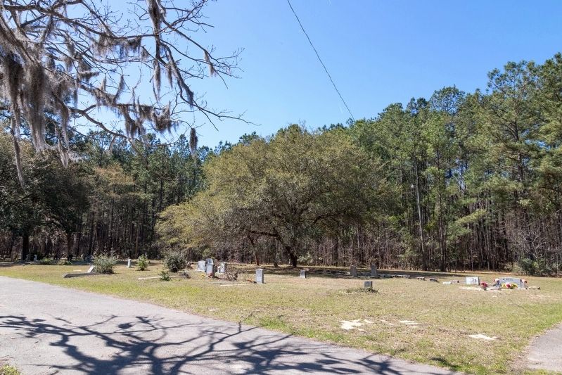
The church was destroyed by fire September 6, 2020. The congregation now meets at the New Hope Community Life Center, 152 Heywardridge Lane in Huger.
Photographed by J. J. Prats, March 25, 2025
5. New Hope Methodist Church Cemetery
Credits. This page was last revised on May 27, 2026. It was originally submitted on April 11, 2025, by J. J. Prats of Powell, Ohio. This page has been viewed 446 times since then and 108 times this year. Photos: 1, 2, 3, 4, 5. submitted on April 11, 2025, by J. J. Prats of Powell, Ohio.
