Los Alamos in Los Alamos County, New Mexico — The American Mountains (Southwest)
Manhattan Project Era Chapel
Los Alamos Historic District Walking Tour
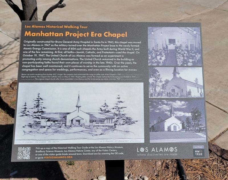
Photographed by James Hulse, March 25, 2025
1. Manhattan Project Era Chapel Marker
Below: An artist's rendering from builder W.C. Kruger, the company that constructed the wings on either side of the Chapel in 1947. (photos courtesy Los Alamos Historical Society) Right top to bottom: The Chapel's first Catholic mass on May 4, 1947; People gather outside The Chapel, before the landscaping was finished in 1947 (photos courtesy The United Church); The original chapel shortly after it was assembled in Los Alamos and the landscaping was done, circa late 1947. (photo courtesy Los Alamos Historical Society)
Pick up a copy of the Historical Walking Tour Guide at the Los Alamos History Museum, Bradbury Science Museum, Los Alamos Nature Center, any of the Visitor Centers, or one of the visitor guide kiosks around town. Download one by scanning the QR code, or go to visitlosalamos.org.
Erected by Los
this page online
Topics. This historical marker is listed in this topic list: Religion & Religious Structures. A significant historical date for this entry is May 4, 1947.
Location. 35° 53.059′ N, 106° 18.298′ W. Marker is in Los Alamos, New Mexico, in Los Alamos County. It is at the intersection of Rose Street and Circle Drive on Rose Street. The marker is located at the backside of the United Church. Touch for map. Marker is at or near this postal address: 2525 Canyon Rd, Los Alamos NM 87544, United States of America. Touch for directions.

Regionally, this marker is in Northern New Mexico. It is also in the American Southwest. Globally, it is in North America, the Rocky Mountains, the Western Hemisphere, the Western World, and the Anglosphere. Historically, it finds itself in what was once New Spain.
Other nearby markers. At least 8 other markers are within walking distance of this marker: WWII Army Chapel (within shouting distance of this marker); Life on the Pajarito Plateau (about 400 feet away, measured in a direct line); Power House (approx. 0.2 miles away); Pajarito Mountain Ski Area (approx. 0.2 miles away); A Sense of Place (approx.
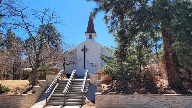
Photographed by James Hulse, March 25, 2025
2. The front view of the United Church of Los Alamos
Also see . . .
1. Los Alamos where discoveries are made. Los Alamos County (Submitted on April 12, 2025, by James Hulse of Medina, Texas.)
2. Historical Walking Tour Map. Los Alamos Historical Museum
Walk from the Stone Age to the atomic age. Your walking tour spans eight centuries of Los Alamos history, from ancestral Pueblos, through homesteading on the Pajarito Plateau, to the future of science and technology. We hope that it will be just the beginning of your acquaintance with Los Alamos.(Submitted on April 12, 2025, by James Hulse of Medina, Texas.)
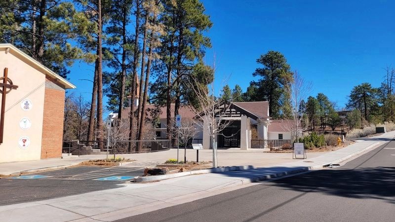
Photographed by James Hulse, March 25, 2025
3. The view of the marker at the backside of the church
Credits. This page was last revised on April 12, 2025. It was originally submitted on April 11, 2025, by James Hulse of Medina, Texas. This page has been viewed 174 times since then and 32 times this year. Photos: 1, 2, 3. submitted on April 12, 2025, by James Hulse of Medina, Texas.
