Near Moncks Corner in Berkeley County, South Carolina — The American South (South Atlantic)
Oakley School

Photographed by J. J. Prats, March 25, 2025
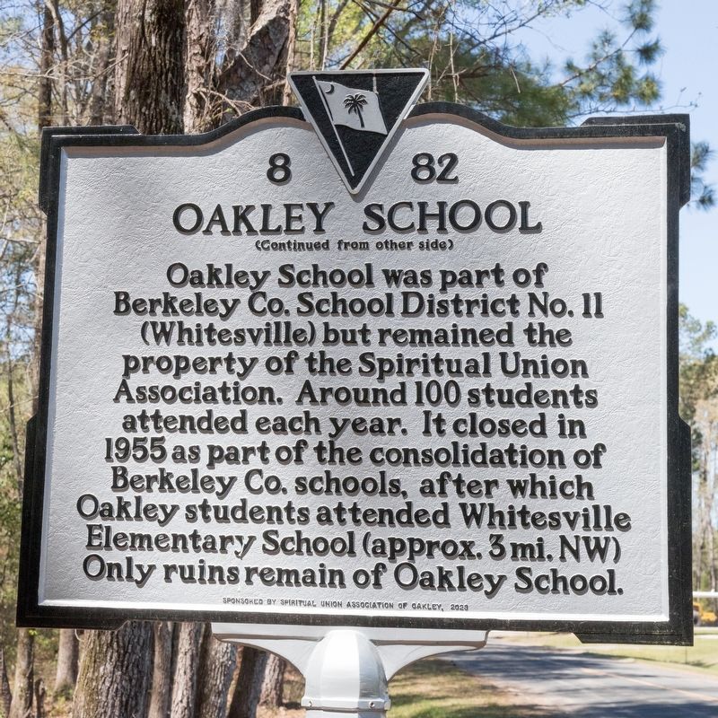
1. Oakley School Marker, Side One
Oakley School was part of Berkeley County School District No. 11 (Whitesville) but remained the property of the Spiritual Union Association. Around 100 students attended each year. It closed in 1955 as part of the consolidation of Berkeley Co. schools, after which Oakley students attended Whitesville Elementary School (approx. 3 mi. NW) Only ruins remain of Oakley School.
Erected 2023 by Department of Archives and History. Sponsored by the Spiritual Union Association of Oakley. (Marker Number 8-82.)
Topics. This historical marker is listed in these topic lists: African Americans • Charity & Public Work • Education. A significant historical year for this entry is 1922.
Location. 33° 7.427′ N, 80° 1.069′ W. Marker is near Moncks
this page online

Regionally, this marker is in the Lowcountry and in Santee Cooper Country. It is also in the American South, specifically in the Deep South, and on the Eastern Seaboard. Globally, it is in the North Atlantic Region, North America, the Western Hemisphere, the Western World, and the Anglosphere. Historically, it finds itself in what was once the territory of the Mississippian Culture, one of the original Thirteen Colonies, one of the Confederate States of America, and the Antebellum South.
Other nearby markers. At least 8 other markers are within 5 miles of this marker, measured as the crow flies: Mulberry Plantation (approx. 1.2 miles away); Lewisfield Plantation (approx. 3 miles away); Spring Grove Plantation (approx. 3.2 miles away); St. James, Goose Creek Chapel of Ease / Bethlehem Baptist Church (approx. 3.8 miles away); Mepkin Plantation
Photographed by J. J. Prats, March 25, 2025
2. Oakley School Marker, Side Two

Photographed by J. J. Prats, March 25, 2025
3. Oakley School Marker
Photographed by J. J. Prats, March 25, 2025
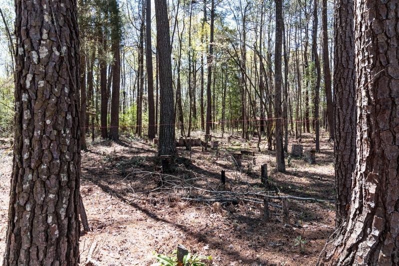
4. Oakley School Ruins
A few steps into the woods from the marker. Click on image to zoom in.
Credits. This page was last revised on April 12, 2025. It was originally submitted on April 12, 2025, by J. J. Prats of Powell, Ohio. This page has been viewed 538 times since then and 70 times this year. Photos: 1, 2, 3, 4. submitted on April 12, 2025, by J. J. Prats of Powell, Ohio.
