
Newton Upper Falls in Middlesex County, Massachusetts — The American Northeast (New England)
Brian E. Yates
Photographed by Conrad Ward, November 16, 2024
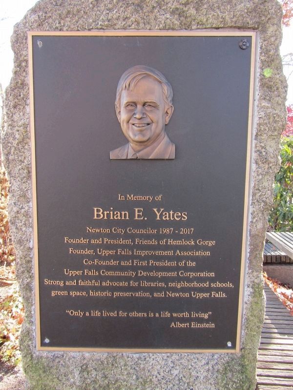
1. Brian E. Yates Marker
Brian E. Yates
Newton City Councilor 1987 - 2017
Founder and President, Friends of Hemlock Gorge
Founder, Upper Falls Improvement Association
Co-Founder and First President of the
Upper Falls Community Development Corporation
Strong and faithful advocate for libraries, neighborhood schools,
green space, historic preservation, and Newton Upper Falls.
"Only a life lived for others is a life worth living"
Albert Einstein
Topics. This historical marker is listed in this topic list: Charity & Public Work.
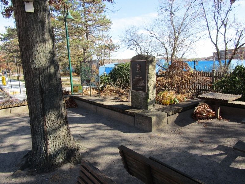
Location. 42° 18.562′ N, 71° 13.204′ W. Marker is in Newton, Massachusetts, in Middlesex County. It is in Newton Upper Falls. It is at the intersection of Chestnut Street and Oak Street, on the right when traveling east on Chestnut Street. Located on the Upper Falls Greenway. Touch for map. Marker is at or near this postal address: 1225 Chestnut Street, Newton Upper Falls MA 02464, United States of America. Touch for directions.

Regionally, this marker is in Greater Boston. It is also in the American Northeast, in New England, and on the Eastern
this page online
Other nearby markers. At least 8 other markers are within 4 miles of this marker, measured as the crow flies: Cook's Bridge (approx. 0.4 miles away); Town of Needham (approx. 0.4 miles away); First Church in Old U.F. Village (approx. half a mile away); Civil War Soldiers Monument (approx. 1.7 miles away); Near This Spot (approx. 2.3 miles away); Site of Early Meeting House (approx. 2.6 miles away); East Parish Burying Ground (approx. 2.7 miles away); Wellesley Town Hall (approx. 3.8 miles away). Touch for a list and map of all markers in Newton.
Photographed by Conrad Ward, November 16, 2024
2. Brian E. Yates Marker
Credits. This page was last revised on April 30, 2025. It was originally submitted on April 13, 2025, by Conrad Ward of Guilford, Connecticut. This page has been viewed 96 times since then and 13 times this year. Photos: 1, 2. submitted on April 13, 2025, by Conrad Ward of Guilford, Connecticut. • Michael Herrick was the editor who published this page.
