Newton Upper Falls in Norfolk County, Massachusetts — The American Northeast (New England)
Cook's Bridge
Photographed by Conrad Ward, November 16, 2024
1. Cook's Bridge Marker
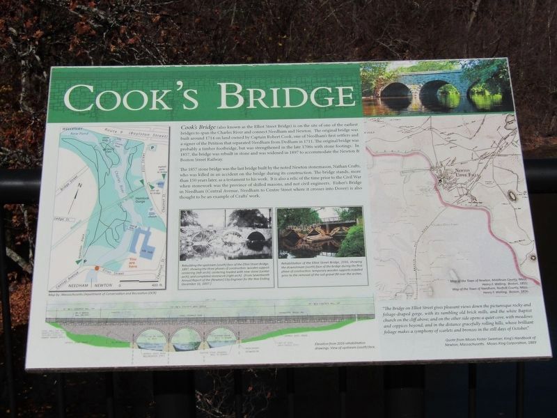
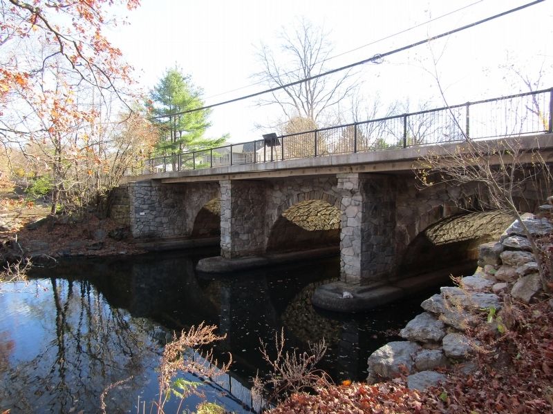
Cook's Bridge (also known as the Elliot Street Bridge) on the site of one of the earliest bridges to span the Charles River and connect Needham and Newton. The original bridge was built around 1714 on land owned by Captain Robert Cook, one of Needham's first settlers and a signer of the Petition that separated Needham from Dedham in 1711. The original bridge was probably a timber footbridge, but was strengthened in the late 1700s with stone footings. In 1857, the bridge was rebuilt in stone and was widened in 1897 to accommodate the Newton & Boston Street Railway.
The 1857 stone bridge was the last bridge built by the noted Newton stonemason, Nanthan Crafts, who was killed in an accident on the bridge during its construction. The bridge stands, more than 150 years later, as a testament to his work. It is also a relic of the time prior to the Civil War when stonework was the province of skilled masons, and not civil engineers. Fisher's Bridge in Needham (Central Avenue, Needham to Centre Street where it crosses into Dover) is also thought to be an example of Craft's work.
"The Bridge on Elliot Street gives pleasant views down the picturesque rocky and foliage-draped gorge, with its rambling old brick mills, and the white Baptist church on the cliff above, and on the other side opens a quiet cove, with meadows and coppices beyond and in the distance gracefully rolling hills whose brilliant foliage makes a symphony of scarlets and bronzes in the still days of October."
Quote
this page online
(Upper left map)
Map by: Massachusetts Department of Conservation and Recreation (DCR)
(Middle left image)
Rebuilding the upstream (south) face of the Elliot Street Bridge, 1897, showing the three phases of construction: wood support centering (left arch); centering loaded with new stone (center arch); and completed stonework (right arch). (From Seventeenth Annual Report of the (Newton) City Engineer for the Year Ending December 31, 1897.)
(Middle right image)
Rehabilitation of the Elliot Street Bridge, 2016, showing the downstream (north) face of the bridge during the first phase of construction: temporary wooden supports installed prior to the removal of the soil gravel fill over the arches.
(Lower left illustration)
Elevation from 2016 rehabilitation drawings. View of upstream (south) face.
(Right map)
Map of the Town of Newton, Middlesex County, Mass.
Henry F. Walling. Boston, 1855;
Map of the Town of Needham, Norfolk County, Mass.
Henry F. Walling. Boston, 1856.
Topics. This historical marker is listed
Photographed by Conrad Ward, November 16, 2024
2. Cook's Bridge Marker
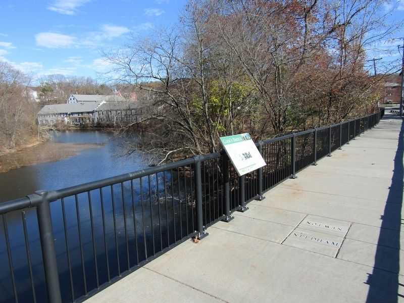
Location. 42° 18.75′ N, 71° 13.628′ W. Marker is in Newton, Massachusetts, in Norfolk County. It is in Newton Upper Falls. It is on Elliot Street, on the right when traveling west. The marker straddles the boundary between Newton and Needham. Touch for map. Marker is in this post office area: Newton Upper Falls MA 02464, United States of America. Touch for directions.

Regionally, this marker is in Greater Boston. It is also in the American Northeast, in New England, and on the Eastern Seaboard. Globally, it is in the North Atlantic Region, North America, the Western Hemisphere, the Western World, and the Anglosphere. Historically, it finds itself in what was once one of the original Thirteen Colonies.
Other nearby markers. At least 8 other markers are within 4 miles of this marker, measured as the crow flies: Town of Needham (a few steps from this marker); First Church in Old U.F. Village (approx. ¼ mile away); Brian E. Yates (approx. 0.4 miles away); Civil War Soldiers Monument (approx. 1.7 miles away); Near This Spot (approx. 1.8 miles
Photographed by Conrad Ward, November 16, 2024
3. Cook's Bridge
Credits. This page was last revised on April 15, 2025. It was originally submitted on April 13, 2025, by Conrad Ward of Guilford, Connecticut. This page has been viewed 252 times since then and 83 times this year. Photos: 1, 2, 3. submitted on April 13, 2025, by Conrad Ward of Guilford, Connecticut. • Andrew Ruppenstein was the editor who published this page.
