Clyde in Wayne County, New York — The American Northeast (Mid-Atlantic)
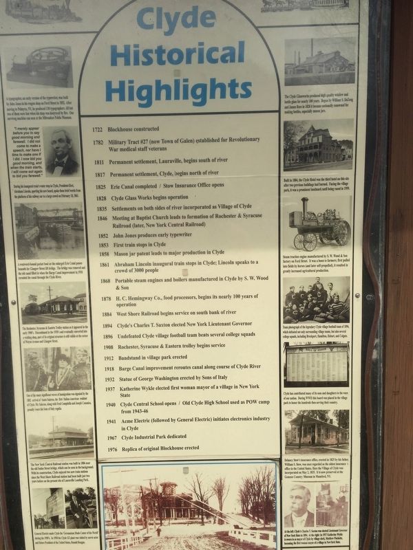
Clyde Historical Highlights
Photographed by Steve Stoessel, April 7, 2019
1. Clyde Historical Highlights Marker
1722 Blockhouse constructed
1782 Military Tract #27 (now Town of Galen) established for Revolutionary War medical staff veterans
1811 Permanent settlement, Lauraville, begins south of river
1825 Erie Canal completed/Stow Insurance Office opens
1828 Clyde Glass Works begins operations
1835 Settlements on both sides of river incorporated as Village of Clyde
1846 Meeting at Baptist Church leads to formation of Rochester & Syracuse Railroad (later New York Central Railroad)
1852 John Jones produces early typewriter
1853 First train stops in Clyde
1858 Mason jar patent leads to major production in Clyde
1861 Abraham Lincoln inaugural train stops in Clyde; Lincoln speaks to crowd of 3000 people
1868 Portable steam engines and boilers manufactured in Clyde by S.W. Wood & Son
1878 H.C. Hemingway Co., food processors, begins its nearly 100 years of operation
1884 West Shore Railroad begins service on south bank of river
1894 Clyde's Charles T. Saxon elected New York Lieutenant Governor
1896 Undefeated Clyde village football team beats several college squads
1908 Rochester, Syracuse, & Eastern trolley begins service
1912
this page online
1918 Barge Canal improvements reroutes canal along course of Clyde River
1932 Statue of George Washington erected by Sons of Italy
1937 Katherine Wykle elected first woman mayor of a village in New York
1940 Clyde Central School opens/Old Clyde High School used as POW camp from 1943-46
1941 Acme Electric (followed by General Electric) initiates electronics industry in Clyde
1967 Clyde Industrial Park dedicated
1976 Replica of original Blockhouse erected
Topics and series. This historical marker is listed in this topic list: Settlements & Settlers. In addition, it is included in the Erie Canal series list. A significant historical year for this entry is 1722.
Location. 43° 4.835′ N, 76° 52.277′ W. Marker is in Clyde, New York, in Wayne County. It is on Water Street, on the right when traveling west. The marker stands in the park, which is in Lauraville Landing. It may be reached from New York Route 414. Touch for map. Marker is in this post office area: Clyde NY 14433, United States of America. Touch for directions.

Regionally, this marker is in Upstate New York, specifically in Western New York,
Photographed by Steve Stoessel, April 7, 2019
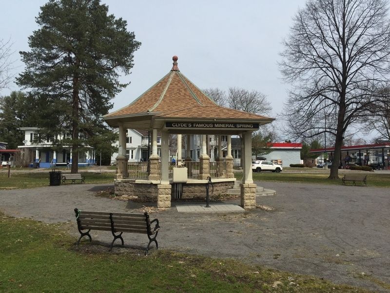
2. Gazebo
Other nearby markers. At least 8 other markers are within walking distance of this marker: George Washington (here, next to this marker); Erie Canal (within shouting distance of this marker); The Erie Canal in Clyde (within shouting distance of this marker); Town of Galen (about 300 feet away, measured in a direct line); West Shore RR (about 400 feet away); Lincoln Inaugural Train Mural (about 600 feet away); Block House Road (about 800 feet away); a different marker also named Clyde Historical Highlights (approx. 0.2 miles away). Touch for a list and map of all markers in Clyde.
Photographed by Steve Stoessel, April 7, 2019
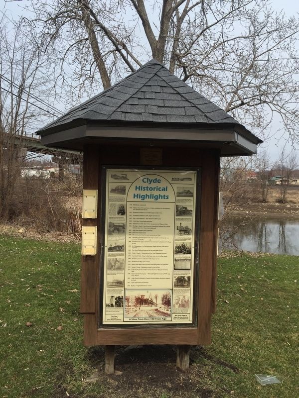
3. Clyde Historical Highlights Marker
Photographed by Steve Stoessel, April 7, 2019
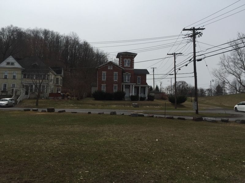
4. Lauraville Landing
Credits. This page was last revised on April 14, 2025. It was originally submitted on April 9, 2019, by Steve Stoessel of Niskayuna, New York. This page has been viewed 1,223 times since then and 97 times this year. Last updated on April 13, 2025, by Susan A. Dalaba of Cortland, New York. Photos: 1, 2, 3, 4. submitted on April 9, 2019, by Steve Stoessel of Niskayuna, New York. • Devry Becker Jones was the editor who published this page.
Editor’s want-list for this marker. Photos of the additional, identical marker. Each should have its own profile. • Can you help?
