Panguitch in Garfield County, Utah — The American Mountains (Southwest)
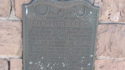
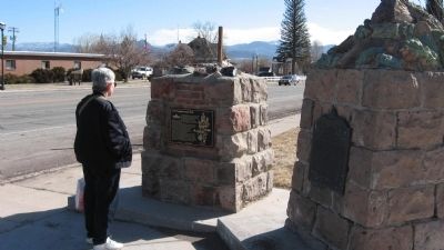
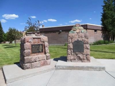
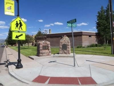
Panguitch Fort
Erected 1940 by Daughters of Utah Pioneers. (Marker Number 62.)
Topics and series. This historical marker is listed in these topic lists: Forts and Castles • Settlements & Settlers. In addition, it is included in the Daughters of Utah Pioneers series list. A significant historical month for this entry is March 1864.
Location. 37° 49.362′ N, 112° 25.897′ W. Marker is in Panguitch, Utah, in Garfield County. Marker is at the intersection of Center Street (U.S. 89) and 200 E Center Street, on the right when traveling east on Center Street. Touch for map. Marker is in this post office area: Panguitch UT 84759, United States of America. Touch for directions.
Other nearby markers. At least 8 other markers are within 10 miles of this marker, measured as the crow flies. The Panguitch Quilt Walk (here, next to this marker); A Little Panguitch History (a few steps from this marker); Panguitch Tithing Lot (about 500 feet away, measured in a direct line); Panguitch Stake Tabernacle (about 600 feet away); The Panguitch Quilt Walk History (approx. 0.2 miles away); Social Hall (approx. 0.2 miles away); Podunk Guard Station (approx. 8.2 miles away); Red Canyon Tunnels (approx. 9.2 miles away). Touch for a list and map of all markers in Panguitch.
Credits. This page was last revised on June 16, 2016. It was originally submitted on January 30, 2010, by Steve Gustafson of Lufkin, Texas. This page has been viewed 1,328 times since then and 25 times this year. Photos: 1, 2, 3. submitted on January 30, 2010, by Steve Gustafson of Lufkin, Texas. 4, 5. submitted on June 22, 2014, by Bill Kirchner of Tucson, Arizona. • Bill Pfingsten was the editor who published this page.
