Near Weatherford in Parker County, Texas — The American South (West South Central)
Baker Community
Photographed by Matthew G French, April 13, 2025
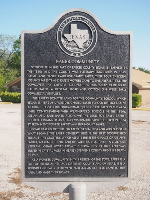
1. Baker Community Marker
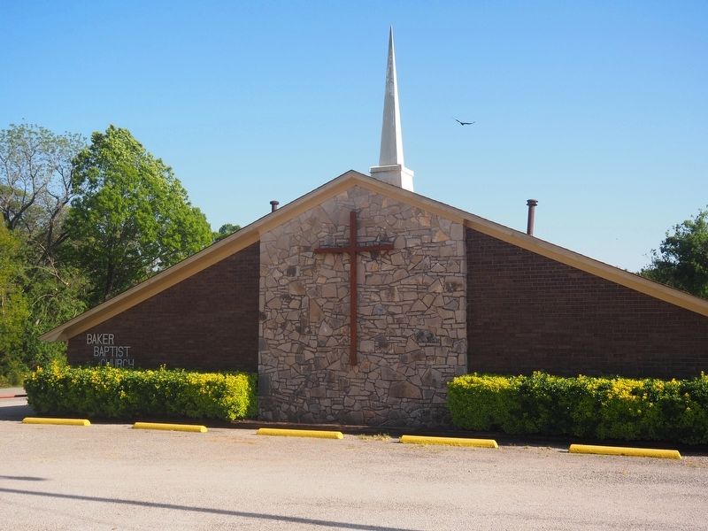
The Bakers donated land for the community school, which began in 1872 and was designated Baker School District No. 60 in 1884. It served the educational needs of children in the area until consolidating with Weatherford Schools in the 1950s. Josiah and Kate Baker also gave the land for Baker Baptist Church, organized as Shiloh Missionary Baptist Church in 1854 by prominent pioneer Baptist minister Noah T. Byars.
Josiah Baker's mother, Elizabeth, died in 1854 and was buried in what became the Baker Cemetery. Hers is the first documented burial in the cemetery, which also is the resting place of Josiah's father, Martin (d. 1858), and his wife, Kate (d. 1895). A Civil War veteran, Josiah moved from the community in 1895 and was buried in Crystal
this page online
As a pioneer community in this region of the state, Baker is a part of the rural heritage of Parker County and of Texas. It is a reminder of early settlement patterns as pioneers came to this area and made their homes.
Erected 2002 by Texas Historical Commission. (Marker Number 12713.)
Topics. This historical marker is listed in these topic lists: Education • Industry & Commerce • Religion & Religious Structures • Settlements & Settlers. A significant historical year for this entry is 1855.
Location. 32° 34.778′ N, 97° 43.655′ W. Marker is near Weatherford, Texas, in Parker County. It is at the intersection of Baker Cut Off Road and Baker Road, on the right when traveling east on Baker Cut Off Road. Touch for map. Marker is at or near this postal address: 1912 Baker Cut Off Rd, Weatherford TX 76087, United States of America. Touch for directions.

Regionally, this marker is in the Prairies & Lakes Region and in the Dallas-Fort Worth Metropolitan Area. Globally, it is in North America, a Gulf of Mexico state, the Western Hemisphere, the Western World,

Photographed by Matthew G French, April 13, 2025
2. Baker Community Marker
Other nearby markers. At least 8 other markers are within 8 miles of this marker, measured as the crow flies: Parsons Station (approx. 4 miles away); Spring Creek Community (approx. 5.8 miles away); Colonel Alfred G. Cooper (approx. 5.8 miles away); Cresson School (approx. 7.1 miles away); Dennis Methodist Church (approx. 7.4 miles away); Bruce-Davis House (approx. 7.4 miles away); Goforth Graves (approx. 7½ miles away); Three Miles South to the Grave of Elizabeth Crockett (approx. 7.7 miles away). Touch for a list and map of all markers in Weatherford.
Photographed by Matthew G French, April 13, 2025
3. Baker Baptist Church

Photographed by Matthew G French, April 13, 2025
4. Baker Baptist Church Sign

Photographed by Matthew G French, April 13, 2025
5. Baker Baptist Church
Credits. This page was last revised on April 15, 2025. It was originally submitted on April 13, 2025, by Matthew G French of Fort Worth, Texas. This page has been viewed 405 times since then and 133 times this year. Photos: 1, 2, 3, 4, 5. submitted on April 13, 2025, by Matthew G French of Fort Worth, Texas. • James Hulse was the editor who published this page.
