Saint Stephen in Berkeley County, South Carolina — The American South (South Atlantic)
St. Stephen (White) High School
Photographed by J. J. Prats, March 25, 2025
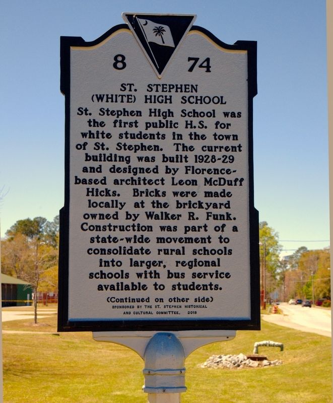
1. St. Stephen (White) High School Marker, Side One
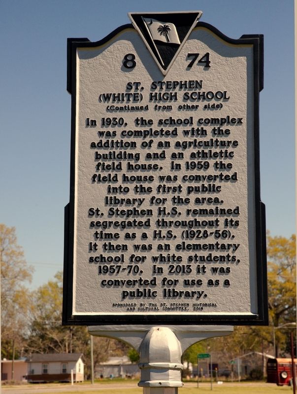
In 1930, the school complex was completed with the addition of an agriculture building and an athletic field house. In 1959 the field house was converted into the first public library for the area. St. Stephen H.S. remained segregated throughout its time as a H.S. (1928-56). It then was an elementary school for white students, 1957-70. In 2013 it was converted for use as a public library.
Erected 2018 by Department of Archives and History. Sponsored by the St. Stephen Historical And Cultural Committee. (Marker Number 8-74.)
Topics. This historical marker is listed in this topic list: Education. A significant historical year for this entry is 1930.
Location. 33° 24.297′ N, 79° 55.549′ W.
this page online

Regionally, this marker is in the Lowcountry and in Santee Cooper Country. It is also in the American South, specifically in the Deep South, and on the Eastern Seaboard. Globally, it is in the North Atlantic Region, North America, the Western Hemisphere, the Western World, and the Anglosphere. Historically, it finds itself in what was once the territory of the Mississippian Culture, one of the original Thirteen Colonies, one of the Confederate States of America, and the Antebellum South.
Other nearby markers. At least 8 other markers are within 6 miles of this marker, measured as the crow flies: St. Stephen Colored School / St. Stephen High School (approx. 0.3 miles away); St. Stephens Veterans Monument (approx. 0.4 miles away); St. Stephen's Episcopal Church (approx. half
Photographed by J. J. Prats, March 25, 2025
2. St. Stephen (White) High School Marker, Side Two
Regarding St. Stephen (White) High School. The public library closed in 2024 and the building was torn down.
Also see . . . Nearly Century-Old St. Stephen School To Be Torn Down. 2024 article by Nikki Gaskins Campbell in The Berkeley Observer. Excerpt:
“It was a decision made after much discussion between county council and the Town of St Stephen after multiple attempts for bids to salvage the existing building,” Berkeley County spokesperson Jenna-Ley Harrison told The Berkeley Observer in an email. The new, proposed 14,500 square-foot building will incorporate the library, the magistrate, and town hall, county officials said.(Submitted on April 14, 2025.)
Photographed by J. J. Prats, March 25, 2025
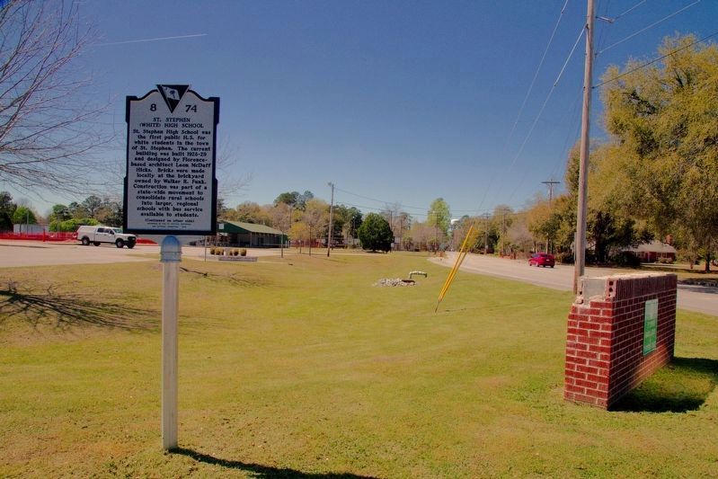
3. St. Stephen (White) High School Marker
Ravenell Drive is in the distance on the right. Pitts Street runs left to right behind the photographer.
Photographed by J. J. Prats, March 25, 2025
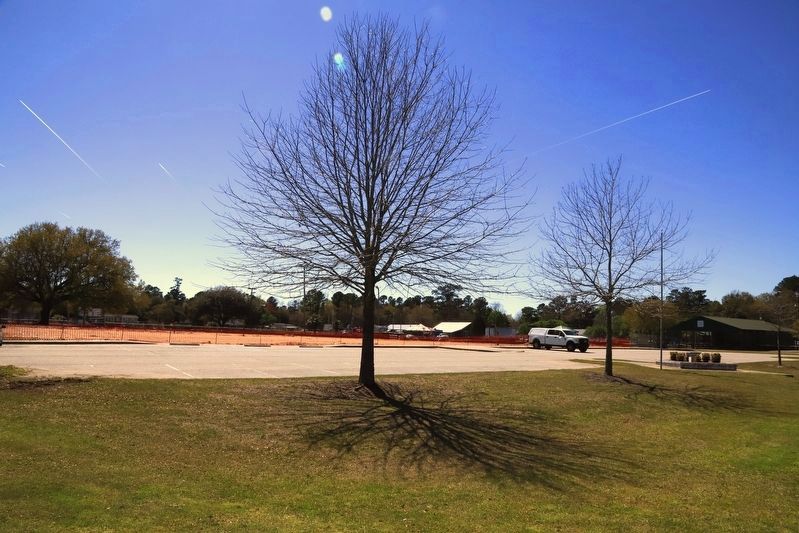
4. St. Stephen High School Location
This is the view from the marker, showing the parking lot in front of the school building which stood just behind the red construction fencing.
Credits. This page was last revised on April 14, 2025. It was originally submitted on April 14, 2025, by J. J. Prats of Powell, Ohio. This page has been viewed 258 times since then and 58 times this year. Photos: 1, 2, 3, 4. submitted on April 14, 2025, by J. J. Prats of Powell, Ohio.
