Detroit in Red River County, Texas — The American South (West South Central)
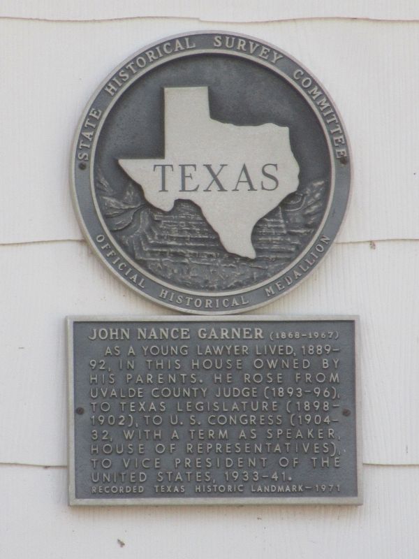
John Nance Garner
(1868-1967)
Photographed by Jason Armstrong, September 9, 2023
1. John Nance Garner Home Marker
Erected 1971 by State Historical Survey Committee. (Marker Number 10879.)
Topics. This historical marker is listed in these topic lists: Architecture • Patriots & Patriotism. A significant historical year for this entry is 1868.
Location. 33° 39.591′ N, 95° 15.943′ W. Marker is in Detroit, Texas, in Red River County. It is at the intersection of South Main Street and Moore Street, on the left when traveling north on South Main Street. Touch for map. Marker is at or near this postal address: 260 S Main St, Detroit TX 75436, United States of America. Touch for directions.

Regionally, this marker is in the American South and in the Piney Woods. Globally, it is in North America, a Gulf of Mexico state, the Western Hemisphere, the Western World, and the Anglosphere. Historically, it finds itself
this page online
Other nearby markers. At least 8 other markers are within 10 miles of this marker, measured as the crow flies: First Christian Church of Detroit (approx. ¼ mile away); William Becknell (approx. 5.9 miles away); Becknell Cemetery (approx. 6 miles away); a different marker also named William Becknell (approx. 6 miles away); First Baptist Church of Blossom (approx. 6.6 miles away); A House of the William Becknell Family (approx. 9.2 miles away); J.D. Tippit (approx. 9.4 miles away); Stone's Chapel Cemetery (approx. 9.9 miles away). Touch for a list and map of all markers in Detroit.
Photographed by Jason Armstrong, September 9, 2023
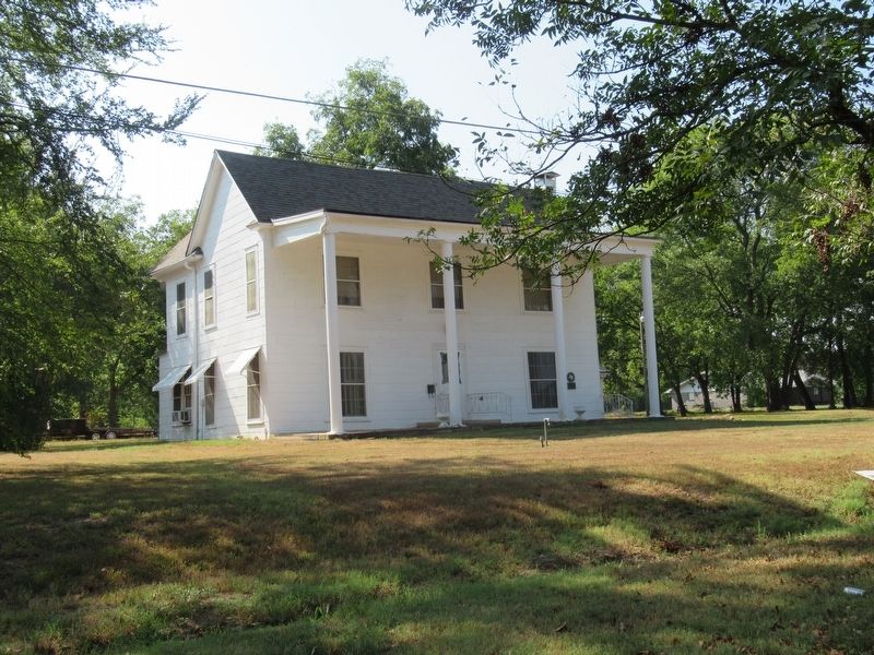
2. John Nance Garner Home
Credits. This page was last revised on April 17, 2025. It was originally submitted on April 16, 2025, by Jason Armstrong of Talihina, Oklahoma. This page has been viewed 382 times since then and 87 times this year. Photos: 1, 2. submitted on April 16, 2025, by Jason Armstrong of Talihina, Oklahoma. • James Hulse was the editor who published this page.
