Panguitch in Garfield County, Utah — The American Mountains (Southwest)
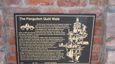
The Panguitch Quilt Walk
Seven men, Alexander Matheson, William Talbot, Thomas Richards, Jesse Lowder, John Butler, Thomas Adair, and John Paul Smith left Panguitch to go to Parowan to get flour and food for the starving colony. They had two yoke of oxen and a light wagon which they had to abandon at the head of Bear Valley because of the deep snow; they then proceeded on foot. The only progress that could be made over this frozen, crusted snow, was to lay a quilt down, walk to the end of it, relay it and walk again. In the way they reached Parowan.
Alexander Matheson recorded in his journal,"We decided that if we had faith as big as a mustard seed, we could make if and bring flour to our starving families. So we began the quilt-laying in prayerful earnestness. The return trip was harder with the weight of the flour, but we finally made it to our wagon and oxen and on home with thankfulness to the Lord of His goodness. The whole settlement welcomed us, because we had been gone longer than expected. There had been prayers, tears, and fears which turned to rejoicing and cheers."
Erected 1997 by Garfield Company. (Marker Number 510.)
Topics. This historical marker is listed in this topic list: Settlements & Settlers. A significant historical month for this entry is March 1839.
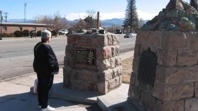
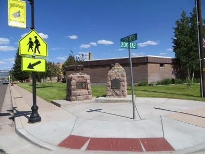
Location. 37° 49.362′ N, 112° 25.897′ W. Marker is in Panguitch, Utah, in Garfield County. Marker is at the intersection of Center Street (U.S. 89) and 200 E on Center Street. Touch for map. Marker is in this post office area: Panguitch UT 84759, United States of America. Touch for directions.
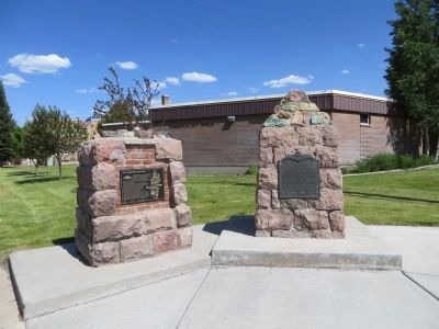
Other nearby markers. At least 8 other markers are within 10 miles of this marker, measured as the crow flies. Panguitch Fort (here, next to this marker); A Little Panguitch History (a few steps from this marker); Panguitch Tithing Lot (about 500 feet away, measured in a direct line); Panguitch Stake Tabernacle (about 600 feet away); The Panguitch Quilt Walk History (approx. 0.2 miles away); Social Hall (approx. 0.2 miles away); Podunk Guard Station (approx. 8.2 miles away); Red Canyon Tunnels (approx. 9.2 miles away). Touch for a list and map of all markers in Panguitch.
Credits. This page was last revised on June 16, 2016. It was originally submitted on January 30, 2010, by Steve Gustafson of Lufkin, Texas. This page has been viewed 2,755 times since then and 23 times this year. Last updated on January 31, 2010, by Steve Gustafson of Lufkin, Texas. Photos: 1, 2, 3. submitted on January 30, 2010, by Steve Gustafson of Lufkin, Texas. 4, 5. submitted on June 22, 2014, by Bill Kirchner of Tucson, Arizona. • Syd Whittle was the editor who published this page.
