Maxton in Robeson County, North Carolina — The American South (South Atlantic)
Town of Shoe Heel
⎯⎯⎯
Carolina Methodist College
Photographed by Mark Parker, March 24, 2025
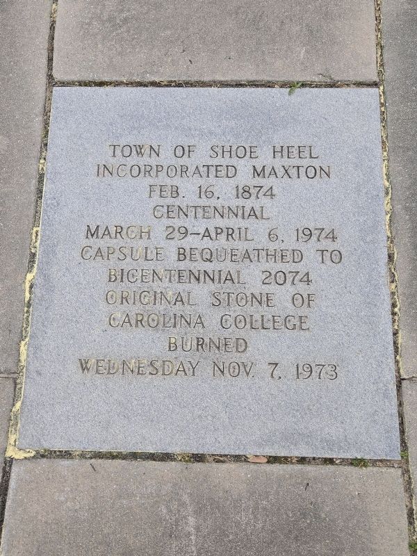
1. Town of Shoe Heel side of marker
Town of Shoe Heel incorporated Maxton Feb. 16. 1874
Centennial
March 29 - April 6, 1974
Capsule bequeathed to bicentennial 2074
Original stone of Carolina College
burned Wednesday Nov 7, 1973
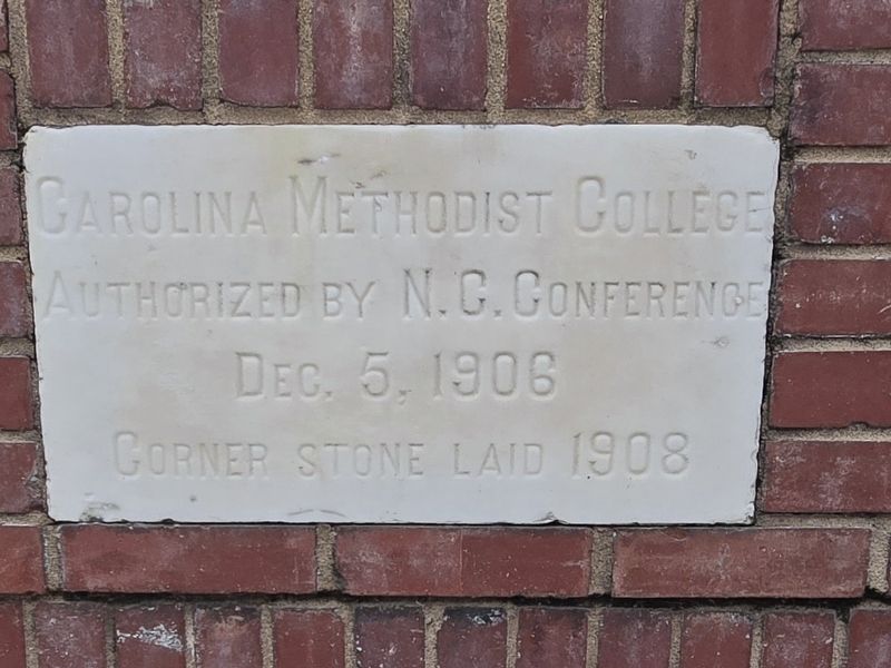
Carolina Methodist College
authorized by N.C. Conference
Dec. 5, 1906
Cornerstone laid 1908
Erected 1974.
Topics. This historical marker is listed in these topic lists: Disasters • Education • Political Subdivisions • Settlements & Settlers. A significant historical date for this entry is February 16, 1874.
Location. 34° 44.215′ N, 79° 20.915′ W. Marker is in Maxton, North Carolina, in Robeson County. It is at the intersection of North Patterson Street (North Carolina Route 71/130) and East Central Street, on the right when traveling north on North Patterson Street. Touch for map. Marker is at or near this postal address: 100 E Central St, Maxton NC 28364, United States of America. Touch for directions.

Regionally, this marker is in the Coastal Plain. It is also in the American South and specifically in the Upper South. Globally, it is in North America, the Western Hemisphere, the Western World, and the
this page online
Other nearby markers. At least 8 other markers are within 4 miles of this marker, measured as the crow flies: Maxton War Memorial (approx. 0.2 miles away); Maxton Alma Railroad Bell (approx. 0.2 miles away); Carolina College (approx. 0.4 miles away); “Battle of Hayes Pond” (approx. one mile away); Laurinburg-Maxton Army Air Base (approx. 1.3 miles away); Angus W. McLean (approx. 3.4 miles away); Floral College (approx. 3.4 miles away); Stewart-Hawley-Malloy House (approx. 3.9 miles away). Touch for a list and map of all markers in Maxton.
Another marker is no longer nearby. Stewartsville Cemetery (was approx. 3.2 miles away but has been permanently removed).
Photographed by Mark Parker, March 24, 2025
2. Carolina Methodist College side of marker
Photographed by Mark Parker, March 24, 2025
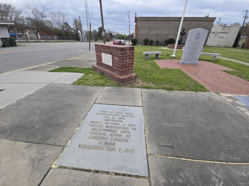
3. Full view of Town of Shoe Heel / Carolina Methodist College Marker
Photographed by Mark Parker, March 24, 2025
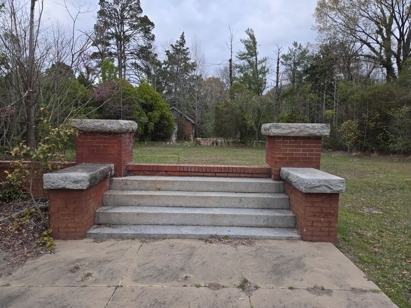
4. Remaining steps at ruins of Carolina Methodist College
Location of the ruins is at the intersection of East Florence and North Graham Streets in Maxton.
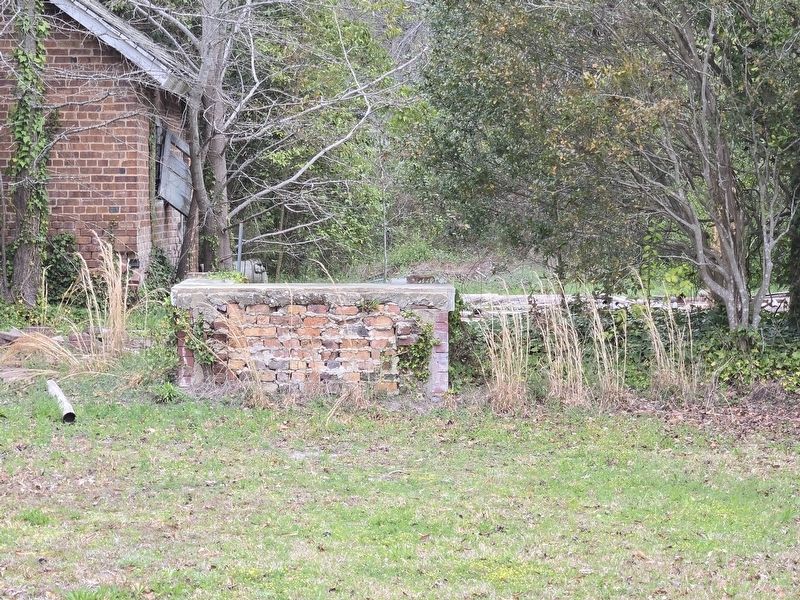
Photographed by Mark Parker, March 24, 2025
5. Ruins of Carolina Methodist College
Credits. This page was last revised on April 25, 2025. It was originally submitted on April 19, 2025, by Mark Parker of Hickory, North Carolina. This page has been viewed 151 times since then and 41 times this year. Photos: 1, 2, 3, 4, 5. submitted on April 19, 2025, by Mark Parker of Hickory, North Carolina. • Andrew Ruppenstein was the editor who published this page.
