Danville, Virginia — The American South (Mid-Atlantic)
The Cousins-Tulloch House
Built c.1896
Photographed by C. Ryan Dodson, April 19, 2025
1. The Cousins-Tulloch House Marker
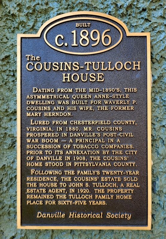
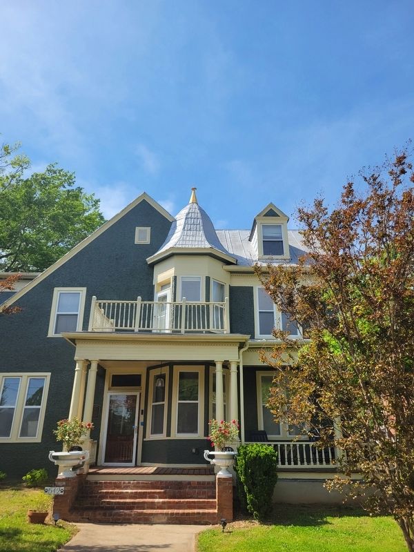
Dating from the mid-1890’s, this asymmetrical Queen Anne-style dwelling was built for Waverly P. Cousins and his wife, the former Mary Herndon.
Lured from Chesterfield County, Virginia, in 1880, Mr. Cousins prospered in Danville’s post-Civil War boom—a principal in a succession of tobacco companies. Prior to its annexation by the City of Danville in 1908, the Cousins’ home stood in Pittsylvania County.
Following the family’s twenty-year residence, the cousins’ estate sold the house to John S. Tulloch, a real estate agent, in 1920. The property remained the Tulloch family home place for sixty-five years.
Erected 2006 by Danville Historical Society.
Topics. This historical marker is listed in these topic lists: Architecture • Industry & Commerce. A significant historical year for this entry is 1896.
Location. 36° 34.432′ N, 79° 24.985′ W. Marker is in Danville, Virginia. It is on West Main Street (Virginia Route 293) south of Blackwell Drive, on the right when traveling south. Touch for map. Marker is at or near this postal address: 542 W Main St, Danville VA 24541, United States of America. Touch for directions.

Regionally,
this page online
Other nearby markers. At least 8 other markers are within walking distance of this marker: Averett University (approx. 0.3 miles away); World War I Memorial (approx. 0.3 miles away); Original Catholic School in Danville, Virginia (approx. 0.4 miles away); Site of the Schoolfield Recreation Center (approx. 0.4 miles away); Ballou Park History (approx. half a mile away); a different marker also named World War I Memorial (approx. half a mile away); Veterans Memorial (approx. half a mile away); Schoolfield Welfare Building (approx. half a mile away). Touch for a list and map of all markers in Danville.
Photographed by C. Ryan Dodson, April 19, 2025
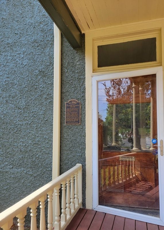
2. The Cousins-Tulloch House Marker
Photographed by C. Ryan Dodson, April 19, 2025
3. The Cousins-Tulloch House
Built circa 1896 in the Queen Anne style.
Photographed by C. Ryan Dodson, April 19, 2025
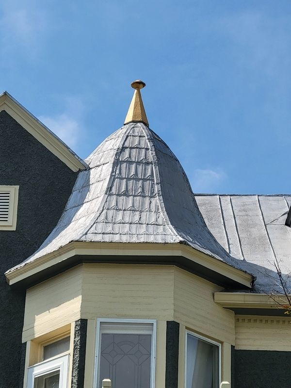
4. The Cousins-Tulloch House
The house is rich in decorative architectural features.
Credits. This page was last revised on April 24, 2025. It was originally submitted on April 19, 2025, by C. Ryan Dodson of Danville, Virginia. This page has been viewed 121 times since then and 10 times this year. Photos: 1, 2, 3, 4. submitted on April 19, 2025, by C. Ryan Dodson of Danville, Virginia. • Bernard Fisher was the editor who published this page.
