Central City in Corpus Christi in Nueces County, Texas — The American South (West South Central)
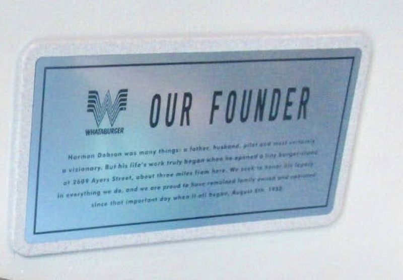
Our Founder
Photographed by Ian Lefkowitz, June 8, 2016
1. Our Founder Marker
Topics. This historical marker is listed in this topic list: Industry & Commerce. A significant historical date for this entry is August 8, 1950.
Location. 27° 47.551′ N, 97° 23.579′ W. Marker is in Corpus Christi, Texas, in Nueces County. It is in Central City. It is at the intersection of North Shoreline Boulevard and John Sartain St on North Shoreline Boulevard. Touch for map. Marker is at or near this postal address: 121 North Shoreline Boulevard, Corpus Christi TX 78401, United States of America. Touch for directions.

Regionally, this marker is in the American South and on the Gulf Coast. Globally, it is in North America, a Gulf of Mexico state, the Western Hemisphere, the Western World, and the Anglosphere. Historically, it finds itself in what was
this page online
Other nearby markers. At least 8 other markers are within walking distance of this marker: In Honor of our Brothers in Arms (about 600 feet away, measured in a direct line); Loss of Crew aboard Coast Guard Aircraft No. 2123 (about 600 feet away); Korean War Veterans Memorial (about 600 feet away); Corpus Christi and Nueces County Vietnam Veterans Memorial (about 700 feet away); Sherrill Park (about 700 feet away); Capitán Blas María de la Garza Falcón (about 700 feet away); Corpus Christi Global War on Terrorism Memorial (about 700 feet away); The Ranchero (about 800 feet away). Touch for a list and map of all markers in Corpus Christi.

Photographed by Ian Lefkowitz, June 8, 2016
2. Harmon Dobson Statue
Look for the statue of Harmon Dobson, Whataburger's founder, on the second floor in the outdoor seating area of Whataburger-by-the-Bay.
Photographed by Ian Lefkowitz, June 8, 2016
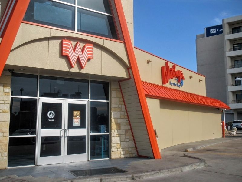
3. Whataburger by the Bay
Texas's flagship Whataburger faces Corpus Christi Bay.
Credits. This page was last revised on April 27, 2025. It was originally submitted on April 19, 2025, by Ian Lefkowitz of New York, New York. This page has been viewed 204 times since then and 30 times this year. Photos: 1, 2, 3. submitted on April 19, 2025, by Ian Lefkowitz of New York, New York. • James Hulse was the editor who published this page.
