Lyons in Wayne County, New York — The American Northeast (Mid-Atlantic)
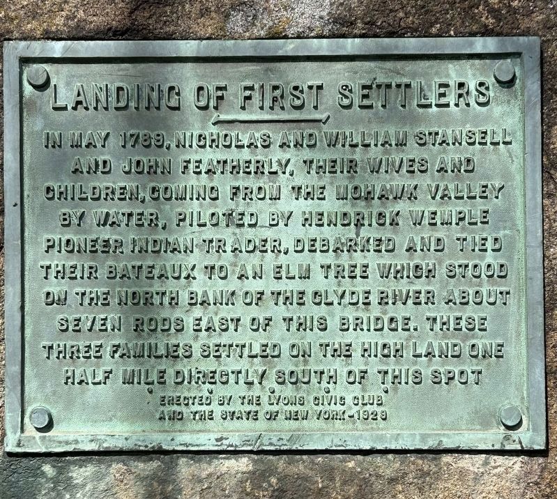
Landing of First Settlers
Photographed by Susan A. Dalaba, April 20, 2025
1. Landing of First Settlers Marker
Erected 1929 by Lyons Civic Club and the State of New York.
Topics. This historical marker is listed in this topic list: Settlements & Settlers. A significant historical month for this entry is May 1789.
Location. 43° 3.684′ N, 76° 59.671′ W. Marker is in Lyons, New York, in Wayne County. It can be reached from Forgham Street when traveling north. Take NY-14 (Geneva Street) north and turn left on the road (unmarked) before the bridge to go over the Erie Canal. The marker is near the end of the parking area by the water. Touch for map. Marker is in this post office area: Lyons NY 14489, United States of America. Touch for directions.

Regionally, this marker is in Upstate New York, specifically in Western New York, in the Finger
this page online
Other nearby markers. At least 8 other markers are within walking distance of this marker: Canal Town Mural 1990 (about 400 feet away, measured in a direct line); New York State Barge Canal (about 500 feet away); H.G. Hotchkiss (about 700 feet away); The H. G. Hotchkiss Essential Oil Company (about 700 feet away); H.G. Hotchkiss Peppermint Mural (about 700 feet away); H.G. Hotchkiss/Hotchkiss Essential Oils (about 700 feet away); Enlarged Erie Canal Lock 55 (about 700 feet away); G. Winston Dobbins Memorial Park (approx. 0.2 miles away). Touch for a list and map of all markers in Lyons.
Photographed by Susan A. Dalaba, April 20, 2025
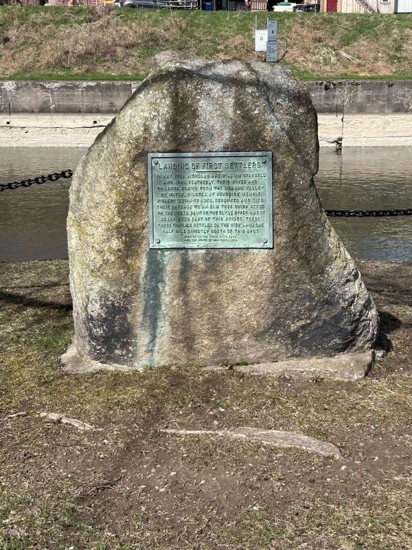
2. Landing of First Settlers Marker
Photographed by Susan A. Dalaba, April 20, 2025
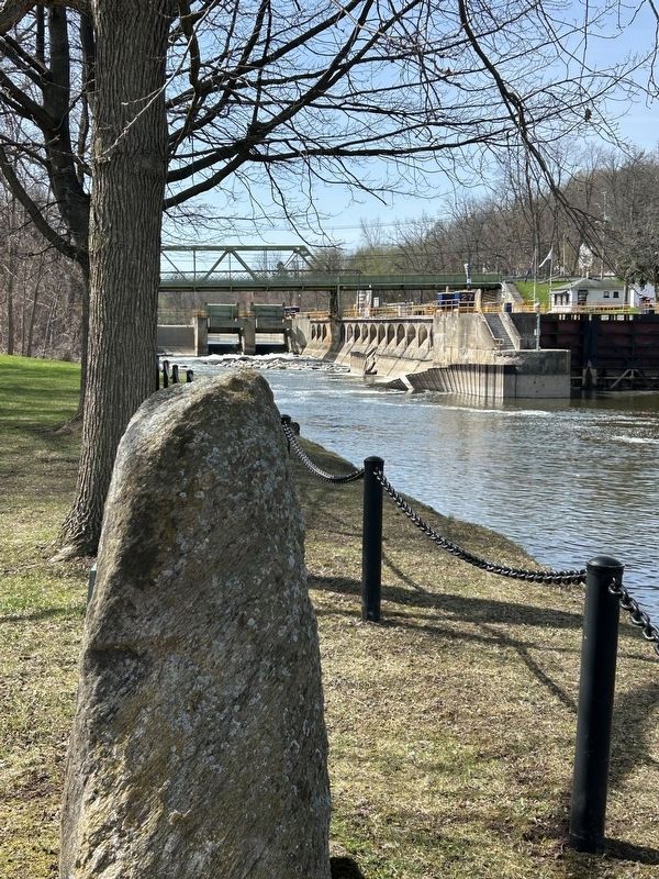
3. Landing of First Settlers Marker
Photographed by Susan A. Dalaba, April 20, 2025
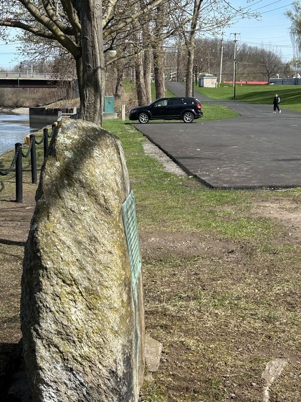
4. Entrance to Lyons Southside Canal Park and Landing of First Settlers Marker
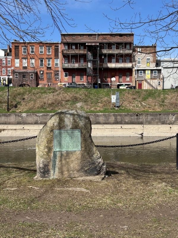
Photographed by Susan A. Dalaba, April 20, 2025
5. Landing of First Settlers Marker - Looking North
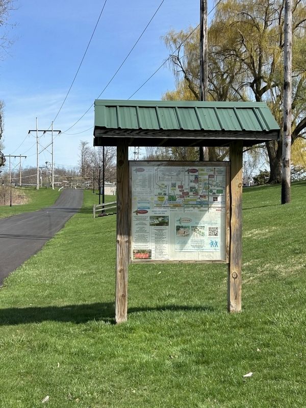
Photographed by Susan A. Dalaba, April 20, 2025
6. Kiosk On the Southside of Parking Lot From Landing of First Settlers Marker
Credits. This page was last revised on April 22, 2025. It was originally submitted on April 21, 2025, by Susan A. Dalaba of Cortland, New York. This page has been viewed 195 times since then and 29 times this year. Photos: 1, 2, 3, 4, 5, 6. submitted on April 21, 2025, by Susan A. Dalaba of Cortland, New York. • Andrew Ruppenstein was the editor who published this page.
