America Township near Pukwana in Brule County, South Dakota — The American Midwest (Upper Plains)
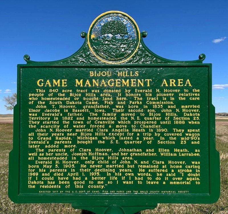
Bijou Hills Game Management Area
April 19, 2025
1. Bijou Hills Game Management Area Marker
John T. Hoover, grandfather, was born in 1835 and married Elnor Jacobs in Bassett, Iowa. Their second son, John N. Hoover, was Everald's father. The family moved to Bijou Hills, Dakota Territory in 1882 and homesteaded the N. E. quarter of Section 25. They started the town of Granville which prospered until 1888 when the scarcity of water forced a move to Chandler.
John N. Hoover married Clara Angelia Heath in 1890. They spent all their years near Bijou Hills except for a trip by covered wagon to Grand Rapids, Michigan which lasted a year. In the mid-90's Everald's parents bought the S. E. quarter of Section 23 and later added more.
The parents of Clara Hoover, Johnathan and Ellen Heath, as well as her uncle, Joseph Hoffman, and her grandfather, William Larrabee, all homesteaded in the Bijou Hills area.
Everald H. Hoover, only child of John N. and Clara Hoover, was born May
this page online
Erected 1977 by the S. D. Dept. of Game, Fish and Parks and the Brule County Historical Society. (Marker Number 479.)
Topics. This historical marker is listed in this topic list: Settlements & Settlers. A significant historical date for this entry is April 1, 1975.
Location. 43° 31.779′ N, 99° 10.239′ W. Marker is near Pukwana, South Dakota, in Brule County. It is in America Township. It is on 351st Avenue (State Highway 50) north of 266th Street, on the right when traveling south. Touch for map. Marker is in this post office area: Chamberlain SD 57325, United States of America. Touch for directions.

Regionally, this marker is in East River. It is also in the American Lewis & Clark Corridor, on the prairies, and on the Northern Plains. Globally, it is in North America, the Western Hemisphere, the
April 19, 2025
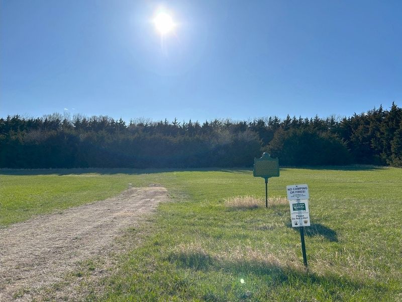
2. Bijou Hills Game Management Area Marker
Other nearby markers. At least one other marker is within 7 miles of this marker, measured as the crow flies: Camfield Memorial (approx. 6.7 miles away).
April 19, 2025
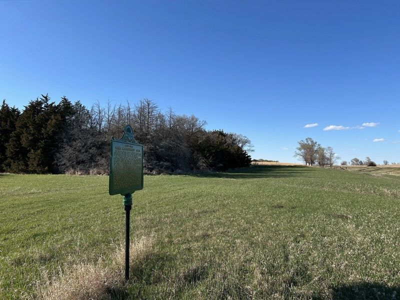
3. Bijou Hills Game Management Area Marker, from the south
April 19, 2025
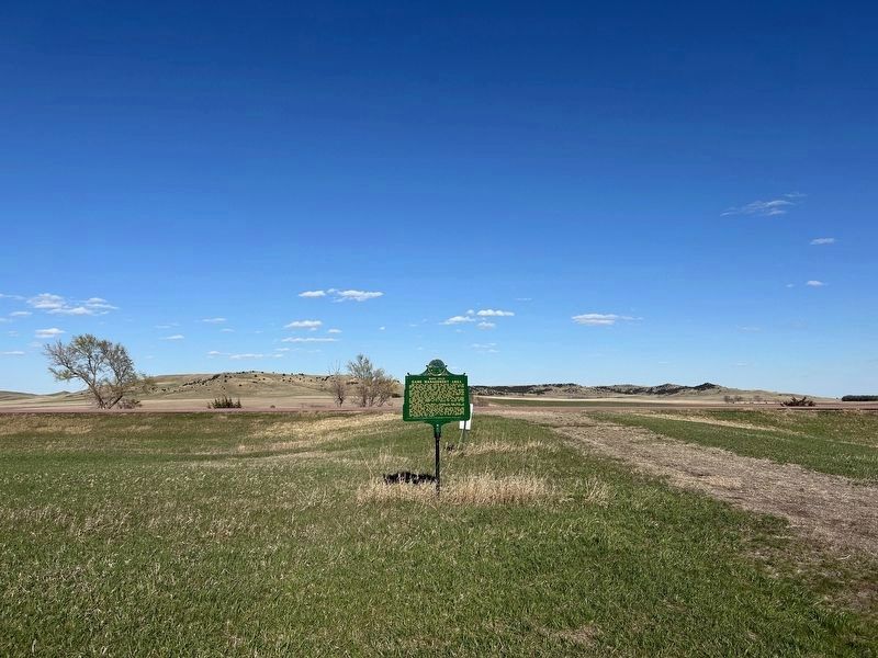
4. Bijou Hills Game Management Area Marker
The Bijou Hills can be seen in the background.
Credits. This page was last revised on April 24, 2025. It was originally submitted on April 24, 2025. This page has been viewed 239 times since then and 44 times this year. Photos: 1, 2, 3, 4. submitted on April 24, 2025.
