Penn Township near Jeannette in Westmoreland County, Pennsylvania — The American Northeast (Mid-Atlantic)
Pathways For Commerce and Conquest:
Horse Tack and Pack Trains
Photographed by Bradley Owen, April 9, 2025
1. Pathways For Commerce and Conquest: Marker
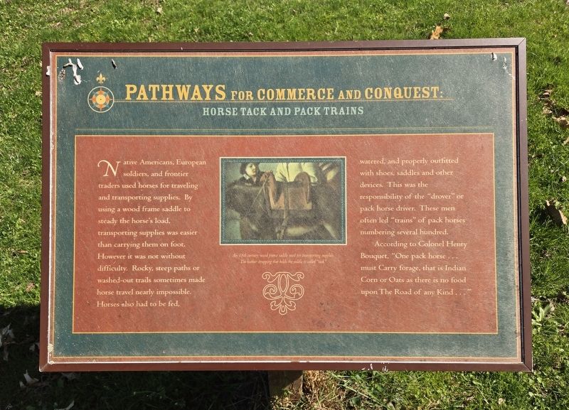
Native Americans, European soldiers, and frontier traders used horses for traveling and transporting supplies. By using a wood frame saddle to steady the horse's load, transporting supplies was easier than carrying them on foot. However it was not without difficulty. Rocky, steep paths or washed-out trails sometimes made horse travel nearly impossible. Horses also had to be fed, watered, and properly outfitted with shoes, saddles and other devices. This was the responsibility of the "drover" or pack horse driver. These men often led "trains" of pack horses numbering several hundred.
According to Colonel Henry Bouquet, "One pack horse must Carry forage, that is Indian Corn or Oats as there is no food upon The Road of any Kind . . . "
(Caption):
An 18th century wood frame saddle used for transporting supplies. The leather strapping that holds the saddle is called "tack."
Topics. This historical marker is listed in this topic list: Animals.
Location. 40° 21.28′ N, 79° 37.285′ W. Marker is near Jeannette, Pennsylvania, in Westmoreland County. It is in Penn Township.
this page online

Regionally, this marker is in the Laurel Highlands and in Greater Pittsburgh. It is also in the American Northeast, in the Mid-Atlantic, in Appalachia, and specifically in Northern Appalachia. Globally, it is in North America, the Western Hemisphere, the Western World, and the Anglosphere. Historically, it finds itself in what was once the Viceroyalty of New France, the Haudenosaunee (Iroquois) Confederacy, and one of the original Thirteen Colonies.
Other nearby markers. At least 8 other markers are within walking distance of this marker: A different marker also named Pathways For Commerce and Conquest: (a few steps from this marker); Pathways for Commerce and Conquest: (a few steps from this marker); a different marker also named Pathways for Commerce and Conquest: (within shouting distance of this marker); a different marker

Photographed by Bradley Owen, April 9, 2025
2. Pathways For Commerce and Conquest: Marker
Credits. This page was last revised on April 26, 2025. It was originally submitted on April 26, 2025, by Bradley Owen of Morgantown, West Virginia. This page has been viewed 117 times since then and 27 times this year. Photos: 1, 2. submitted on April 26, 2025, by Bradley Owen of Morgantown, West Virginia.
