Kylemore in County Galway, Connacht, Ireland — Irish West ((Éire) North Atlantic Ocean)
Lake Walk
Photographed by William Fischer, Jr., April 8, 2025
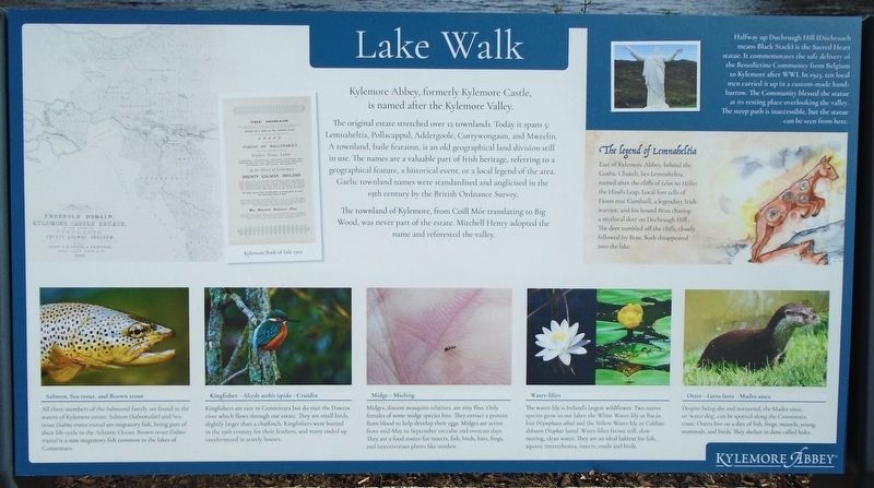
1. Lake Walk Marker

is named after the Kylemore Valley.
The original estate stretched over 12 townlands. Today it spans 5:
Lemnaheltia, Pollacappul, Addergoole, Currywongaun, and Mweelin.
A townland,
in use. The names are a valuable part of Irish heritage, referring to a
geographical feature, a historical event, or a local legend of the area.
Gaelic townland names were standardised and anglicised in the
19th century by the British Ordnance Survey.
The townland of Kylemore, from
Wood, was never part of the estate. Mitchell Henry adopted the
named and reforested the valley.
[Marker excerpts with historical information follow]
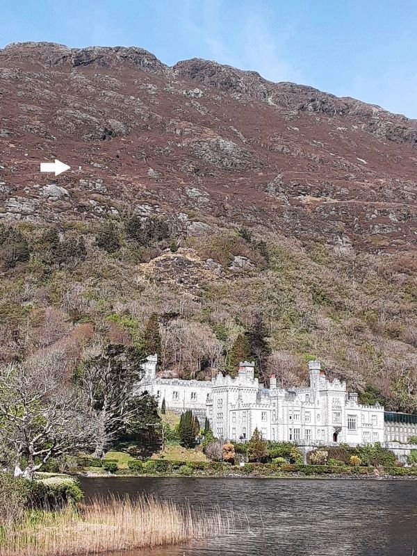
Halfway up Duchruagh Hill (
this page online
The Legend of Lemnaheltia
East of Kylemore Abbey, behind the Gothic Church, lies Lemnaheltia, named after the cliffs of
Kingfisher -
Kingfishers are rare in Connemara but do visit the Dawros river which flows through our estate. They are small birds, slightly larger than a chaffinch. Kingfishers were hunted in the 19th century for their feathers, and many ended up taxidermized in stately houses.
[Balance of marker is natural history related and not transcribed]
Erected by Kylemore Abbey.
Topics. This historical marker is listed in these topic lists: Architecture • Religion & Religious Structures • Settlements & Settlers. A significant historical year for this entry is 1923.
Location. 53° 33.621′ N, 9° 53.454′ W. Marker is in Kylemore, Connacht, in County Galway. It can be reached from no nearby street. Marker is on
Photographed by William Fischer, Jr., April 8, 2025
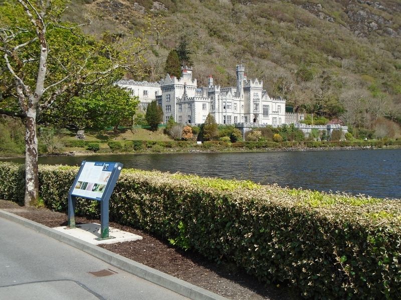
2. Lake Walk Marker

Regionally, it is on the Atlantic Ocean, in the North Atlantic Region, on the Atlantic Arc, in Europe, on the Island of Ireland, on the Celtic Fringe, in the European Union, in Atlantic Europe, on one of the British Isles, in the Western World, and in the Anglosphere.
Other nearby markers. At least 8 other markers are within 18 kilometers of this marker, measured as the crow flies: A different marker also named Lake Walk (about 120 meters away, measured in a direct line); Meet The Yew (about 120 meters away); Kylemore Castle Ash Pit (about 150 meters away); From Generation to Generation (about 180 meters away); a different marker also named Lake Walk (approx. 0.3 kilometers away); 1849 Famine Walk (approx. 13.8 kilometers away); Srahwee or Altóir Megalithic Wedge Tomb (approx. 16.8 kilometers away); Killeen Graveyard and Cross Slab (approx. 17 kilometers away). Touch for a list and map of all markers in Kylemore.
Also see . . . Kylemore Abbey.
Photographed by William Fischer, Jr., April 8, 2025
3. Sacred Heart Statue on Duchruagh Hill
Credits. This page was last revised on May 7, 2026. It was originally submitted on April 26, 2025, by William Fischer, Jr. of Reynoldsburg, Ohio. This page has been viewed 119 times since then and 20 times this year. Photos: 1, 2, 3. submitted on April 26, 2025, by William Fischer, Jr. of Reynoldsburg, Ohio.
