Marion in Williamson County, Illinois — The American Midwest (Great Lakes)
World War II Industry
Photographed by Craig Baker, April 26, 2025
1. World War II Industry Marker
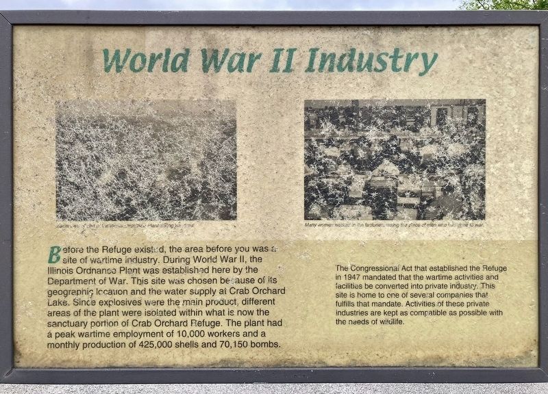
Before the Refuge existed, the area before you was a site of wartime industry. During World War II, the Illinois Ordnance Plant was established here by the Department of War. This site was chosen because of its geographic location and the water supply at Crab Orchard Lake. Since explosives were the main product, different areas of the plant were isolated within what is now the sanctuary portion of Crab Orchard Refuge. The plant had a peak wartime employment of 10,000 workers and a monthly production of 425,000 shells and 70,150 bombs.
The Congressional Act that established the Refuge in 1947 mandated that the wartime activities and facilities be converted into private industry. This site is home to one of several companies that fulfills that mandate. Activities of these private industries are kept as compatible as possible with the needs of wildlife.
Topics. This historical marker is listed in these topic lists: Industry & Commerce • Natural Resources • War, World II. A significant historical year for this entry is 1947.
Location. 37° 42.969′ N, 89° 2.824′ W. Marker is in Marion, Illinois,
this page online

Regionally, this marker is in Southern Illinois — Little Egypt. It is also in the American Midwest and in the Corn Belt. Globally, it is in North America, the Western Hemisphere, the Western World, and the Anglosphere. Historically, it finds itself in what was once the territory of the Mississippian Culture and also the Northwest Territory.
Other nearby markers. At least 8 other markers are within 7 miles of this marker, measured as the crow flies: Chamnesstown School (approx. 1.1 miles away); Joseph Cannon Way (approx. 4.2 miles away); George Rogers Clark (approx. 5.8 miles away); Herrin Massacre Memorial (approx. 5.9 miles away); Stotlar - De Mattei House (approx. 6 miles away); War Memorial (approx. 6.3 miles away); Dedicated to All Veteran in all Wars (approx. 6.6 miles away); Williamson County Jail (approx. 6.6 miles away). Touch for a list and map
Photographed by Craig Baker, April 26, 2025
2. World War II Industry Marker
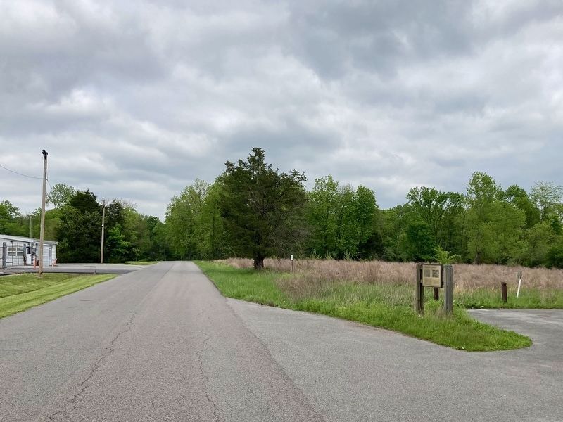
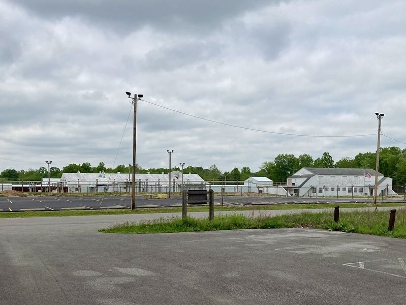
Next to the parking lot across from a factory.
Photographed by Craig Baker, April 26, 2025
3. World War II Industry Marker
Credits. This page was last revised on July 5, 2025. It was originally submitted on April 26, 2025, by Craig Baker of Sylmar, California. This page has been viewed 283 times since then and 67 times this year. Photos: 1, 2, 3. submitted on April 26, 2025, by Craig Baker of Sylmar, California.
