Marion in Williamson County, Illinois — The American Midwest (Great Lakes)
Chamnesstown School
Photographed by Craig Baker, April 26, 2025
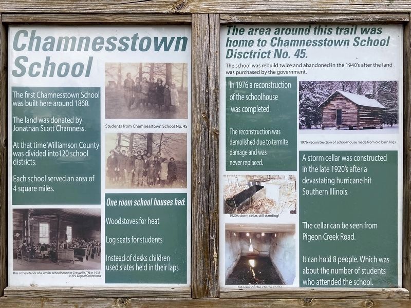
1. Chamnesstown School Marker
The first Chamnesstown School was built here around 1860.
The land was donated by Jonathan Scott Chamness.
At that time Williamson County was divided into 120 school districts.
Each school served an area of 4 square miles.
One room school houses had:
Wood stoves for heat.
Log seats for students.
Instead of desks children used slates held in their laps.
The area around this trail was home to Chamnesstown School Disctrict No. 45.
The school was rebuilt twice and abandoned in the 1940's after the land was purchased by the government.
In 1976 a reconstruction of the schoolhouse was completed.
The reconstruction was demolished due to termite damage and was never replaced.
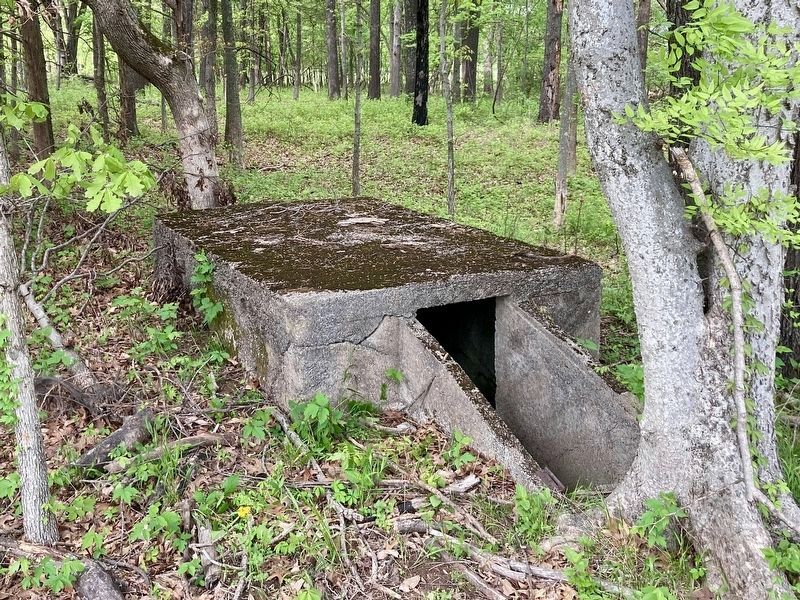
A storm cellar was constructed in the late 1920's after a devastating hurricane hit Southern Illinois.
The cellar can be seen from Pigeon Creek Road.
It can hold 8 people. Which was about the number of students who attended the school.
Topics. This historical marker is listed in these topic lists: Education • Settlements & Settlers. A significant historical year for this entry is 1860.
Location. 37° 43.217′ N,
this page online

Regionally, this marker is in Southern Illinois — Little Egypt. It is also in the American Midwest and in the Corn Belt. Globally, it is in North America, the Western Hemisphere, the Western World, and the Anglosphere. Historically, it finds itself in what was once the territory of the Mississippian Culture and also the Northwest Territory.
Other nearby markers. At least 8 other markers are within 6 miles of this marker, measured as the crow flies: World War II Industry (approx. 1.1 miles away); Joseph Cannon Way (approx. 3.1 miles away); Stotlar - De Mattei House (approx. 4.9 miles away); Herrin Massacre Memorial (approx. 5.3 miles away); George Rogers Clark (approx. 5.4 miles away); Dedicated to All Veteran in all Wars (approx. 5½ miles away); Williamson County Jail (approx. 5½ miles away); Goddard Memorial Chapel
Photographed by Craig Baker, April 26, 2025
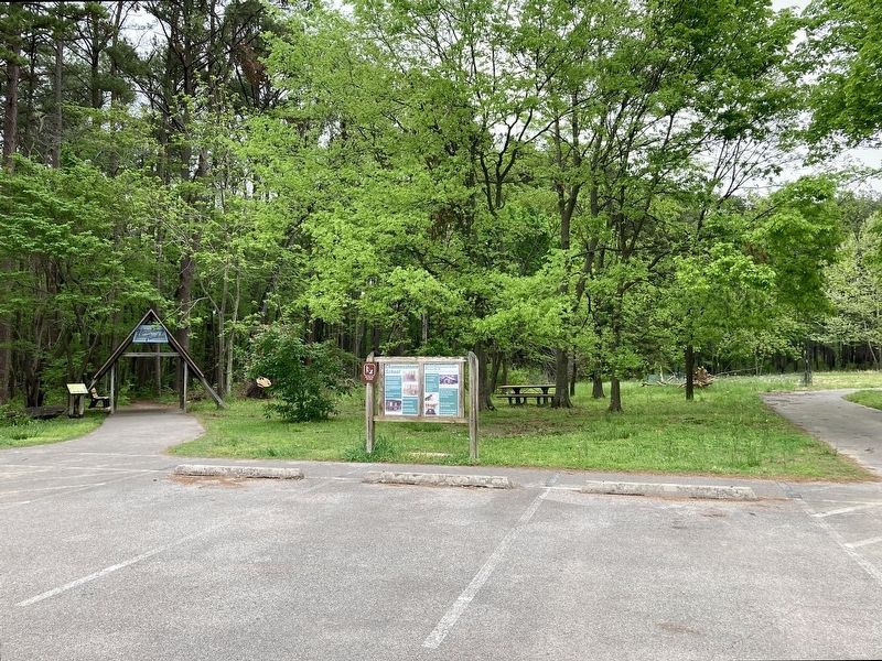
2. Chamnesstown School Marker

3. 1976 Reconstruction of School House
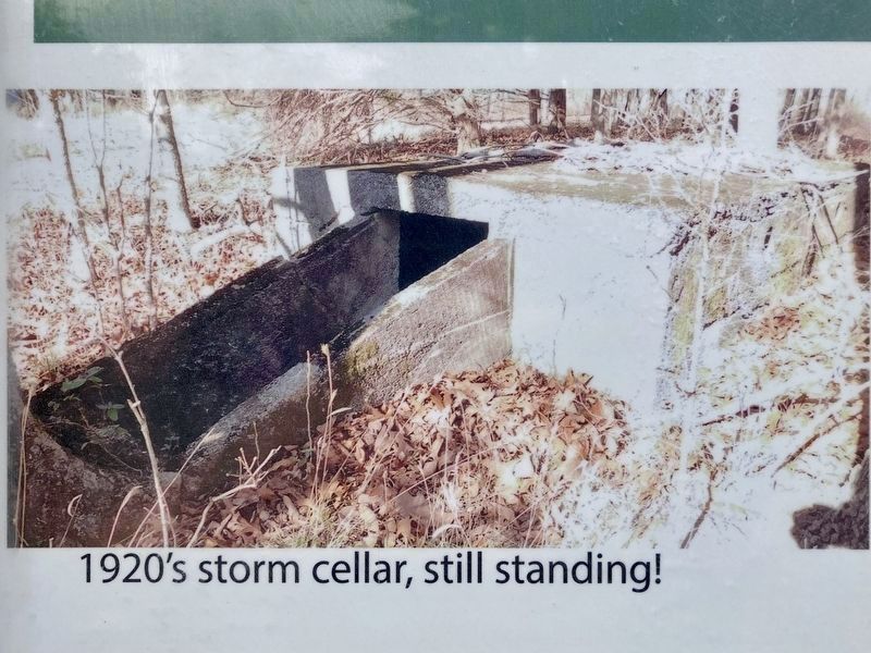
4. 1920s Storm Cellar, still standing!
Photographed by Craig Baker, April 26, 2025
5. 1920s Storm Cellar, still standing!
Photographed by Craig Baker, April 26, 2025
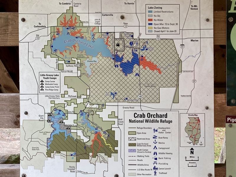
6. Crab Orchard NWR Map
Click on any photo to see it full size.
Credits. This page was last revised on April 27, 2025. It was originally submitted on April 27, 2025, by Craig Baker of Sylmar, California. This page has been viewed 236 times since then and 57 times this year. Photos: 1, 2, 3, 4, 5, 6. submitted on April 27, 2025, by Craig Baker of Sylmar, California.
